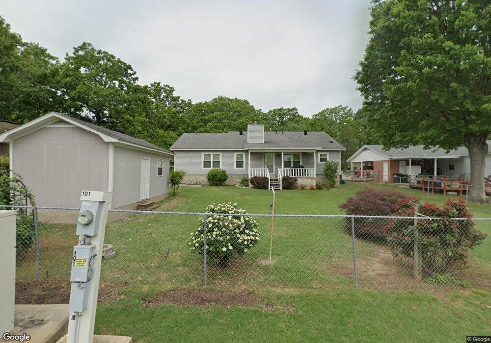
104 N Longfield Ave Sherwood, AR 72120
Estimated Value: $209,642 - $246,000
--
Bed
2
Baths
1,589
Sq Ft
$139/Sq Ft
Est. Value
About This Home
This home is located at 104 N Longfield Ave, Sherwood, AR 72120 and is currently estimated at $220,661, approximately $138 per square foot. 104 N Longfield Ave is a home located in Pulaski County with nearby schools including Sherwood Elementary School, Sylvan Hills Middle School, and Sylvan Hills High School.
Ownership History
Date
Name
Owned For
Owner Type
Purchase Details
Closed on
Jun 21, 2005
Sold by
Wilson Sherry J and Naramore Jennifer N
Bought by
White Jimmy D and White Laura R
Current Estimated Value
Home Financials for this Owner
Home Financials are based on the most recent Mortgage that was taken out on this home.
Original Mortgage
$136,356
Outstanding Balance
$70,589
Interest Rate
5.63%
Mortgage Type
VA
Estimated Equity
$150,072
Purchase Details
Closed on
Oct 24, 1997
Sold by
Smith Jimmy H and Smith Noel
Bought by
Smith Jimmy H and Smith Noel
Create a Home Valuation Report for This Property
The Home Valuation Report is an in-depth analysis detailing your home's value as well as a comparison with similar homes in the area
Home Values in the Area
Average Home Value in this Area
Purchase History
| Date | Buyer | Sale Price | Title Company |
|---|---|---|---|
| White Jimmy D | $132,000 | -- | |
| Smith Jimmy H | -- | -- |
Source: Public Records
Mortgage History
| Date | Status | Borrower | Loan Amount |
|---|---|---|---|
| Open | White Jimmy D | $136,356 |
Source: Public Records
Tax History Compared to Growth
Tax History
| Year | Tax Paid | Tax Assessment Tax Assessment Total Assessment is a certain percentage of the fair market value that is determined by local assessors to be the total taxable value of land and additions on the property. | Land | Improvement |
|---|---|---|---|---|
| 2025 | $961 | $34,203 | $6,400 | $27,803 |
| 2024 | $961 | $34,203 | $6,400 | $27,803 |
| 2023 | $961 | $34,203 | $6,400 | $27,803 |
| 2022 | $1,135 | $34,203 | $6,400 | $27,803 |
| 2021 | $1,083 | $25,600 | $6,000 | $19,600 |
| 2020 | $702 | $25,600 | $6,000 | $19,600 |
| 2019 | $702 | $25,600 | $6,000 | $19,600 |
| 2018 | $727 | $25,600 | $6,000 | $19,600 |
| 2017 | $724 | $25,600 | $6,000 | $19,600 |
| 2016 | $961 | $25,230 | $5,200 | $20,030 |
| 2015 | $937 | $18,451 | $5,200 | $13,251 |
| 2014 | $937 | $18,451 | $5,200 | $13,251 |
Source: Public Records
Map
Nearby Homes
- 300 Burntwood Rd
- 1503 Hawkwood Rd
- 304 Verona Ave
- 1406 Coolhurst Ave
- 609 Newcastle Dr
- 610 Newcastle Dr
- 619 Newcastle Dr
- 1300 Stafford Rd
- 615 & 617 Brierly Dr
- 11 Daniel Dr
- 615 Brierly Dr
- 618 & 620 Newcastle Dr
- 1301 Stafford Rd
- 622 Newcastle Dr
- 503 Brent Dr
- +/- 8.16 Acres Windchime Ave
- 626 Newcastle Dr
- 1415 Stafford Rd
- 1419 Stafford Rd
- 8 Beaconsfield Ct
- 106 N Longfield Ave
- 1200 Country Club Rd
- 1208 Country Club Rd
- 108 N Longfield Ave
- 108 N Longfield Ave
- 101 N Longfield Ave
- 105 N Longfield Ave
- 1204 Country Club Rd
- 100 S Longfield Ave
- 107 N Longfield Ave
- 104 Abdin Ct
- 200 N Longfield Ave
- 1212 Country Club Rd
- N Longfield Ave
- 109 N Longfield Ave
- 1207 Country Club Rd
- 101 S Longfield Ave
- 106 Abdin Ct
- 104 S Longfield Ave
- 1104 Country Club Rd