104 N Range St Westport, IN 47283
Estimated Value: $101,000 - $153,000
2
Beds
1
Bath
1,173
Sq Ft
$115/Sq Ft
Est. Value
About This Home
This home is located at 104 N Range St, Westport, IN 47283 and is currently estimated at $135,450, approximately $115 per square foot. 104 N Range St is a home with nearby schools including South Decatur Elementary School and South Decatur Junior/Senior High School.
Create a Home Valuation Report for This Property
The Home Valuation Report is an in-depth analysis detailing your home's value as well as a comparison with similar homes in the area
Home Values in the Area
Average Home Value in this Area
Tax History Compared to Growth
Tax History
| Year | Tax Paid | Tax Assessment Tax Assessment Total Assessment is a certain percentage of the fair market value that is determined by local assessors to be the total taxable value of land and additions on the property. | Land | Improvement |
|---|---|---|---|---|
| 2024 | $356 | $84,400 | $8,600 | $75,800 |
| 2023 | $317 | $78,200 | $8,600 | $69,600 |
| 2022 | $315 | $71,300 | $8,600 | $62,700 |
| 2021 | $1,238 | $61,900 | $8,600 | $53,300 |
| 2020 | $1,046 | $52,300 | $6,200 | $46,100 |
| 2019 | $926 | $46,300 | $6,200 | $40,100 |
| 2018 | $852 | $42,600 | $6,200 | $36,400 |
| 2017 | $775 | $40,600 | $6,200 | $34,400 |
| 2016 | $740 | $39,000 | $5,500 | $33,500 |
| 2014 | $697 | $37,000 | $5,500 | $31,500 |
| 2013 | $703 | $35,500 | $5,500 | $30,000 |
Source: Public Records
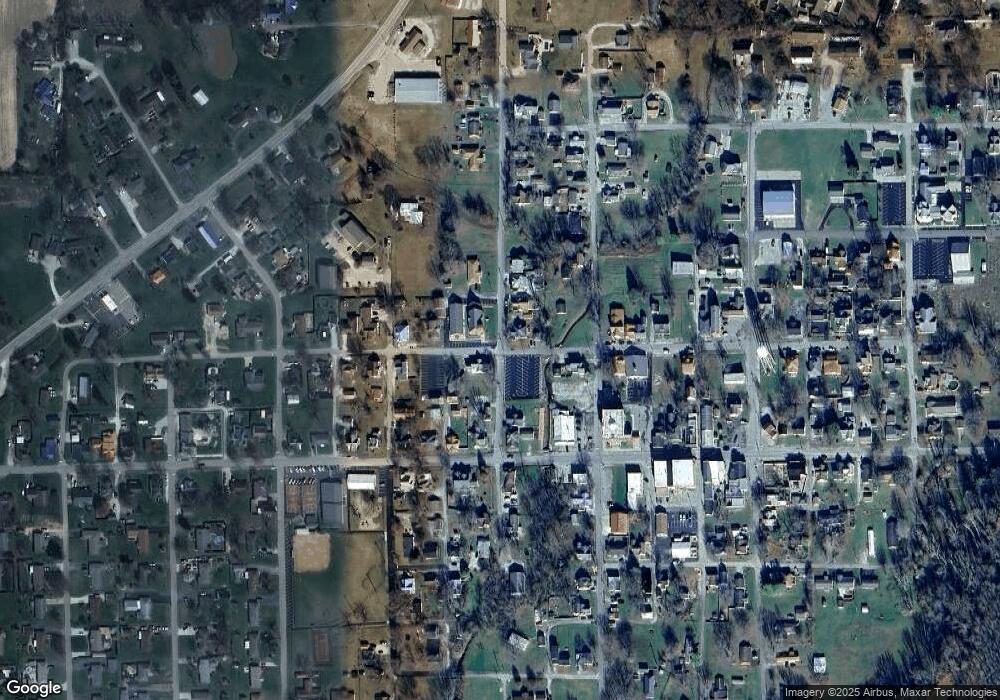
Map
Nearby Homes
- 107 W Main St
- 217 E Sycamore St
- 508 Deer Run
- 503 E Bennett St
- 506 E North St
- 1017 W Main St
- 3852 W Co Road 1100 S
- 0 W Co Rd 1100 S
- 3058 W Co Road 1100 S
- 11182 S Co Road 280 W
- 6440 W County Road 1300 S
- 7962 S State Road 3
- 4281 W County Road 800 S
- 1816 W County Road 1000 S
- 6838 S Mill St
- 7530 N Base Rd
- 6255 E County Road 850 N
- 4944 S County Road 240 W
- 28 W Co Road 700 S
- 8950 N County Road 350 W