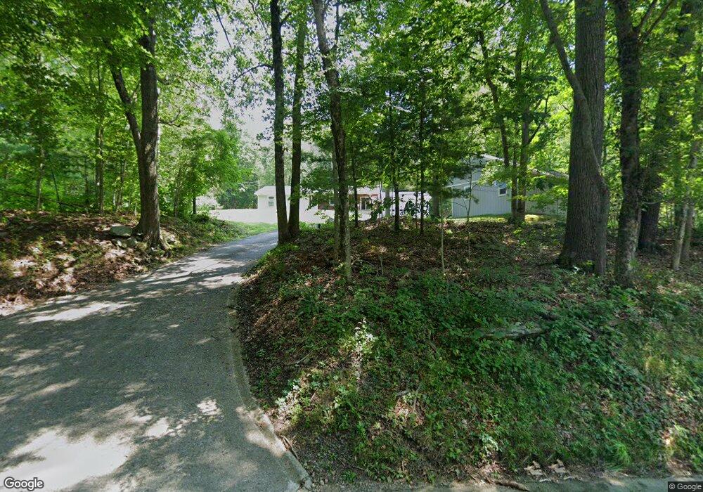
104 New Rd Moosup, CT 06354
Estimated Value: $367,356 - $388,000
3
Beds
1
Bath
1,348
Sq Ft
$280/Sq Ft
Est. Value
About This Home
This home is located at 104 New Rd, Moosup, CT 06354 and is currently estimated at $377,589, approximately $280 per square foot. 104 New Rd is a home located in Windham County with nearby schools including Plainfield Memorial School, Plainfield Central Middle School, and Plainfield High School.
Ownership History
Date
Name
Owned For
Owner Type
Purchase Details
Closed on
Mar 7, 2025
Sold by
Capracotta Alan and Capracotta Donna
Bought by
Turchetta Samantha M and Capracotta Nicole M
Current Estimated Value
Purchase Details
Closed on
Aug 26, 1994
Sold by
Johnson Arthur and Johnson Nancy
Bought by
Gorenski Jay M
Home Financials for this Owner
Home Financials are based on the most recent Mortgage that was taken out on this home.
Original Mortgage
$120,350
Interest Rate
9%
Mortgage Type
Unknown
Create a Home Valuation Report for This Property
The Home Valuation Report is an in-depth analysis detailing your home's value as well as a comparison with similar homes in the area
Home Values in the Area
Average Home Value in this Area
Purchase History
| Date | Buyer | Sale Price | Title Company |
|---|---|---|---|
| Turchetta Samantha M | -- | None Available | |
| Turchetta Samantha M | -- | None Available | |
| Gorenski Jay M | $118,000 | -- | |
| Gorenski Jay M | $118,000 | -- |
Source: Public Records
Mortgage History
| Date | Status | Borrower | Loan Amount |
|---|---|---|---|
| Previous Owner | Gorenski Jay M | $74,000 | |
| Previous Owner | Gorenski Jay M | $119,812 | |
| Previous Owner | Gorenski Jay M | $120,350 |
Source: Public Records
Tax History
| Year | Tax Paid | Tax Assessment Tax Assessment Total Assessment is a certain percentage of the fair market value that is determined by local assessors to be the total taxable value of land and additions on the property. | Land | Improvement |
|---|---|---|---|---|
| 2025 | $4,721 | $199,960 | $41,130 | $158,830 |
| 2024 | $4,609 | $199,960 | $41,130 | $158,830 |
| 2023 | $4,587 | $199,960 | $41,130 | $158,830 |
| 2022 | $5,835 | $130,920 | $35,310 | $95,610 |
| 2021 | $4,023 | $130,920 | $35,310 | $95,610 |
| 2020 | $3,997 | $130,920 | $35,310 | $95,610 |
| 2019 | $3,997 | $130,920 | $35,310 | $95,610 |
| 2018 | $3,935 | $130,920 | $35,310 | $95,610 |
| 2017 | $3,943 | $123,140 | $36,330 | $86,810 |
| 2016 | $3,811 | $123,140 | $36,330 | $86,810 |
| 2015 | $3,714 | $123,140 | $36,330 | $86,810 |
| 2014 | $3,714 | $123,140 | $36,330 | $86,810 |
Source: Public Records
Map
Nearby Homes
- 52 Northern Dr
- 143 Goshen Rd
- 73 Sterling Hill Rd
- 18 Ledge Hill Rd
- 131 Church St
- 29 Union St
- 6 Grace Ln
- 10 Grace Ln
- 8 Grace Ln
- 12 Mechanic St
- 22 Grove St
- 187-189 Prospect St
- 41-43 Milner Ave
- 58 Milner Ave
- 4 Johns Cir Unit Lot 31
- 1 Johns Cir
- 8 John's Cir Unit Lot 33
- 1 John's Cir Unit Lot 37
- 28 Walas Rd
- 100 Squaw Rock Rd
- 92 New Rd
- 116 New Rd
- 124 New Rd
- 0 New ( 96 Acre) Rd Unit 170051234
- 0 New ( 96 Acre) Rd Unit 170154881
- 74 New Rd
- 134 New Rd
- 140 New Rd
- 150 New Rd
- 0 New (7 13 Acre) Rd Unit 170051239
- 0 New (7 13 Acre) Rd Unit 170154825
- 325 Sterling Hill Rd
- 351 Sterling Hill Rd
- 425 Sterling Hill Rd
- 354 Sterling Hill Rd
- 16 New Rd
- 389 Sterling Hill Rd
- 318 Sterling Hill Rd
- 399 Sterling Hill Rd
- 33 Sterling Hill Rd
Your Personal Tour Guide
Ask me questions while you tour the home.