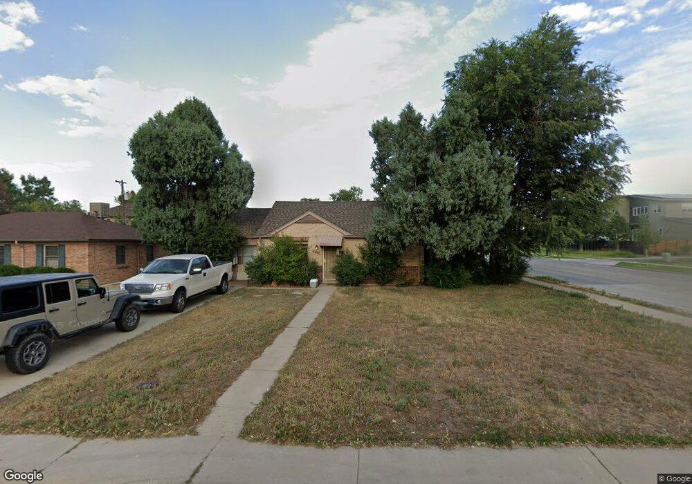
104 Niagara St Denver, CO 80220
Hilltop NeighborhoodEstimated Value: $439,503 - $575,000
2
Beds
1
Bath
994
Sq Ft
$504/Sq Ft
Est. Value
About This Home
This home is located at 104 Niagara St, Denver, CO 80220 and is currently estimated at $500,626, approximately $503 per square foot. 104 Niagara St is a home located in Denver County with nearby schools including Lowry Elementary School, Hill Campus of Arts & Sciences, and George Washington High School.
Ownership History
Date
Name
Owned For
Owner Type
Purchase Details
Closed on
Jan 17, 2019
Sold by
Armatas Peter Nick and Estate Of Zoi Armatas
Bought by
Armatas Peter Nick
Current Estimated Value
Purchase Details
Closed on
Mar 31, 1997
Sold by
Douglas A Cluff Inc
Bought by
Armatas Zoi
Home Financials for this Owner
Home Financials are based on the most recent Mortgage that was taken out on this home.
Original Mortgage
$55,000
Interest Rate
5.88%
Create a Home Valuation Report for This Property
The Home Valuation Report is an in-depth analysis detailing your home's value as well as a comparison with similar homes in the area
Home Values in the Area
Average Home Value in this Area
Purchase History
| Date | Buyer | Sale Price | Title Company |
|---|---|---|---|
| Armatas Peter Nick | -- | None Available | |
| Armatas Zoi | $110,000 | North American Title |
Source: Public Records
Mortgage History
| Date | Status | Borrower | Loan Amount |
|---|---|---|---|
| Previous Owner | Armatas Zoi | $55,000 |
Source: Public Records
Tax History
| Year | Tax Paid | Tax Assessment Tax Assessment Total Assessment is a certain percentage of the fair market value that is determined by local assessors to be the total taxable value of land and additions on the property. | Land | Improvement |
|---|---|---|---|---|
| 2025 | $2,440 | $34,670 | $29,640 | $29,640 |
| 2024 | $2,440 | $30,810 | $22,320 | $8,490 |
| 2023 | $2,387 | $30,810 | $22,320 | $8,490 |
| 2022 | $2,172 | $27,310 | $24,720 | $2,590 |
| 2021 | $2,097 | $28,100 | $25,430 | $2,670 |
| 2020 | $1,970 | $26,550 | $16,190 | $10,360 |
| 2019 | $1,915 | $26,550 | $16,190 | $10,360 |
| 2018 | $1,874 | $24,220 | $16,300 | $7,920 |
| 2017 | $1,868 | $24,220 | $16,300 | $7,920 |
| 2016 | $1,764 | $21,630 | $14,161 | $7,469 |
| 2015 | $1,690 | $21,630 | $14,161 | $7,469 |
| 2014 | $1,436 | $17,290 | $8,756 | $8,534 |
Source: Public Records
Map
Nearby Homes
- 6619 E Lowry Blvd Unit 112
- 6975 E Irvington Place
- 6820 E Lowry Blvd
- 6618 E Lowry Blvd Unit 110
- 230 Monaco Pkwy
- 6850 E Lowry Blvd
- 10 Oneida Ct
- 295 Oneida St
- 6971 E Lowry Blvd
- 300 Oneida St
- 46 S Oneida St
- 290 Krameria St
- 159 Quebec St Unit D
- 159 Quebec St Unit B
- 209 Quebec St Unit L
- 335 Leyden St
- 188 S Locust St
- 192 S Locust St
- 6435 E Cedar Ave
- 431 Poplar St
Your Personal Tour Guide
Ask me questions while you tour the home.