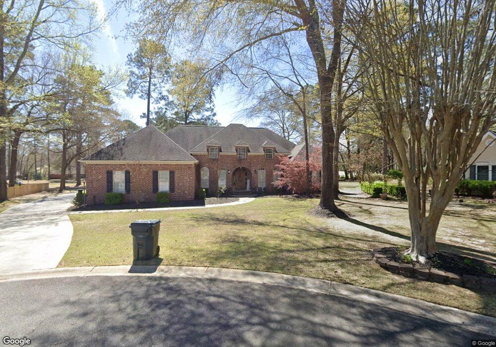
104 Par Way Warner Robins, GA 31088
Estimated Value: $403,000 - $443,000
3
Beds
3
Baths
3,368
Sq Ft
$127/Sq Ft
Est. Value
About This Home
This home is located at 104 Par Way, Warner Robins, GA 31088 and is currently estimated at $428,385, approximately $127 per square foot. 104 Par Way is a home located in Houston County with nearby schools including Bonaire Elementary School, Huntington Middle School, and Warner Robins High School.
Ownership History
Date
Name
Owned For
Owner Type
Purchase Details
Closed on
Feb 24, 2006
Sold by
Bishop Jayne Autumn
Bought by
Bishop Larry David
Current Estimated Value
Home Financials for this Owner
Home Financials are based on the most recent Mortgage that was taken out on this home.
Original Mortgage
$255,000
Outstanding Balance
$138,050
Interest Rate
6.04%
Mortgage Type
Stand Alone Refi Refinance Of Original Loan
Estimated Equity
$290,335
Purchase Details
Closed on
Apr 12, 2005
Sold by
Wright Stanley and Wright Marlene A
Bought by
Bishop Larry David and Jayne Autumn
Purchase Details
Closed on
May 2, 2002
Sold by
Likens Brian D and Likens Beth A
Bought by
Wright Stanley and Wright Marlene A
Purchase Details
Closed on
Dec 23, 1987
Sold by
Statham'S Landing Co
Bought by
Likens Brian D and Likens Beth A
Create a Home Valuation Report for This Property
The Home Valuation Report is an in-depth analysis detailing your home's value as well as a comparison with similar homes in the area
Home Values in the Area
Average Home Value in this Area
Purchase History
| Date | Buyer | Sale Price | Title Company |
|---|---|---|---|
| Bishop Larry David | -- | None Available | |
| Bishop Larry David | $62,000 | -- | |
| Wright Stanley | $45,000 | -- | |
| Likens Brian D | -- | -- |
Source: Public Records
Mortgage History
| Date | Status | Borrower | Loan Amount |
|---|---|---|---|
| Open | Bishop Larry David | $255,000 |
Source: Public Records
Tax History
| Year | Tax Paid | Tax Assessment Tax Assessment Total Assessment is a certain percentage of the fair market value that is determined by local assessors to be the total taxable value of land and additions on the property. | Land | Improvement |
|---|---|---|---|---|
| 2025 | $3,577 | $167,040 | $16,000 | $151,040 |
| 2024 | $3,880 | $164,200 | $16,000 | $148,200 |
| 2023 | $3,272 | $137,360 | $16,000 | $121,360 |
| 2022 | $3,072 | $129,080 | $16,000 | $113,080 |
| 2021 | $2,757 | $115,480 | $16,000 | $99,480 |
| 2020 | $2,588 | $108,040 | $16,000 | $92,040 |
| 2019 | $2,588 | $108,040 | $16,000 | $92,040 |
| 2018 | $2,588 | $108,040 | $16,000 | $92,040 |
| 2017 | $2,591 | $108,040 | $16,000 | $92,040 |
| 2016 | $2,595 | $108,040 | $16,000 | $92,040 |
| 2015 | $2,600 | $108,040 | $16,000 | $92,040 |
| 2014 | -- | $105,680 | $16,000 | $89,680 |
| 2013 | -- | $105,680 | $16,000 | $89,680 |
Source: Public Records
Map
Nearby Homes
- 108 Bunkers Trail
- 104 Bunkers Trail
- 108 Falcon Crest
- 215 Falcon Crest
- 256 Falcon Crest Unit STATHAMS LANDING
- 215 Falcon Crest Unit Stathams Landing
- 256 Falcon Crest
- 125 Bunkers Trail
- 109 Crest Pointe
- 100 Club Place Ct
- 212 Falcon Crest
- 107 Deerwood Dr
- 226 Landings Pointe Ln
- 114 Hampton Pointe
- 602 Charlestown Way
- 601 Charlestown Way
- 105 Sandy Pointe Dr
- 314 Apalachee Way
- 106 Mulligan Ct
- 3003 Hackberry Terrace
- 102 Par Way
- 105 Par Way
- 103 Eagle Way
- 106 Bunkers Trail
- 103 Par Way
- 105 Eagle Way
- 104 Wedge Way
- 104 Bunkers Trail Unit 50
- 102 Wedge Way
- 106 Eagle Way
- 107 Bunkers Trail
- 105 Bunkers Trail
- 104 Eagle Way
- 110 Bunkers Trail
- 207 Stathams Way
- 211 Stathams Way
- 109 Bunkers Trail
- 106 Wedge Way
- 103 Bunkers Trail
- 213 Stathams Way
Your Personal Tour Guide
Ask me questions while you tour the home.