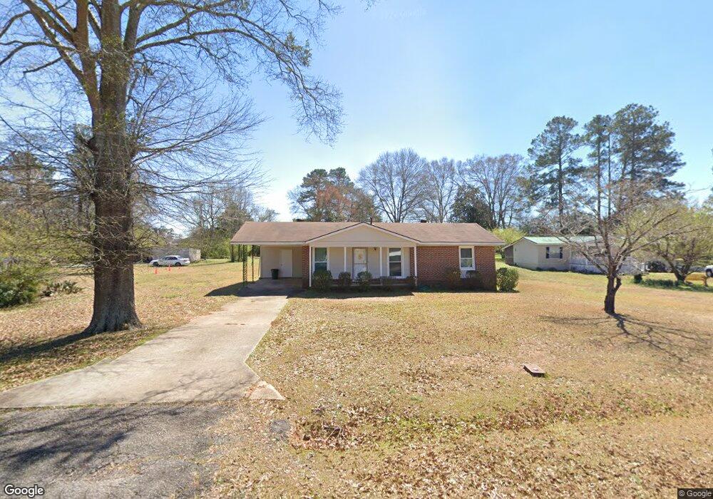
104 Riley Rd Lagrange, GA 30241
Estimated Value: $126,000 - $138,000
3
Beds
1
Bath
936
Sq Ft
$142/Sq Ft
Est. Value
About This Home
This home is located at 104 Riley Rd, Lagrange, GA 30241 and is currently estimated at $132,847, approximately $141 per square foot. 104 Riley Rd is a home located in Troup County with nearby schools including Hollis Hand Elementary School, Franklin Forest Elementary School, and Ethel W. Kight Elementary School.
Ownership History
Date
Name
Owned For
Owner Type
Purchase Details
Closed on
Jan 25, 2013
Sold by
Davis Linda Cindrick
Bought by
Jones Kellie Jo
Current Estimated Value
Home Financials for this Owner
Home Financials are based on the most recent Mortgage that was taken out on this home.
Original Mortgage
$38,000
Outstanding Balance
$26,246
Interest Rate
3.38%
Mortgage Type
New Conventional
Estimated Equity
$106,601
Purchase Details
Closed on
Aug 19, 1982
Sold by
White Larry Dan
Bought by
White Linda Cindrick
Purchase Details
Closed on
Jan 1, 1971
Bought by
White Larry Dan
Create a Home Valuation Report for This Property
The Home Valuation Report is an in-depth analysis detailing your home's value as well as a comparison with similar homes in the area
Purchase History
| Date | Buyer | Sale Price | Title Company |
|---|---|---|---|
| Jones Kellie Jo | $40,000 | -- | |
| White Linda Cindrick | -- | -- | |
| White Larry Dan | -- | -- |
Source: Public Records
Mortgage History
| Date | Status | Borrower | Loan Amount |
|---|---|---|---|
| Open | Jones Kellie Jo | $38,000 |
Source: Public Records
Tax History
| Year | Tax Paid | Tax Assessment Tax Assessment Total Assessment is a certain percentage of the fair market value that is determined by local assessors to be the total taxable value of land and additions on the property. | Land | Improvement |
|---|---|---|---|---|
| 2025 | $1,245 | $45,640 | $3,280 | $42,360 |
| 2024 | $1,066 | $39,080 | $3,280 | $35,800 |
| 2023 | $773 | $30,320 | $3,280 | $27,040 |
| 2022 | $754 | $29,000 | $3,280 | $25,720 |
| 2021 | $848 | $30,120 | $3,280 | $26,840 |
| 2020 | $522 | $19,312 | $3,280 | $16,032 |
| 2019 | $527 | $19,460 | $3,280 | $16,180 |
| 2018 | $473 | $17,680 | $3,000 | $14,680 |
| 2017 | $473 | $17,680 | $3,000 | $14,680 |
| 2016 | $462 | $17,294 | $3,000 | $14,294 |
| 2015 | $472 | $17,612 | $3,318 | $14,294 |
| 2014 | $424 | $16,000 | $3,109 | $12,891 |
| 2013 | -- | $18,739 | $3,300 | $15,439 |
Source: Public Records
Map
Nearby Homes
- 202 Millwood Ct
- 100 Dove Creek Ct
- 200 River Meadow Dr
- 302 Glenhaven Dr Unit 2D
- 113 Pine Cir
- 503 Headwater Ct Unit 4D
- 507 Headwater Ct Unit 6
- 502 Headwater Ct Unit 8D
- 109 Shenandoah Ln
- 111 Shenandoah Ln
- 106 Shenandoah Ln Unit 26E
- 106 Shenandoah Ln
- 113 Shenandoah Ln
- 240 River Meadow Dr
- 115 Shenandoah Ln
- 249 River Meadow Dr
- 129 Mallory Dr
- 114 Shenandoah Ln
- 202 Freshwater Ct
- 204 Freshwater Ct
- 106 Riley Rd
- 105 Riley Rd
- 105 Marchman Dr
- 103 Riley Rd
- 103 Marchman Dr
- 300 Eichelberger Dr
- 301 Harmon Rd
- 301 Eichelberger Dr
- 207 Eichelberger Dr
- 209 Eichelberger Dr
- 109 Harmon Rd
- 300 Harmon Rd
- 204 Harmon Rd
- 205 Eichelberger Dr
- 203 Eichelberger Dr
- 303 Eichelberger Dr
- 303 Harmon Rd
- 203 Marchman Dr
- 107 Harmon Rd
- 201 Eichelberger Dr
Your Personal Tour Guide
Ask me questions while you tour the home.