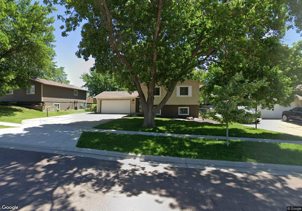
104 Robin Dr Brandon, SD 57005
Estimated Value: $308,460 - $327,000
About This Home
This home is located at 104 Robin Dr, Brandon, SD 57005 and is currently estimated at $317,115, approximately $182 per square foot. 104 Robin Dr is a home located in Minnehaha County with nearby schools including Brandon Elementary School, Brandon Valley Middle School, and Brandon Valley Intermediate School.
Ownership History
We collect this data history from publicly available records. To have your information removed, we recommend requesting removal directly through your county’s website.
Purchase Details
Home Financials for this Owner
Home Financials are based on the most recent Mortgage that was taken out on this home.Home Values in the Area
Average Home Value in this Area
Purchase History
We collect this data history from publicly available records. To have your information removed, we recommend requesting removal directly through your county’s website.
| Date | Buyer | Sale Price | Title Company |
|---|---|---|---|
| $240,000 | Stewart Title Company |
Mortgage History
We collect this data history from publicly available records. To have your information removed, we recommend requesting removal directly through your county’s website.
| Date | Status | Borrower | Loan Amount |
|---|---|---|---|
| Open | $232,800 |
Tax History
We collect this data history from publicly available records. To have your information removed, we recommend requesting removal directly through your county’s website.
| Year | Tax Paid | Tax Assessment Tax Assessment Total Assessment is a certain percentage of the fair market value that is determined by local assessors to be the total taxable value of land and additions on the property. | Land | Improvement |
|---|---|---|---|---|
| 2025 | $2,966 | $216,700 | $31,200 | $185,500 |
| 2024 | $2,966 | $217,000 | $25,800 | $191,200 |
| 2023 | $3,199 | $222,300 | $25,800 | $196,500 |
| 2022 | $3,116 | $204,900 | $25,800 | $179,100 |
| 2021 | $2,457 | $164,900 | $0 | $0 |
| 2020 | $2,457 | $149,800 | $0 | $0 |
| 2019 | $2,501 | $149,639 | $0 | $0 |
| 2018 | $2,288 | $141,676 | $0 | $0 |
| 2017 | $2,129 | $136,520 | $23,088 | $113,432 |
| 2016 | $2,129 | $124,338 | $23,088 | $101,250 |
| 2015 | $2,115 | $118,812 | $21,312 | $97,500 |
| 2014 | -- | $115,062 | $21,312 | $93,750 |
Map
- 201 S Cardinal Dr
- 117 Thad St
- 1212 W Rivulet St St
- 1216 W Rivulet St St
- 300 S 1st Ave
- 412 Meadowlark Cir
- 404 N Sioux Blvd
- 408 N Sioux Blvd
- 412 N Sioux Blvd
- 320 S 2nd Ave
- 605 Main Ave S Ave
- 501 Pasque Flower Trail
- 113 S 5th Ave
- TBD Chestnut Blvd Blvd
- 505 Pasque Flower Trail
- 1200 W Rivulet St St
- 1204 W Rivulet St St
- 1208 W Rivulet St St
- 708 Lakota Ave
- 813 Heatherwood Dr
- 104 S Robin Dr
- 100 Robin Dr
- 100 S Robin Dr
- 108 Robin Dr
- 105 S Cardinal Dr
- 112 Robin Dr
- 101 S Cardinal Dr
- 109 Robin Dr
- 109 S Cardinal Dr
- 113 S Cardinal Dr
- 116 Robin Dr
- 116 S Robin Dr
- 104 Robin Place
- 100 W Fir St
- 100 E Fir St
- 100 E Fir St St
- 100 W Fir St St
- 108 S Cardinal Dr
- 108 Robin Place
- 104 W Fir St
Ask me questions while you tour the home.