104 Rosedale St Cassville, MO 65625
Estimated Value: $177,000 - $210,000
4
Beds
2
Baths
1,344
Sq Ft
$143/Sq Ft
Est. Value
About This Home
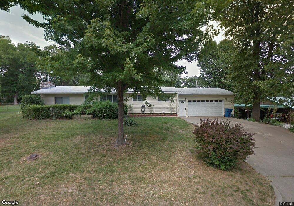
This home is located at 104 Rosedale St, Cassville, MO 65625 and is currently estimated at $192,000, approximately $142 per square foot. 104 Rosedale St is a home with nearby schools including Eunice Thomas Elementary School, Cassville Intermediate School, and Cassville Middle School.
Ownership History
Date
Name
Owned For
Owner Type
Purchase Details
Closed on
Jul 15, 2025
Sold by
Sims Skyler and Sims Bailey
Bought by
Sims Real Estate Llc
Current Estimated Value
Purchase Details
Closed on
Sep 23, 2024
Sold by
Belk Tonya and Belk Jerry
Bought by
Sims Skyler and Sims Bailey
Home Financials for this Owner
Home Financials are based on the most recent Mortgage that was taken out on this home.
Original Mortgage
$107,800
Interest Rate
6.47%
Mortgage Type
New Conventional
Create a Home Valuation Report for This Property
The Home Valuation Report is an in-depth analysis detailing your home's value as well as a comparison with similar homes in the area
Home Values in the Area
Average Home Value in this Area
Purchase History
| Date | Buyer | Sale Price | Title Company |
|---|---|---|---|
| Sims Real Estate Llc | -- | None Listed On Document | |
| Sims Real Estate Llc | -- | None Listed On Document | |
| Sims Skyler | -- | Barry County Abstract & Title |
Source: Public Records
Mortgage History
| Date | Status | Borrower | Loan Amount |
|---|---|---|---|
| Previous Owner | Sims Skyler | $107,800 |
Source: Public Records
Tax History Compared to Growth
Tax History
| Year | Tax Paid | Tax Assessment Tax Assessment Total Assessment is a certain percentage of the fair market value that is determined by local assessors to be the total taxable value of land and additions on the property. | Land | Improvement |
|---|---|---|---|---|
| 2025 | $493 | $11,723 | $1,672 | $10,051 |
| 2024 | $493 | $10,811 | $1,672 | $9,139 |
| 2023 | $493 | $10,811 | $1,672 | $9,139 |
| 2022 | $477 | $10,450 | $1,311 | $9,139 |
| 2021 | $479 | $10,450 | $1,311 | $9,139 |
| 2020 | $479 | $10,450 | $1,311 | $9,139 |
| 2018 | $468 | $10,450 | $1,311 | $9,139 |
| 2017 | $467 | $10,450 | $1,311 | $9,139 |
| 2016 | $450 | $9,956 | $1,121 | $8,835 |
| 2015 | -- | $9,956 | $1,121 | $8,835 |
| 2014 | -- | $9,880 | $1,121 | $8,759 |
| 2012 | -- | $0 | $0 | $0 |
Source: Public Records
Map
Nearby Homes
- 1421 Oakhill Dr
- 000 Luney Dr
- 3110 Main St
- 303 Melton Way
- 1408 Nottingham Dr
- 129 Robinhood Dr
- 1605 N Main St
- 1103 Townsend St
- 000 Townsend West 9th
- 1112 Harold St
- 106 Mountain St
- 000 State Highway 86
- Tbd State Highway 76
- 75 Sycamore Dr
- 34 Sunset St
- 83 Main St
- 1400 Old Exeter Rd
- Lot 4 State Highway 112
- Lot 2 State Highway 112
- Lot 3 State Highway 112