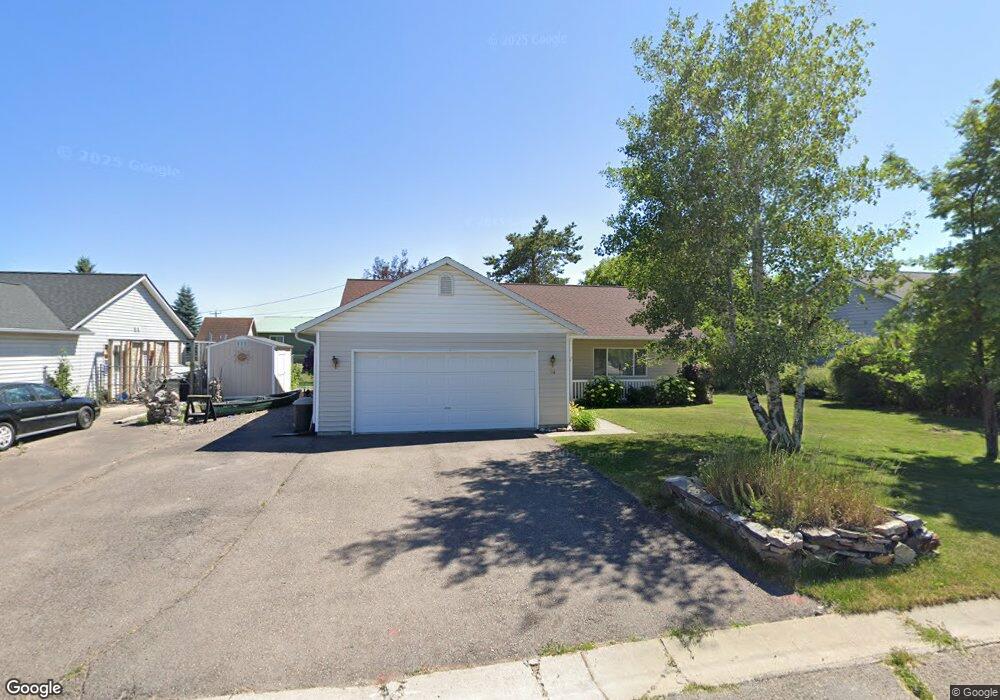
104 Russell Dr Kalispell, MT 59901
Estimated Value: $415,000 - $443,000
3
Beds
2
Baths
1,288
Sq Ft
$332/Sq Ft
Est. Value
About This Home
This home is located at 104 Russell Dr, Kalispell, MT 59901 and is currently estimated at $427,105, approximately $331 per square foot. 104 Russell Dr is a home located in Flathead County with nearby schools including Elrod School, Kalispell Middle School, and Flathead High School.
Ownership History
Date
Name
Owned For
Owner Type
Purchase Details
Closed on
Jul 23, 2007
Sold by
Parsons Gordon E
Bought by
Mclellan Ernest William and Mclellan Karen Jean
Current Estimated Value
Home Financials for this Owner
Home Financials are based on the most recent Mortgage that was taken out on this home.
Original Mortgage
$155,200
Outstanding Balance
$98,164
Interest Rate
6.73%
Mortgage Type
New Conventional
Estimated Equity
$328,941
Create a Home Valuation Report for This Property
The Home Valuation Report is an in-depth analysis detailing your home's value as well as a comparison with similar homes in the area
Purchase History
| Date | Buyer | Sale Price | Title Company |
|---|---|---|---|
| Mclellan Ernest William | -- | Citizens Title And Escrow Co |
Source: Public Records
Mortgage History
| Date | Status | Borrower | Loan Amount |
|---|---|---|---|
| Open | Mclellan Ernest William | $155,200 |
Source: Public Records
Tax History
| Year | Tax Paid | Tax Assessment Tax Assessment Total Assessment is a certain percentage of the fair market value that is determined by local assessors to be the total taxable value of land and additions on the property. | Land | Improvement |
|---|---|---|---|---|
| 2025 | $2,127 | $431,000 | $0 | $0 |
| 2024 | $2,941 | $377,600 | $0 | $0 |
| 2023 | $3,489 | $377,600 | $0 | $0 |
| 2022 | $3,117 | $247,900 | $0 | $0 |
| 2021 | $2,667 | $247,900 | $0 | $0 |
| 2020 | $2,925 | $217,000 | $0 | $0 |
| 2019 | $2,878 | $217,000 | $0 | $0 |
| 2018 | $2,562 | $184,400 | $0 | $0 |
| 2017 | $2,521 | $184,400 | $0 | $0 |
| 2016 | $2,049 | $163,700 | $0 | $0 |
| 2015 | $2,045 | $163,700 | $0 | $0 |
| 2014 | $2,014 | $96,831 | $0 | $0 |
Source: Public Records
Map
Nearby Homes
- 7 Muskrat Dr
- 141 Beargrass Ln
- 1320 Willow Glen Dr
- 600 Leisure Dr
- 2455 Us Highway 93 S
- 305 Kelly Rd Unit F-22
- 305 Kelly Rd Unit F21
- 1340 Willow Glen Dr Unit 23
- 1340 Willow Glen Dr Unit 31
- NHN U S 93 S
- 1690 Bull Run
- 1683 Bull Run
- 1681 Bull Run
- 1705 8th Ave E
- 3943 Lower Valley Rd
- 1545 Lehi Ln
- 1519 Woodland Ave
- 169 Lower Valley Rd Unit 6
- 3953 US Highway 93 S
- 446 Valley Dr
- 100 Russell Dr
- 1220 Willow Glen Dr
- 108 Russell Dr
- 5 Muskrat Dr
- 9 Muskrat Dr
- 10 Muskrat Dr Unit 10
- 6 Muskrat Dr
- 10 Muskrat Dr
- 11 Muskrat Dr
- 8 Muskrat Dr
- 11 Muskrat Dr
- 10 & 12 Muskrat Dr
- 12 Muskrat Dr
- 13 Muskrat Dr
- 111 Russell Dr
- 15 Muskrat Dr
- 15 Muskrat Dr Unit & 17
- 16 Muskrat Dr
- 15 & 17 Muskrat Dr
- 18 Muskrat Dr
Your Personal Tour Guide
Ask me questions while you tour the home.