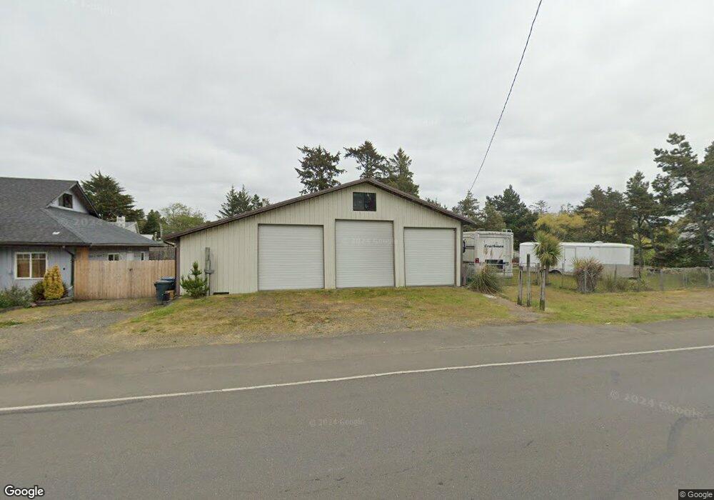
104 S Forrest St Westport, WA 98595
Estimated Value: $112,064 - $403,000
--
Bed
--
Bath
--
Sq Ft
0.33
Acres
About This Home
This home is located at 104 S Forrest St, Westport, WA 98595 and is currently estimated at $234,266. 104 S Forrest St is a home located in Grays Harbor County with nearby schools including Ocosta Elementary School and Ocosta Junior/Senior High School.
Ownership History
Date
Name
Owned For
Owner Type
Purchase Details
Closed on
Nov 15, 2021
Sold by
Allen Baker Jimmie and Allen Celeste Kay
Bought by
Baker Family Living Trust
Current Estimated Value
Purchase Details
Closed on
Aug 4, 2020
Sold by
Harrison William B and Harrison John S
Bought by
Harrison William B and Harrison Kay C
Home Financials for this Owner
Home Financials are based on the most recent Mortgage that was taken out on this home.
Original Mortgage
$150,000
Interest Rate
2.9%
Mortgage Type
New Conventional
Purchase Details
Closed on
Nov 2, 2017
Sold by
Harrison John S
Bought by
Harrison William B and Harrison John
Purchase Details
Closed on
Apr 10, 2015
Sold by
Harrison John S
Bought by
Harrison Dorothy P
Create a Home Valuation Report for This Property
The Home Valuation Report is an in-depth analysis detailing your home's value as well as a comparison with similar homes in the area
Home Values in the Area
Average Home Value in this Area
Purchase History
| Date | Buyer | Sale Price | Title Company |
|---|---|---|---|
| Baker Family Living Trust | -- | None Listed On Document | |
| Harrison William B | $300,000 | Grays Harbor Title | |
| Harrison William B | -- | None Available | |
| Harrison William B | -- | None Available | |
| Harrison Dorothy P | -- | None Available |
Source: Public Records
Mortgage History
| Date | Status | Borrower | Loan Amount |
|---|---|---|---|
| Previous Owner | Harrison William B | $150,000 |
Source: Public Records
Tax History Compared to Growth
Tax History
| Year | Tax Paid | Tax Assessment Tax Assessment Total Assessment is a certain percentage of the fair market value that is determined by local assessors to be the total taxable value of land and additions on the property. | Land | Improvement |
|---|---|---|---|---|
| 2025 | $621 | $72,996 | $68,096 | $4,900 |
| 2023 | $653 | $72,996 | $68,096 | $4,900 |
| 2022 | $469 | $40,740 | $35,840 | $4,900 |
| 2021 | $513 | $40,740 | $35,840 | $4,900 |
| 2020 | $509 | $40,740 | $35,840 | $4,900 |
| 2019 | $496 | $38,707 | $38,707 | $0 |
| 2018 | $476 | $38,707 | $38,707 | $0 |
| 2017 | $435 | $33,178 | $33,178 | $0 |
| 2016 | $510 | $36,864 | $36,864 | $0 |
| 2014 | -- | $40,960 | $40,960 | $0 |
| 2013 | -- | $51,200 | $51,200 | $0 |
Source: Public Records
Map
Nearby Homes
- 201 S Hoquiam St
- 0 N Forrest St Unit NWM2417282
- 0 Olympia St Unit NWM2367648
- 331 N Melbourne St
- 280 S Surf St
- 507 W Veterans Ave
- 603 W Veterans Ave
- 401 S Starr St
- 608 S Forrest St
- 200 E Harms Dr
- 703 S Broadway
- 710 S Hancock Ave Unit 419+
- 710 S Hancock Ave Unit 328
- 710 S Hancock Ave Unit 102&3
- 710 S Hancock Ave Unit 111
- 710 S Hancock Ave Unit 301
- 710 S Hancock Ave Unit 308
- 0 Surf St Unit NWM2408053
- 500 Starr St
- 0 XX Starr St
- 102 S Forrest St
- 613 W Ocean Ave
- 611 W Ocean Ave
- 0 State Route 105 Spur Unit 1325146
- 0 S Forrest St Unit 762602
- 0 S Forrest St Unit 850409
- 0 105 Hwy Unit 776853
- 0 S Forrest St Unit 464452
- 0 State Route 105 Spur Unit 464450
- 0 State Route 105 Spur Unit 651333
- 0 Hwy 105 Unit 758562
- 0 State Route 105 Spur Unit 1043225
- 0 105 Hwy Unit 1047358
- 0 S Forrest St Unit 951221
- 0 S St Rt 105 Unit 73167
- 0 105 Hwy Unit 29131666
- 0 S Forrest St Unit 28193282
- 0 S Forrest St Unit 29051260
- 0 105 Hwy Unit 1219418
- 0 S Forrest St Unit NWM2374028