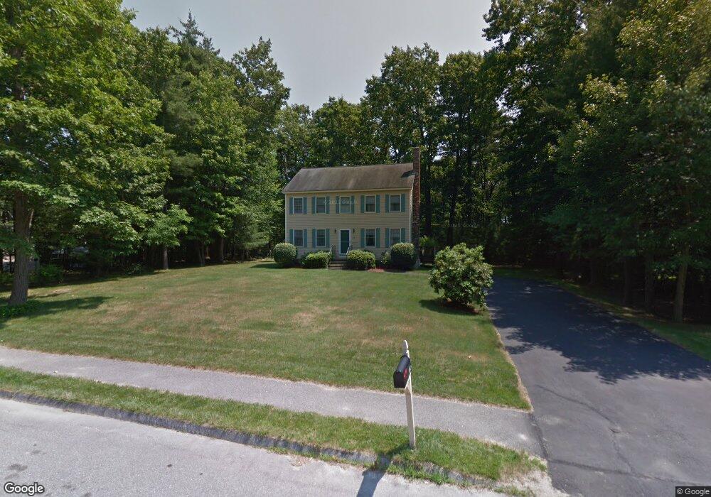
104 Sequoia Dr Tyngsboro, MA 01879
Estimated Value: $696,406 - $860,000
3
Beds
2
Baths
2,400
Sq Ft
$324/Sq Ft
Est. Value
About This Home
This home is located at 104 Sequoia Dr, Tyngsboro, MA 01879 and is currently estimated at $777,102, approximately $323 per square foot. 104 Sequoia Dr is a home located in Middlesex County with nearby schools including Tyngsborough Elementary School, Tyngsborough Middle School, and Tyngsborough High School.
Ownership History
Date
Name
Owned For
Owner Type
Purchase Details
Closed on
Jun 11, 1996
Sold by
Sequoia Drive Dev Corp
Bought by
Garavanian Eileen
Current Estimated Value
Home Financials for this Owner
Home Financials are based on the most recent Mortgage that was taken out on this home.
Original Mortgage
$140,300
Interest Rate
7.89%
Mortgage Type
Purchase Money Mortgage
Create a Home Valuation Report for This Property
The Home Valuation Report is an in-depth analysis detailing your home's value as well as a comparison with similar homes in the area
Home Values in the Area
Average Home Value in this Area
Purchase History
| Date | Buyer | Sale Price | Title Company |
|---|---|---|---|
| Garavanian Eileen | $175,400 | -- |
Source: Public Records
Mortgage History
| Date | Status | Borrower | Loan Amount |
|---|---|---|---|
| Open | Garavanian Eileen | $135,400 | |
| Closed | Garavanian Eileen | $144,000 | |
| Closed | Garavanian Eileen | $140,300 | |
| Previous Owner | Garavanian Eileen | $130,000 |
Source: Public Records
Tax History Compared to Growth
Tax History
| Year | Tax Paid | Tax Assessment Tax Assessment Total Assessment is a certain percentage of the fair market value that is determined by local assessors to be the total taxable value of land and additions on the property. | Land | Improvement |
|---|---|---|---|---|
| 2025 | $76 | $614,200 | $255,800 | $358,400 |
| 2024 | $7,633 | $600,100 | $249,500 | $350,600 |
| 2023 | $7,214 | $510,200 | $207,500 | $302,700 |
| 2022 | $6,893 | $461,400 | $180,300 | $281,100 |
| 2021 | $6,729 | $418,700 | $163,500 | $255,200 |
| 2020 | $6,637 | $408,400 | $155,100 | $253,300 |
| 2019 | $6,376 | $376,600 | $146,700 | $229,900 |
| 2018 | $6,291 | $367,700 | $146,700 | $221,000 |
| 2017 | $6,083 | $354,500 | $146,700 | $207,800 |
| 2016 | $5,702 | $324,700 | $146,700 | $178,000 |
| 2015 | $5,437 | $320,600 | $142,600 | $178,000 |
Source: Public Records
Map
Nearby Homes
- 17 Juniper Ln Unit 17
- 20 Juniper Ln Unit 67
- 22 Juniper Ln Unit 66
- 26 Juniper Ln Unit 64
- 28 Juniper Ln Unit 65
- 11 Juniper Ln Unit 14
- 32 Juniper Ln Unit 61
- 43 Juniper Ln Unit 30
- 30 Tamarack Way Unit 30
- 1 Patricia Dr
- 109 Sherburne Ave
- 111 Sherburne Ave
- 123 Sherburne Ave
- 54 Mascuppic Trail
- 75 Frost Rd
- 46 Pawtucket Blvd Unit 37
- 56 Frost Rd
- 24 Old Tyng Rd
- 1 Elm Grove Ave
- 9 Bay State Rd