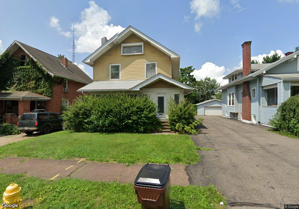
104 Sherman Ave Mansfield, OH 44906
Estimated Value: $107,000 - $140,000
3
Beds
2
Baths
2,076
Sq Ft
$60/Sq Ft
Est. Value
About This Home
This home is located at 104 Sherman Ave, Mansfield, OH 44906 and is currently estimated at $125,264, approximately $60 per square foot. 104 Sherman Ave is a home located in Richland County with nearby schools including Goal Digital Academy, St. Peter's High School/Junior High, and St. Peter's Elementary/Montessori School.
Ownership History
Date
Name
Owned For
Owner Type
Purchase Details
Closed on
Dec 14, 2021
Sold by
Reid Timothy C
Bought by
Jrm Properties Of Mansfield Llc
Current Estimated Value
Home Financials for this Owner
Home Financials are based on the most recent Mortgage that was taken out on this home.
Original Mortgage
$55,000
Outstanding Balance
$50,579
Interest Rate
3.1%
Mortgage Type
Purchase Money Mortgage
Estimated Equity
$74,685
Create a Home Valuation Report for This Property
The Home Valuation Report is an in-depth analysis detailing your home's value as well as a comparison with similar homes in the area
Home Values in the Area
Average Home Value in this Area
Purchase History
| Date | Buyer | Sale Price | Title Company |
|---|---|---|---|
| Jrm Properties Of Mansfield Llc | $55,000 | Southern Title | |
| Jrm Properties Of Mansfield Llc | $220 | Southern Title |
Source: Public Records
Mortgage History
| Date | Status | Borrower | Loan Amount |
|---|---|---|---|
| Open | Jrm Properties Of Mansfield Llc | $55,000 | |
| Closed | Jrm Properties Of Mansfield Llc | $55,000 |
Source: Public Records
Tax History Compared to Growth
Tax History
| Year | Tax Paid | Tax Assessment Tax Assessment Total Assessment is a certain percentage of the fair market value that is determined by local assessors to be the total taxable value of land and additions on the property. | Land | Improvement |
|---|---|---|---|---|
| 2024 | $1,735 | $36,230 | $5,340 | $30,890 |
| 2023 | $1,735 | $36,230 | $5,340 | $30,890 |
| 2022 | $1,460 | $25,560 | $4,330 | $21,230 |
| 2021 | $1,438 | $25,560 | $4,330 | $21,230 |
| 2020 | $1,470 | $25,560 | $4,330 | $21,230 |
| 2019 | $1,630 | $25,560 | $4,330 | $21,230 |
| 2018 | $1,607 | $25,560 | $4,330 | $21,230 |
| 2017 | $1,564 | $25,560 | $4,330 | $21,230 |
| 2016 | $1,538 | $24,370 | $4,610 | $19,760 |
| 2015 | $1,469 | $24,370 | $4,610 | $19,760 |
| 2014 | $1,450 | $24,370 | $4,610 | $19,760 |
| 2012 | $1,105 | $24,370 | $4,850 | $19,520 |
Source: Public Records
Map
Nearby Homes
- 88 Sherman Ave
- 76 Bartley Ave
- 126 Dawson Ave
- 38 Baldwin Ave
- 37 Baldwin Ave
- 114 Vennum Ave
- 71 Glenwood Blvd
- 24 Stewart Ave S
- 118 Lind Ave
- 21 Glenwood Blvd
- 41 Parkwood Blvd
- 118 Parkwood Blvd
- 80 Rowland Ave
- 96 Helen Ave
- 470 Woodward Ave
- 406 Sherman Place
- 120 Gettings Place
- 135 Wood St
- 132 Sycamore St
- 257 Wood St
- 106 Sherman Ave
- 102 Sherman Ave
- 112 Sherman Ave
- 116 Sherman Ave
- 99 Dawson Ave
- 103 Dawson Ave
- 97 Dawson Ave
- 109 Dawson Ave
- 120 Sherman Ave
- 93 Dawson Ave
- 107 Sherman Ave
- 115 Dawson Ave
- 111 Sherman Ave
- 89 Dawson Ave
- 117 Dawson Ave
- 126 Sherman Ave
- 105 Sherman Ave
- 80 Sherman Ave
- 99 Sherman Ave
- 119 Dawson Ave Unit 121