104 Sprouse Ln Grover, NC 28073
Estimated Value: $88,359 - $233,000
--
Bed
--
Bath
--
Sq Ft
3.61
Acres
About This Home
This home is located at 104 Sprouse Ln, Grover, NC 28073 and is currently estimated at $164,090. 104 Sprouse Ln is a home with nearby schools including Grover Elementary School, Kings Mountain Middle, and Kings Mountain Intermediate School.
Ownership History
Date
Name
Owned For
Owner Type
Purchase Details
Closed on
Jan 29, 2025
Sold by
Sellers Donald and Sellers Rhonda Cheryl
Bought by
Sellers Donald and Sellers Rhonda Cheryl
Current Estimated Value
Purchase Details
Closed on
Mar 26, 2024
Sold by
Sellers Justin Tray and Sellers Tray Justin
Bought by
Sellers Justin Tray and Sigmon Sellers Connor
Home Financials for this Owner
Home Financials are based on the most recent Mortgage that was taken out on this home.
Original Mortgage
$288,800
Interest Rate
6.64%
Mortgage Type
Construction
Purchase Details
Closed on
Dec 28, 2023
Sold by
Sellers Donald and Sellers Rhonda C
Bought by
Sellers Tray Justin and Sigmon Sellers Connor
Create a Home Valuation Report for This Property
The Home Valuation Report is an in-depth analysis detailing your home's value as well as a comparison with similar homes in the area
Home Values in the Area
Average Home Value in this Area
Purchase History
| Date | Buyer | Sale Price | Title Company |
|---|---|---|---|
| Sellers Donald | -- | None Listed On Document | |
| Sellers Donald | -- | None Listed On Document | |
| Sellers Justin Tray | -- | None Listed On Document | |
| Sellers Tray Justin | -- | None Listed On Document |
Source: Public Records
Mortgage History
| Date | Status | Borrower | Loan Amount |
|---|---|---|---|
| Previous Owner | Sellers Justin Tray | $288,800 |
Source: Public Records
Tax History Compared to Growth
Tax History
| Year | Tax Paid | Tax Assessment Tax Assessment Total Assessment is a certain percentage of the fair market value that is determined by local assessors to be the total taxable value of land and additions on the property. | Land | Improvement |
|---|---|---|---|---|
| 2025 | $179 | $28,258 | $27,278 | $980 |
| 2024 | $173 | $21,712 | $20,622 | $1,090 |
| 2023 | $307 | $38,595 | $38,595 | $0 |
| 2022 | $305 | $38,595 | $38,595 | $0 |
| 2021 | $307 | $38,595 | $38,595 | $0 |
| 2020 | $293 | $35,441 | $35,441 | $0 |
| 2019 | $293 | $35,441 | $35,441 | $0 |
| 2018 | $293 | $35,441 | $35,441 | $0 |
| 2017 | $292 | $35,441 | $35,441 | $0 |
| 2016 | $280 | $35,441 | $35,441 | $0 |
| 2015 | $237 | $30,035 | $30,035 | $0 |
| 2014 | $237 | $30,035 | $30,035 | $0 |
Source: Public Records
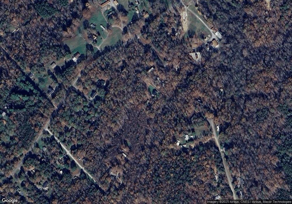
Map
Nearby Homes
- 210 Roy Bell Rd
- 132 Hicks Rd Unit 1
- 101 Melvin Ct
- 131 Sam Smith Dr
- 111 Hicks Rd Unit 9
- 203 Bethlehem Church Rd
- 00 Bethlehem Church Rd
- 764 S Battleground Ave
- 716 Mcdaniel Rd
- 811 Cleveland Ave
- 105 Elm Rd
- 907 Bethlehem Rd
- 117 Remington Dr
- 813 Bethlehem Rd
- 802 Bethlehem Rd Unit 5
- 308 M H Camp Hwy
- 303 Hardin Cir
- 101 Park Ln
- 114 Brenda Ct
- 107 Tara Terrace
- 107 Sprouse Ln
- 106 Sprouse Ln
- 1023 Bethlehem Church Rd
- 148 Springwood Rd Unit 26 & 31
- 148 Springwood Rd Unit 31
- 108 Sprouse Ln
- 146 Springwood Rd
- 109 Sprouse Ln
- 150 Springwood Rd
- 1027 Bethlehem Church Rd
- 1033 Bethlehem Church Rd
- 1029 Bethlehem Church Rd
- 144 Springwood Rd
- 1006 Bethlehem Church Rd
- 1012 Bethlehem Church Rd
- 1012 Bethlehem Church Rd
- 1016 Bethlehem Church Rd
- 1035 Bethlehem Church Rd
- 151 Springwood Rd
- 1041 Bethlehem Church Rd