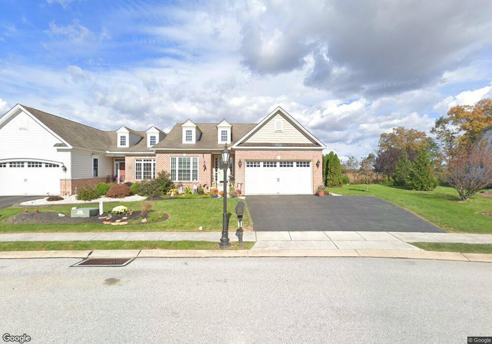
104 St Michaels Way Unit 10 Hanover, PA 17331
Estimated Value: $414,000 - $469,000
3
Beds
3
Baths
2,132
Sq Ft
$210/Sq Ft
Est. Value
About This Home
This home is located at 104 St Michaels Way Unit 10, Hanover, PA 17331 and is currently estimated at $447,244, approximately $209 per square foot. 104 St Michaels Way Unit 10 is a home located in Adams County with nearby schools including New Oxford Senior High School and Hanover Mennonite School.
Ownership History
Date
Name
Owned For
Owner Type
Purchase Details
Closed on
Aug 5, 2020
Sold by
Riggie Wanda M and Riggie Ellen M
Bought by
Hartlaub Beulah M
Current Estimated Value
Purchase Details
Closed on
Jul 25, 2008
Sold by
Harvest Investment Group Llc
Bought by
Riggie Wanda M and Riggie Ellen M
Home Financials for this Owner
Home Financials are based on the most recent Mortgage that was taken out on this home.
Original Mortgage
$301,933
Interest Rate
6.4%
Mortgage Type
New Conventional
Create a Home Valuation Report for This Property
The Home Valuation Report is an in-depth analysis detailing your home's value as well as a comparison with similar homes in the area
Home Values in the Area
Average Home Value in this Area
Purchase History
| Date | Buyer | Sale Price | Title Company |
|---|---|---|---|
| Hartlaub Beulah M | $339,900 | None Available | |
| Riggie Wanda M | $317,825 | -- |
Source: Public Records
Mortgage History
| Date | Status | Borrower | Loan Amount |
|---|---|---|---|
| Previous Owner | Riggie Wanda M | $301,933 |
Source: Public Records
Tax History Compared to Growth
Tax History
| Year | Tax Paid | Tax Assessment Tax Assessment Total Assessment is a certain percentage of the fair market value that is determined by local assessors to be the total taxable value of land and additions on the property. | Land | Improvement |
|---|---|---|---|---|
| 2025 | $8,116 | $338,900 | $57,500 | $281,400 |
| 2024 | $7,496 | $338,900 | $57,500 | $281,400 |
| 2023 | $7,219 | $338,900 | $57,500 | $281,400 |
| 2022 | $6,998 | $338,900 | $57,500 | $281,400 |
| 2021 | $6,819 | $338,900 | $57,500 | $281,400 |
| 2020 | $6,829 | $338,900 | $57,500 | $281,400 |
| 2019 | $6,522 | $338,900 | $57,500 | $281,400 |
| 2018 | $6,385 | $338,900 | $57,500 | $281,400 |
| 2017 | $6,122 | $338,900 | $57,500 | $281,400 |
| 2016 | -- | $317,900 | $57,500 | $260,400 |
| 2015 | -- | $317,900 | $57,500 | $260,400 |
| 2014 | -- | $317,900 | $57,500 | $260,400 |
Source: Public Records
Map
Nearby Homes
- 152 St Michaels Way Unit 18
- 124 Flint Dr Unit 61
- 105 Flint Dr
- 111 Eagle Ln Unit 7
- 108 Flint Dr
- 3211 Centennial Rd
- 5955 Hanover Rd
- 73 Flint Dr
- 11 Flint Dr
- 24 Red Stone Ln Unit 47
- 62 Flint Dr
- 54 Flint Dr
- 11 Shawl Dr
- 46 Flint Dr
- 84 Red Stone Ln Unit 41
- 92 Red Stone Ln Unit 40
- 9 Westview Dr Unit 2A
- 1 Sease Dr Unit 1
- 49 North St
- 128 North St
- 104 Saint Michaels Way
- 98 St Michaels Way Unit 9
- 0 Saint Michaels Way Unit AD7924720
- 0 Saint Michaels Way Unit AD7904309
- 0 Saint Michaels Way Unit 1009685066
- 0 Saint Michaels Way Unit 1009663738
- 0 Saint Michaels Way Unit 1009663608
- 0 Saint Michaels Way Unit 1009663402
- 110 St Michaels Way Unit 11
- 116 St Michaels Way Unit 12
- 116 Saint Michaels Way
- 92 St Michaels Way Unit 8
- 95 St Michaels Way Unit 38
- 0 Saint Michaels Way Unit AD7904274
- 115 St Michaels Way Unit 39
- 95 Saint Michaels Way
- 121 St Michaels Way Unit 40
- 115 Saint Michaels Way
- 122 St Michaels Way Unit 13
- 86 Saint Michaels Way