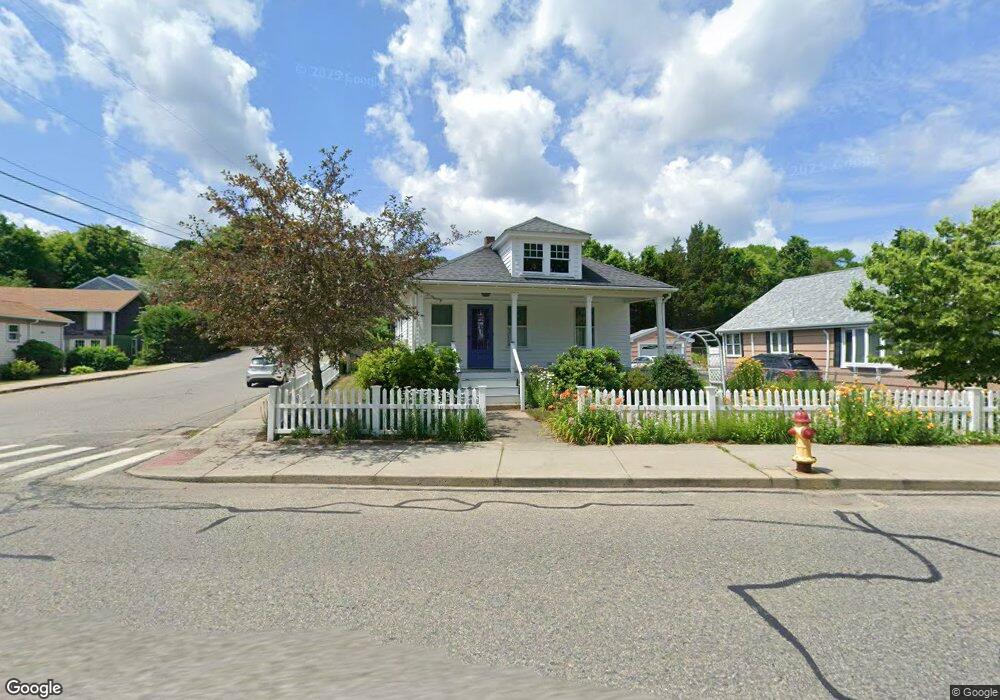
104 Standish Ave Plymouth, MA 02360
Plymouth Center NeighborhoodEstimated Value: $466,000 - $514,000
2
Beds
1
Bath
950
Sq Ft
$511/Sq Ft
Est. Value
About This Home
This home is located at 104 Standish Ave, Plymouth, MA 02360 and is currently estimated at $485,393, approximately $510 per square foot. 104 Standish Ave is a home located in Plymouth County with nearby schools including Cold Spring, Plymouth Community Intermediate, and Plymouth North High School.
Ownership History
Date
Name
Owned For
Owner Type
Purchase Details
Closed on
Oct 16, 2007
Sold by
Washington Mutual Bk
Bought by
Eldridge Debra J
Current Estimated Value
Purchase Details
Closed on
Oct 11, 2007
Sold by
Farren N Jayne N and Farren John R
Bought by
Washington Mutual Bk
Purchase Details
Closed on
Jul 21, 2004
Sold by
Forrest Abigail R
Bought by
Farren John R and Jayne Farren N
Purchase Details
Closed on
Nov 26, 2002
Sold by
Savoy Dorothy A
Bought by
Forrest Abigail R
Create a Home Valuation Report for This Property
The Home Valuation Report is an in-depth analysis detailing your home's value as well as a comparison with similar homes in the area
Home Values in the Area
Average Home Value in this Area
Purchase History
| Date | Buyer | Sale Price | Title Company |
|---|---|---|---|
| Eldridge Debra J | $251,000 | -- | |
| Washington Mutual Bk | $248,000 | -- | |
| Farren John R | $305,910 | -- | |
| Forrest Abigail R | $209,900 | -- |
Source: Public Records
Tax History Compared to Growth
Tax History
| Year | Tax Paid | Tax Assessment Tax Assessment Total Assessment is a certain percentage of the fair market value that is determined by local assessors to be the total taxable value of land and additions on the property. | Land | Improvement |
|---|---|---|---|---|
| 2025 | $5,195 | $409,400 | $226,100 | $183,300 |
| 2024 | $4,970 | $386,200 | $215,000 | $171,200 |
| 2023 | $4,941 | $360,400 | $189,200 | $171,200 |
| 2022 | $4,782 | $309,900 | $180,600 | $129,300 |
| 2021 | $4,665 | $288,700 | $176,300 | $112,400 |
| 2020 | $4,650 | $284,400 | $172,000 | $112,400 |
| 2019 | $4,135 | $250,000 | $137,600 | $112,400 |
| 2018 | $4,044 | $245,700 | $133,300 | $112,400 |
| 2017 | $3,918 | $236,300 | $133,300 | $103,000 |
| 2016 | $3,775 | $232,000 | $129,000 | $103,000 |
| 2015 | $3,534 | $227,400 | $123,800 | $103,600 |
| 2014 | $3,395 | $224,400 | $123,800 | $100,600 |
Source: Public Records
Map
Nearby Homes
- 211 Court St
- 52 Liberty St Unit L3
- 52 Liberty St Unit C5
- 134 Court St Unit 6
- 134 Court St Unit 9
- 134 Court St Unit 12
- 291 Court St
- 60 Robbins Rd Unit 25
- 216 Water St Unit B306
- 216 Water St Unit 101B
- 15 Caswell Ln Unit 6
- 63 Cherry St
- 100 Court St
- 76 Court St Unit 4
- 76 Court St Unit 6
- 24 1/2 Allerton St
- 68 Court St
- 4 S Spooner St Unit 6
- 4 S Spooner St Unit 7
- 4 S Spooner St Unit 8
- 106 Standish Ave
- 1 Cotton St
- 102 Standish Ave
- 108 Standish Ave
- 110 Standish Ave
- 100 Standish Ave
- 6 Cotton St
- 95 Standish Ave
- 97 Standish Ave
- 7 Cotton St
- 96 Standish Ave
- 93 Standish Ave
- 2 Clark St
- 54 Olmstead Terrace
- 54 Olmstead Terrace Unit 54
- 54 Olmstead Terrace Unit 2
- 20 Braunecker Rd
- 4 Clark St
- 4 Clark St
- 51 Olmsted Terrace