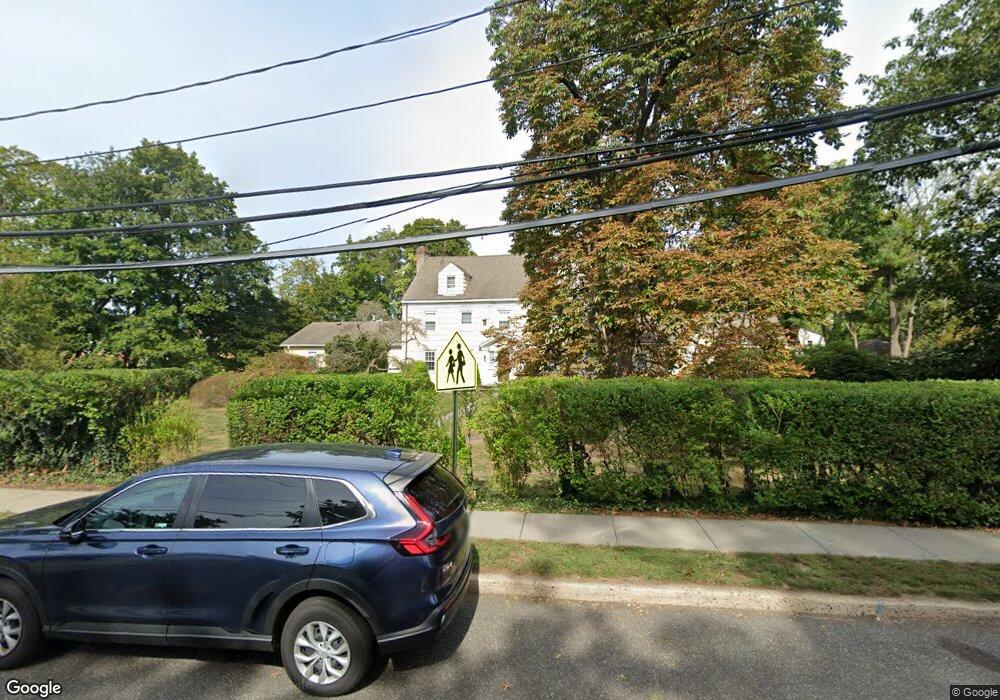
104 W Main St Oyster Bay, NY 11771
Oyster Bay NeighborhoodEstimated Value: $1,080,000 - $1,530,658
4
Beds
5
Baths
5,000
Sq Ft
$261/Sq Ft
Est. Value
About This Home
This home is located at 104 W Main St, Oyster Bay, NY 11771 and is currently estimated at $1,305,329, approximately $261 per square foot. 104 W Main St is a home located in Nassau County with nearby schools including Theodore Roosevelt Elementary School, James H. Vernon School, and Oyster Bay High School.
Ownership History
Date
Name
Owned For
Owner Type
Purchase Details
Closed on
Aug 10, 2018
Sold by
76 South St Corp
Bought by
Finn Siracusa Helen
Current Estimated Value
Home Financials for this Owner
Home Financials are based on the most recent Mortgage that was taken out on this home.
Original Mortgage
$600,000
Outstanding Balance
$510,689
Interest Rate
3.63%
Mortgage Type
New Conventional
Estimated Equity
$794,640
Purchase Details
Closed on
Mar 16, 1995
Sold by
North Shore University Hospita L Foundation
Bought by
76 South St Corp
Create a Home Valuation Report for This Property
The Home Valuation Report is an in-depth analysis detailing your home's value as well as a comparison with similar homes in the area
Home Values in the Area
Average Home Value in this Area
Purchase History
| Date | Buyer | Sale Price | Title Company |
|---|---|---|---|
| Finn Siracusa Helen | $750,000 | None Available | |
| 76 South St Corp | $225,000 | -- | |
| 76 South St Corp | $225,000 | -- |
Source: Public Records
Mortgage History
| Date | Status | Borrower | Loan Amount |
|---|---|---|---|
| Open | Finn Siracusa Helen | $600,000 |
Source: Public Records
Tax History Compared to Growth
Tax History
| Year | Tax Paid | Tax Assessment Tax Assessment Total Assessment is a certain percentage of the fair market value that is determined by local assessors to be the total taxable value of land and additions on the property. | Land | Improvement |
|---|---|---|---|---|
| 2025 | $17,186 | $747 | $661 | $86 |
| 2024 | $6,891 | $747 | $661 | $86 |
| 2023 | $12,589 | $747 | $661 | $86 |
| 2022 | $12,589 | $853 | $755 | $98 |
| 2021 | $13,167 | $750 | $446 | $304 |
| 2020 | $10,126 | $1,681 | $797 | $884 |
| 2019 | $10,940 | $1,681 | $797 | $884 |
| 2018 | $11,293 | $1,681 | $0 | $0 |
| 2017 | $10,315 | $1,681 | $797 | $884 |
| 2016 | $20,133 | $1,681 | $783 | $898 |
| 2015 | $8,654 | $1,681 | $783 | $898 |
| 2014 | $8,654 | $1,681 | $783 | $898 |
| 2013 | $8,194 | $1,710 | $797 | $913 |
Source: Public Records
Map
Nearby Homes
- 188 W Main St
- 5 Anchorage Ln Unit 4A
- 6 Anchorage Ln Unit 5A
- 15 Bayside Ave
- 10 Harbour Ln Unit 5A
- 11 Harbour Ln Unit 1A
- 27 Locust Ln
- 7 Harbour Ln Unit 5B
- 501 Rd
- 200 Lexington Ave Unit 12H
- 291 South St
- 175 Ivy St
- 171 School St
- 50 Ships Point Ln
- 1A Agnes St
- 68 McCouns Ln
- 19 Sideview Dr
- 17 Singworth St
- 40 W View Dr
- 530 S Centre Island Rd
- 116 W Main St
- 78 Maxwell Ave
- 95 Maxwell Ave
- 91 Maxwell Ave
- 72 Maxwell Ave
- 72 Maxwell Ave Unit 2
- 87 Maxwell Ave
- 87 Maxwell Ave Unit 1st Fl
- 85 Maxwell Ave
- 85 Maxwell Ave Unit Up
- 83 Maxwell Ave
- 128 W Main St
- 79 Maxwell Ave
- 70 Maxwell Ave
- 68 Maxwell Ave
- 68 Maxwell Ave Unit 2FL
- 68 Maxwell Ave Unit 1FL
- 120 W Main St
- 124 W Main St
- 75 Maxwell Ave