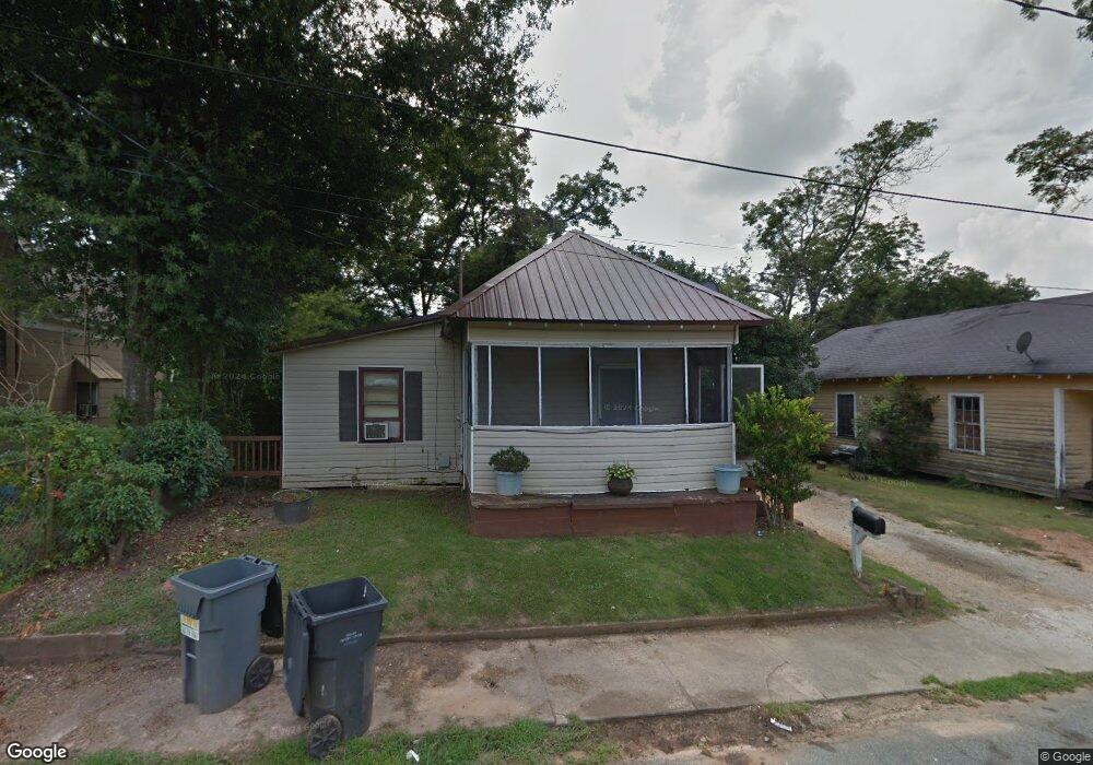
104 W Richland Cir Greensboro, GA 30642
Estimated Value: $102,000 - $153,897
3
Beds
1
Bath
1,066
Sq Ft
$128/Sq Ft
Est. Value
About This Home
This home is located at 104 W Richland Cir, Greensboro, GA 30642 and is currently estimated at $136,474, approximately $128 per square foot. 104 W Richland Cir is a home located in Greene County with nearby schools including Greene County High School.
Ownership History
Date
Name
Owned For
Owner Type
Purchase Details
Closed on
Aug 17, 2013
Sold by
Evins Annie
Bought by
Terrell Gary
Current Estimated Value
Purchase Details
Closed on
Mar 13, 2013
Sold by
Miller Mamie
Bought by
Evins Annie and Terrell Betty
Purchase Details
Closed on
Jan 1, 1984
Sold by
Williams Willie
Bought by
Miller Mamie
Purchase Details
Closed on
Jan 1, 1960
Sold by
Farmers Home Admn
Bought by
Williams Willie
Create a Home Valuation Report for This Property
The Home Valuation Report is an in-depth analysis detailing your home's value as well as a comparison with similar homes in the area
Home Values in the Area
Average Home Value in this Area
Purchase History
| Date | Buyer | Sale Price | Title Company |
|---|---|---|---|
| Terrell Gary | -- | -- | |
| Evins Annie | $41,613 | -- | |
| Miller Mamie | -- | -- | |
| Williams Willie | -- | -- |
Source: Public Records
Tax History Compared to Growth
Tax History
| Year | Tax Paid | Tax Assessment Tax Assessment Total Assessment is a certain percentage of the fair market value that is determined by local assessors to be the total taxable value of land and additions on the property. | Land | Improvement |
|---|---|---|---|---|
| 2024 | $925 | $33,160 | $5,600 | $27,560 |
| 2023 | $705 | $31,000 | $5,600 | $25,400 |
| 2022 | $615 | $25,760 | $2,800 | $22,960 |
| 2021 | $589 | $23,080 | $2,800 | $20,280 |
| 2020 | $480 | $15,680 | $3,040 | $12,640 |
| 2019 | $494 | $15,680 | $3,040 | $12,640 |
| 2018 | $472 | $15,680 | $3,040 | $12,640 |
| 2017 | $451 | $15,723 | $3,060 | $12,663 |
| 2016 | $462 | $16,262 | $3,060 | $13,202 |
| 2015 | $430 | $16,261 | $3,060 | $13,202 |
| 2014 | $436 | $16,151 | $3,060 | $13,091 |
Source: Public Records
Map
Nearby Homes
- 0 Maple Cir
- 301 N East St
- 314 W South St
- 208 W South St
- 15 South St Unit Siloam Road
- 1020 Horton Dr
- 1061 Grimes St
- 0 Railroad St Unit 218854
- 0 Railroad St Unit 10578007
- 0 Railroad St Unit 531919
- 504 Martin Luther King Junior Dr
- 0 Canaan St
- 805 S West St
- 1531 E Broad St
- 109 Reynolds Dr
- 105 Wilson St
- 1060 Twin Pines Cir
- 1131 Planing Mill Rd
- 1141 Planing Mill Rd
- 1141 Armour Cir
- 103 W Richland Cir
- 118 Richland Cir
- 108 W Richland Cir
- 1511 Richland Point
- 314 W Richland Ave
- 312 W Richland Ave
- 116 W Richland Cir
- 404 W Richland Ave
- 113 Richland Heights
- 1221 N Laurel Ave
- 110 W Richland Cir
- 112 Richland Heights
- 310 W Richland Ave
- 406 W Richland Ave
- 114 Richland Heights
- 401 W Richland Ave
- 0 W Richland Ave Unit 7210780
- 403 W Richland Ave
- 308 W Richland Ave
- 408 W Richland Ave