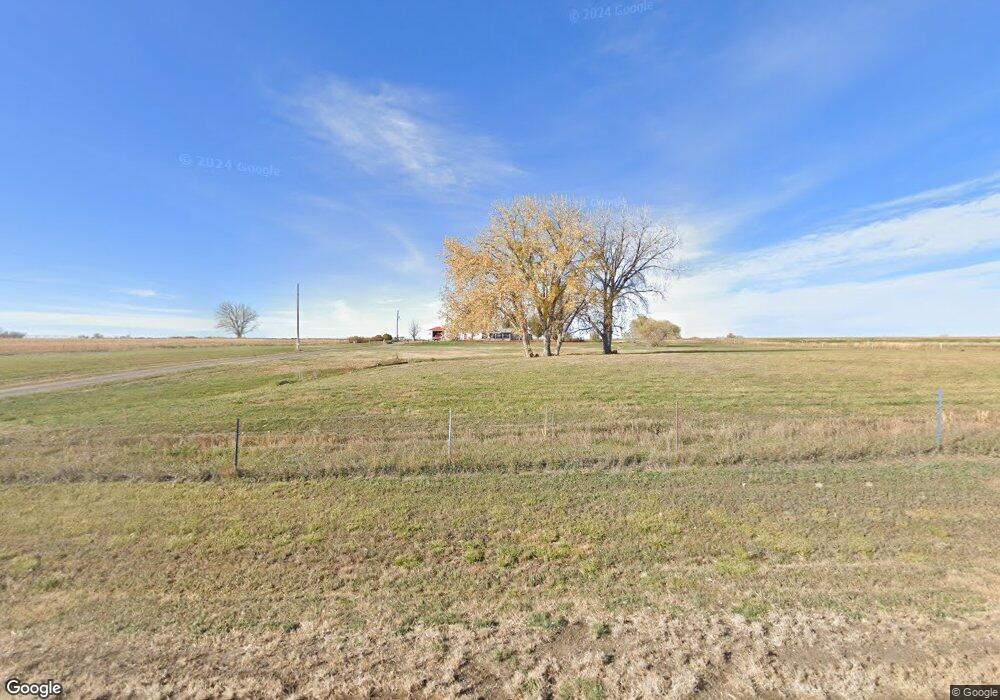
104 W River Rd Worland, WY 82401
Estimated Value: $488,000
3
Beds
2
Baths
1,920
Sq Ft
$254/Sq Ft
Est. Value
About This Home
This home is located at 104 W River Rd, Worland, WY 82401 and is currently estimated at $488,000, approximately $254 per square foot. 104 W River Rd is a home located in Washakie County with nearby schools including West Side Elementary School, East Side Elementary School, and South Side Elementary School.
Ownership History
Date
Name
Owned For
Owner Type
Purchase Details
Closed on
Dec 3, 2020
Sold by
Dale And Nancy Link Irrevocable Trust
Bought by
Link Dale D and Link Nancy A
Current Estimated Value
Purchase Details
Closed on
Aug 26, 2020
Sold by
Link Dale D and Link Nancy A
Bought by
Dale And Nancy Link Revocable Trust
Purchase Details
Closed on
Mar 9, 2020
Sold by
Dale And Nancy Link Irrevocable Trust
Bought by
Link Dale D and Link Nancy A
Create a Home Valuation Report for This Property
The Home Valuation Report is an in-depth analysis detailing your home's value as well as a comparison with similar homes in the area
Home Values in the Area
Average Home Value in this Area
Purchase History
| Date | Buyer | Sale Price | Title Company |
|---|---|---|---|
| Link Dale D | -- | None Available | |
| Dale And Nancy Link Revocable Trust | -- | None Available | |
| Link Dale D | -- | None Listed On Document | |
| Irrevocabl Dale | -- | None Listed On Document |
Source: Public Records
Tax History Compared to Growth
Tax History
| Year | Tax Paid | Tax Assessment Tax Assessment Total Assessment is a certain percentage of the fair market value that is determined by local assessors to be the total taxable value of land and additions on the property. | Land | Improvement |
|---|---|---|---|---|
| 2025 | $1,798 | $25,272 | $6,321 | $18,951 |
| 2024 | $2,393 | $33,635 | $8,103 | $25,532 |
| 2023 | $2,371 | $33,317 | $7,264 | $26,053 |
| 2022 | $1,943 | $27,311 | $7,264 | $20,047 |
| 2021 | $1,721 | $24,189 | $6,927 | $17,262 |
| 2020 | $1,685 | $23,681 | $7,054 | $16,627 |
| 2019 | $1,736 | $24,395 | $7,054 | $17,341 |
| 2018 | $1,489 | $20,927 | $3,729 | $17,198 |
| 2017 | $1,390 | $19,536 | $3,729 | $15,807 |
| 2016 | $1,437 | $20,202 | $4,350 | $15,852 |
| 2015 | -- | $21,212 | $3,792 | $17,420 |
| 2014 | -- | $19,661 | $3,729 | $15,932 |
Source: Public Records
Map
Nearby Homes
- 3403 Rairden Ln Unit LotWP001
- TBD County Lane 4
- 297 Wyoming 433
- 205 N Sherman Ave
- Road 31
- 4924 Orchard Bench Rd
- 731 N 34th St
- 1542 Cloud Peak Dr
- 602 N Road 11
- 522 N Road 11
- 2366 U S 20
- 2386 U S 20
- 2396 U S 20
- 140 Rodeo Dr
- 1221 Pulliam Ave
- 1301 Pulliam Ave
- 0 U S 16
- 1012 Pulliam Ave
- 1015 Robertson Ave
- 107 Country Dr