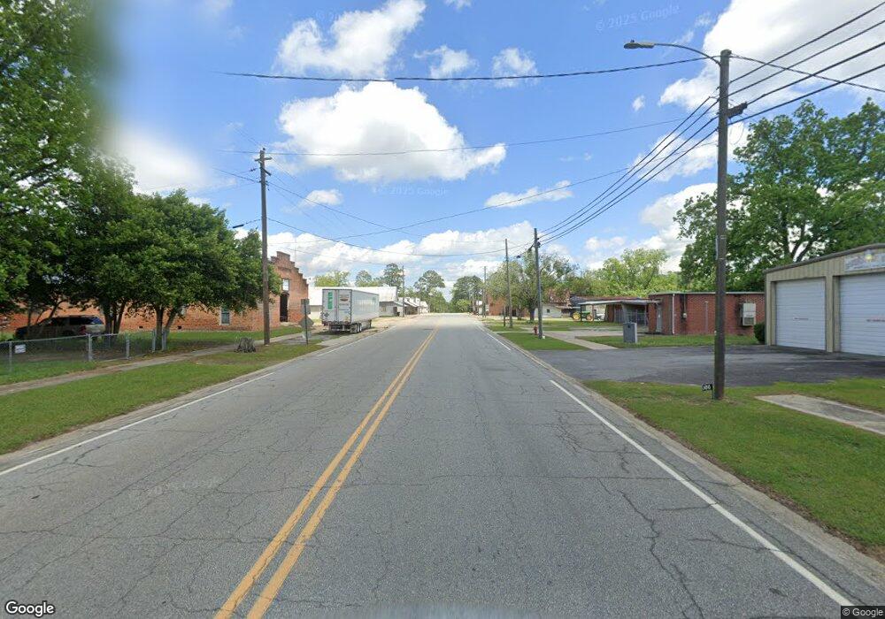
1040-BA W Main St Barwick, GA 31720
Estimated Value: $101,000 - $137,375
--
Bed
--
Bath
1,264
Sq Ft
$96/Sq Ft
Est. Value
About This Home
This home is located at 1040-BA W Main St, Barwick, GA 31720 and is currently estimated at $121,594, approximately $96 per square foot. 1040-BA W Main St is a home with nearby schools including Hand in Hand Primary School, Garrison-Pilcher Elementary School, and Cross Creek Elementary School.
Ownership History
Date
Name
Owned For
Owner Type
Purchase Details
Closed on
Jun 23, 2017
Sold by
Fallin Garvin T
Bought by
Fallin Garvin Thomas and Wade Thomas
Current Estimated Value
Purchase Details
Closed on
May 22, 2007
Sold by
Thornhill Elsie C
Bought by
Fallin Garvin T
Home Financials for this Owner
Home Financials are based on the most recent Mortgage that was taken out on this home.
Original Mortgage
$66,405
Interest Rate
6.16%
Mortgage Type
New Conventional
Create a Home Valuation Report for This Property
The Home Valuation Report is an in-depth analysis detailing your home's value as well as a comparison with similar homes in the area
Home Values in the Area
Average Home Value in this Area
Purchase History
| Date | Buyer | Sale Price | Title Company |
|---|---|---|---|
| Fallin Garvin Thomas | -- | -- | |
| Fallin Garvin T | $69,900 | -- |
Source: Public Records
Mortgage History
| Date | Status | Borrower | Loan Amount |
|---|---|---|---|
| Previous Owner | Fallin Garvin T | $66,405 |
Source: Public Records
Tax History Compared to Growth
Tax History
| Year | Tax Paid | Tax Assessment Tax Assessment Total Assessment is a certain percentage of the fair market value that is determined by local assessors to be the total taxable value of land and additions on the property. | Land | Improvement |
|---|---|---|---|---|
| 2024 | $1,360 | $41,809 | $3,368 | $38,441 |
| 2023 | $1,210 | $39,815 | $3,368 | $36,447 |
| 2022 | $760 | $31,662 | $2,807 | $28,855 |
| 2021 | $736 | $27,903 | $2,807 | $25,096 |
| 2020 | $571 | $27,708 | $2,807 | $24,901 |
| 2019 | $107 | $26,463 | $2,807 | $23,656 |
| 2018 | $107 | $26,373 | $2,807 | $23,566 |
| 2017 | $0 | $26,361 | $2,498 | $23,863 |
| 2016 | $102 | $24,640 | $2,498 | $22,142 |
| 2015 | $107 | $25,788 | $2,330 | $23,458 |
| 2014 | $106 | $25,229 | $2,330 | $22,900 |
| 2013 | -- | $25,229 | $2,329 | $22,899 |
Source: Public Records
Map
Nearby Homes
