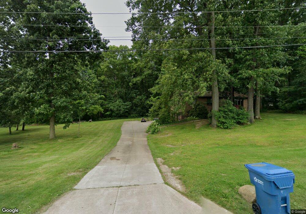
1040 Boettler Rd Uniontown, OH 44685
Estimated Value: $216,000 - $298,125
3
Beds
2
Baths
1,551
Sq Ft
$159/Sq Ft
Est. Value
About This Home
This home is located at 1040 Boettler Rd, Uniontown, OH 44685 and is currently estimated at $246,281, approximately $158 per square foot. 1040 Boettler Rd is a home located in Summit County with nearby schools including Greenwood Elementary School, Green Intermediate Elementary School, and Green Primary School.
Ownership History
Date
Name
Owned For
Owner Type
Purchase Details
Closed on
Jul 26, 2006
Sold by
Miller Charles E
Bought by
Leighton Properties
Current Estimated Value
Purchase Details
Closed on
Aug 26, 2002
Sold by
Mason Margaret S and Mason Danny E
Bought by
Miller Charles E
Home Financials for this Owner
Home Financials are based on the most recent Mortgage that was taken out on this home.
Original Mortgage
$85,000
Interest Rate
6.54%
Purchase Details
Closed on
Jun 20, 1995
Sold by
Beavers Russell L
Bought by
Miller Margaret S and Miller Charles E
Home Financials for this Owner
Home Financials are based on the most recent Mortgage that was taken out on this home.
Original Mortgage
$42,000
Interest Rate
8.27%
Mortgage Type
New Conventional
Create a Home Valuation Report for This Property
The Home Valuation Report is an in-depth analysis detailing your home's value as well as a comparison with similar homes in the area
Home Values in the Area
Average Home Value in this Area
Purchase History
| Date | Buyer | Sale Price | Title Company |
|---|---|---|---|
| Leighton Properties | $131,000 | None Available | |
| Miller Charles E | -- | First Security Title Corpora | |
| Miller Margaret S | $112,000 | -- |
Source: Public Records
Mortgage History
| Date | Status | Borrower | Loan Amount |
|---|---|---|---|
| Previous Owner | Miller Charles E | $85,000 | |
| Previous Owner | Miller Margaret S | $42,000 |
Source: Public Records
Tax History Compared to Growth
Tax History
| Year | Tax Paid | Tax Assessment Tax Assessment Total Assessment is a certain percentage of the fair market value that is determined by local assessors to be the total taxable value of land and additions on the property. | Land | Improvement |
|---|---|---|---|---|
| 2025 | $4,349 | $90,619 | $18,932 | $71,687 |
| 2024 | $4,349 | $90,619 | $18,932 | $71,687 |
| 2023 | $4,349 | $90,619 | $18,932 | $71,687 |
| 2022 | $3,511 | $65,762 | $13,720 | $52,042 |
| 2021 | $3,296 | $65,762 | $13,720 | $52,042 |
| 2020 | $3,234 | $65,760 | $13,720 | $52,040 |
| 2019 | $2,565 | $48,860 | $13,030 | $35,830 |
| 2018 | $2,623 | $48,860 | $13,030 | $35,830 |
| 2017 | $2,654 | $48,860 | $13,030 | $35,830 |
| 2016 | $2,641 | $46,400 | $13,030 | $33,370 |
| 2015 | $2,654 | $46,400 | $13,030 | $33,370 |
| 2014 | $2,638 | $46,400 | $13,030 | $33,370 |
| 2013 | $2,732 | $47,750 | $13,030 | $34,720 |
Source: Public Records
Map
Nearby Homes
- 1008 Dalby Cir
- 0 Kenway Blvd Unit 5162986
- 3704 Kenway Blvd
- 3943 Crest View Dr
- 3680 Kenway Blvd
- 3683 Kenway Blvd
- Mystique Plan at Brier Creek
- Countryview Plan at Brier Creek
- Prosperity Plan at Brier Creek
- 3672 Kenway Blvd
- 3675 Kenway Blvd
- 3832 Jacobs Ln
- 3667 Kenway Blvd
- 3829 Jacobs Ln
- Westchester Plan at Jacobs Ridge - Estates
- Newberry Plan at Jacobs Ridge - Crossings
- Mercer Plan at Jacobs Ridge - Crossings
- Amberwood Plan at Jacobs Ridge - Estates
- Ascend Plan at Jacobs Ridge - Crossings
- Boardwalk Plan at Jacobs Ridge - Crossings
- 978 Boettler Rd
- 980 Boettler Rd
- 3924 Larabee Cir
- 3932 Larabee Cir NW
- 3908 Larabee Cir
- 3916 Larabee Cir
- 3900 Larabee Cir
- 9999 Larabee
- 4137 Arlington Rd
- 3818 Kenway Blvd
- 3931 Larabee Cir
- 3808 Kenway Blvd
- 3800 Kenway Blvd
- 4149 Arlington Rd
- 3923 Larabee Cir
- 3913 Larabee Cir
- 3903 Larabee Cir
- 3792 Kenway Blvd
- 4080 Arlington Rd
- 3834 Kenway Blvd