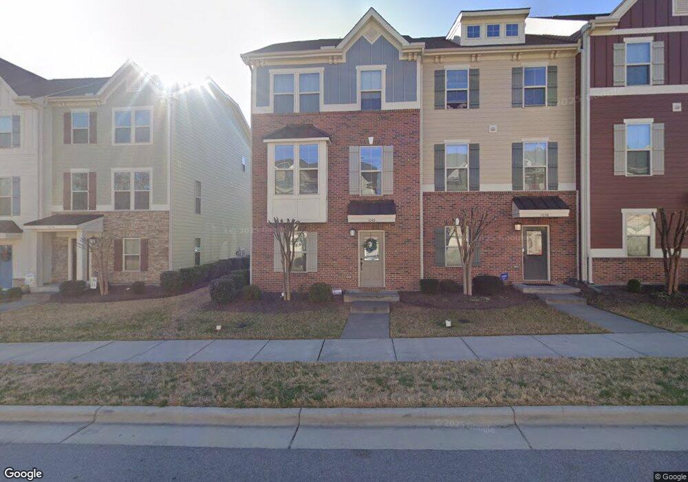
1040 Brownsmith Dr Unit 1012 A Apex, NC 27502
Beaver Creek NeighborhoodEstimated Value: $402,000 - $436,000
4
Beds
4
Baths
2,084
Sq Ft
$198/Sq Ft
Est. Value
About This Home
This home is located at 1040 Brownsmith Dr Unit 1012 A, Apex, NC 27502 and is currently estimated at $411,685, approximately $197 per square foot. 1040 Brownsmith Dr Unit 1012 A is a home located in Wake County with nearby schools including Salem Elementary, Salem Middle, and Apex Friendship High School.
Ownership History
Date
Name
Owned For
Owner Type
Purchase Details
Closed on
Nov 10, 2021
Sold by
Wu Yarping
Bought by
Mcweeney Jessica Marie and Jabareen Omar
Current Estimated Value
Home Financials for this Owner
Home Financials are based on the most recent Mortgage that was taken out on this home.
Original Mortgage
$384,750
Outstanding Balance
$352,655
Interest Rate
3.01%
Mortgage Type
Purchase Money Mortgage
Estimated Equity
$59,030
Purchase Details
Closed on
Nov 14, 2017
Sold by
Nvr Inc
Bought by
Wu Yanping
Create a Home Valuation Report for This Property
The Home Valuation Report is an in-depth analysis detailing your home's value as well as a comparison with similar homes in the area
Home Values in the Area
Average Home Value in this Area
Purchase History
| Date | Buyer | Sale Price | Title Company |
|---|---|---|---|
| Mcweeney Jessica Marie | $405,000 | None Available | |
| Wu Yanping | $297,500 | None Available |
Source: Public Records
Mortgage History
| Date | Status | Borrower | Loan Amount |
|---|---|---|---|
| Open | Mcweeney Jessica Marie | $384,750 |
Source: Public Records
Tax History
| Year | Tax Paid | Tax Assessment Tax Assessment Total Assessment is a certain percentage of the fair market value that is determined by local assessors to be the total taxable value of land and additions on the property. | Land | Improvement |
|---|---|---|---|---|
| 2025 | $3,552 | $404,490 | $110,000 | $294,490 |
| 2024 | $3,472 | $404,490 | $110,000 | $294,490 |
Source: Public Records
Map
Nearby Homes
- 2007 Ackerman Hill Dr
- 1001 Drayman Place
- 2144 Barnside Ln
- 1110 Palisade Bluff Ln
- 1111 Fairfax Woods Dr
- 2112 Barrier Ridge Way
- 2118 Barrier Ridge Way
- 2122 Barrier Ridge Way
- 1200 Fairfax Woods Dr
- 2113 Barrier Ridge Way
- 2115 Barrier Ridge Way
- 2117 Barrier Ridge Way
- 2119 Barrier Ridge Way
- 1116 Palisade Bluff Ln
- 1103 Palisade Bluff Ln
- 1105 Palisade Bluff Ln
- 1107 Palisade Bluff Ln
- 1127 Palisade Bluff Ln
- 1002 Tribble Gate Ct
- 1004 Wild Sonnet Ct
- 1040 Brownsmith Dr
- 1038 Brownsmith Dr Unit 1012 B
- 1044 Brownsmith Dr
- 1044 Brownsmith Dr Unit 1011 D
- 1036 Brownsmith Dr Unit 1012 C
- 1046 Brownsmith Dr
- 1034 Brownsmith Dr Unit 1012D
- 1034 Brownsmith Dr
- 1048 Brownsmith Dr Unit 1011 B
- 1048 Brownsmith Dr
- 1030 Brownsmith Dr
- 1030 Brownsmith Dr Unit 1013 A
- 1050 Brownsmith Dr Unit 1011 A
- 1050 Brownsmith Dr
- 1015 Drayman Place Unit 1015 A
- 1015 Drayman Place
- 1021 Drayman Place
- 1028 Brownsmith Dr Unit A
- 1028 Brownsmith Dr Unit 1
- 1028 Brownsmith Dr
Your Personal Tour Guide
Ask me questions while you tour the home.