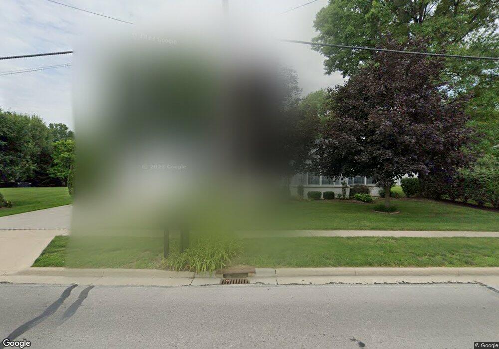
1040 Clark St Holland, OH 43528
Estimated Value: $298,000 - $330,000
4
Beds
3
Baths
2,086
Sq Ft
$148/Sq Ft
Est. Value
About This Home
This home is located at 1040 Clark St, Holland, OH 43528 and is currently estimated at $308,127, approximately $147 per square foot. 1040 Clark St is a home located in Lucas County with nearby schools including Holland Elementary School, Springfield Middle School, and Springfield High School.
Ownership History
Date
Name
Owned For
Owner Type
Purchase Details
Closed on
Aug 13, 2015
Sold by
Kaiser Dallas T and Kaiser Deborah
Bought by
Kaiser Dallas T and Kaiser Deborah L
Current Estimated Value
Home Financials for this Owner
Home Financials are based on the most recent Mortgage that was taken out on this home.
Original Mortgage
$110,500
Outstanding Balance
$43,769
Interest Rate
4.03%
Mortgage Type
New Conventional
Estimated Equity
$264,358
Purchase Details
Closed on
Jan 12, 2002
Sold by
Kaiser & Kaiser Enterprises and Kaiser Dallas T
Bought by
Kaiser Dallas T
Create a Home Valuation Report for This Property
The Home Valuation Report is an in-depth analysis detailing your home's value as well as a comparison with similar homes in the area
Home Values in the Area
Average Home Value in this Area
Purchase History
| Date | Buyer | Sale Price | Title Company |
|---|---|---|---|
| Kaiser Dallas T | -- | None Available | |
| Kaiser Dallas T | $20,000 | -- |
Source: Public Records
Mortgage History
| Date | Status | Borrower | Loan Amount |
|---|---|---|---|
| Open | Kaiser Dallas T | $110,500 |
Source: Public Records
Tax History Compared to Growth
Tax History
| Year | Tax Paid | Tax Assessment Tax Assessment Total Assessment is a certain percentage of the fair market value that is determined by local assessors to be the total taxable value of land and additions on the property. | Land | Improvement |
|---|---|---|---|---|
| 2024 | $1,862 | $76,020 | $17,045 | $58,975 |
| 2023 | $4,395 | $76,475 | $17,150 | $59,325 |
| 2022 | $4,026 | $69,930 | $10,605 | $59,325 |
| 2021 | $4,029 | $69,930 | $10,605 | $59,325 |
| 2020 | $3,758 | $58,695 | $8,680 | $50,015 |
| 2019 | $3,660 | $58,695 | $8,680 | $50,015 |
| 2018 | $3,571 | $58,695 | $8,680 | $50,015 |
| 2017 | $3,513 | $52,745 | $9,450 | $43,295 |
| 2016 | $3,550 | $150,700 | $27,000 | $123,700 |
| 2015 | $3,542 | $150,700 | $27,000 | $123,700 |
| 2014 | $3,202 | $51,210 | $9,170 | $42,040 |
| 2013 | $3,202 | $51,210 | $9,170 | $42,040 |
Source: Public Records
Map
Nearby Homes
- 7139 Springfield Dr
- 1054 Clark St
- 1051 Wentworth St
- 820 Weatherstone Rd
- 1421 Maumee St
- 7331 Witherby Ct
- 7717 Angola Rd
- 508 Crystal Lake Dr
- 8939 Airport Hwy
- 642 Diana Dr
- 343 S Mccord Rd
- 217 Pebble Beach Dr
- 319 S Mccord Rd
- 6855 Wharton Rd
- 134 Deerfield Dr
- 640 Quigley St
- 426 Cheswick Rd
- 324 Harefoote St
- 352 Cheswick St
- 7238 Lilac Ct
- 1027 Clark St
- 1045 Clark St
- 1035 Clark St
- 7151 Springfield Dr
- 7140 Wahington Dr
- 1059 Clark St
- 7145 Springfield Dr
- 7140 Washington Dr
- 1010 Clark St
- 1041 Clark St
- 1075 Clark St
- 1106 Clark St
- 7152 Springfield Dr
- 7136 Washington Dr
- 7134 Washington Dr
- 1105 Clark St
- 7133 Springfield Dr
- 7146 Springfield Dr
- 960 Clark St
- 7137 Washington Dr