1040 David Trace Suwanee, GA 30024
Estimated Value: $546,842 - $606,000
4
Beds
3
Baths
2,261
Sq Ft
$257/Sq Ft
Est. Value
About This Home
This home is located at 1040 David Trace, Suwanee, GA 30024 and is currently estimated at $580,961, approximately $256 per square foot. 1040 David Trace is a home located in Forsyth County with nearby schools including Settles Bridge Elementary School, Riverwatch Middle School, and Lambert High School.
Ownership History
Date
Name
Owned For
Owner Type
Purchase Details
Closed on
Jul 28, 2006
Sold by
Kimsey Michael T and Kimsey Robin B
Bought by
Pullen Stephen S and Sellers Traci
Current Estimated Value
Home Financials for this Owner
Home Financials are based on the most recent Mortgage that was taken out on this home.
Original Mortgage
$256,400
Outstanding Balance
$153,771
Interest Rate
6.74%
Mortgage Type
New Conventional
Estimated Equity
$427,190
Purchase Details
Closed on
Jan 4, 1999
Sold by
Sareers John E and Sareers Donna B
Bought by
Kinsey Michael T and Kinsey Robin B
Home Financials for this Owner
Home Financials are based on the most recent Mortgage that was taken out on this home.
Original Mortgage
$183,200
Interest Rate
6.72%
Mortgage Type
Stand Alone Refi Refinance Of Original Loan
Purchase Details
Closed on
Apr 26, 1996
Sold by
Peach State Prop Devel
Bought by
Savers John Donna
Create a Home Valuation Report for This Property
The Home Valuation Report is an in-depth analysis detailing your home's value as well as a comparison with similar homes in the area
Home Values in the Area
Average Home Value in this Area
Purchase History
| Date | Buyer | Sale Price | Title Company |
|---|---|---|---|
| Pullen Stephen S | $269,900 | -- | |
| Kinsey Michael T | $188,900 | -- | |
| Savers John Donna | $176,500 | -- |
Source: Public Records
Mortgage History
| Date | Status | Borrower | Loan Amount |
|---|---|---|---|
| Open | Pullen Stephen S | $256,400 | |
| Previous Owner | Kinsey Michael T | $183,200 | |
| Closed | Savers John Donna | $0 |
Source: Public Records
Tax History
| Year | Tax Paid | Tax Assessment Tax Assessment Total Assessment is a certain percentage of the fair market value that is determined by local assessors to be the total taxable value of land and additions on the property. | Land | Improvement |
|---|---|---|---|---|
| 2025 | $4,072 | $213,192 | $74,000 | $139,192 |
| 2024 | $4,072 | $214,980 | $68,000 | $146,980 |
| 2023 | $3,487 | $200,440 | $60,000 | $140,440 |
Source: Public Records
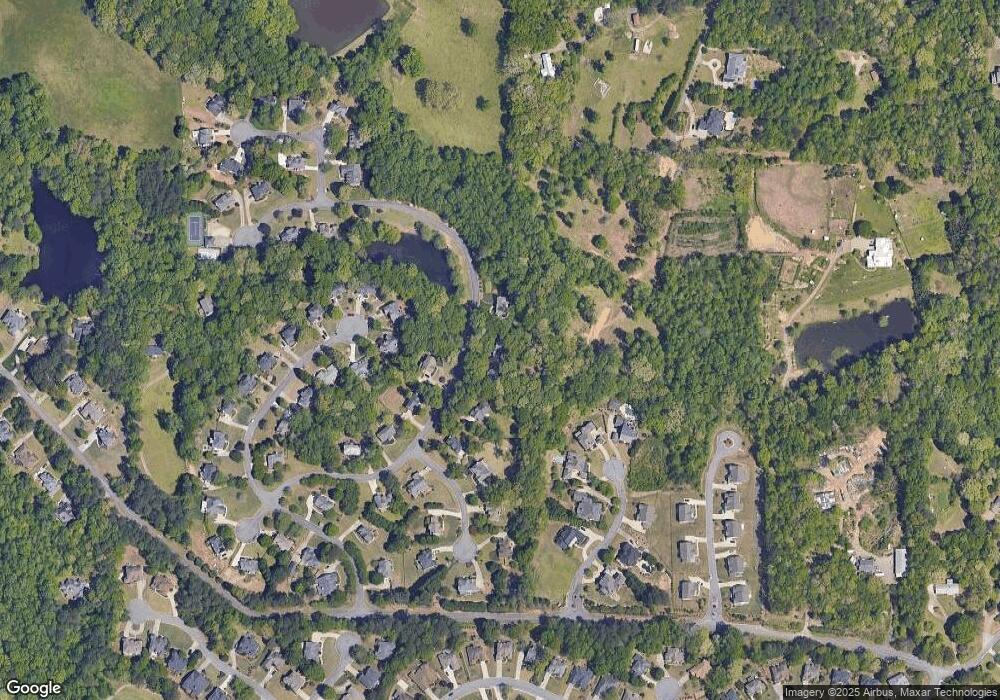
Map
Nearby Homes
- 1104 Bartlett Trace
- 1120 Bartlett Trace
- 1101 Bartlett Trace
- 1108 Bartlett Trace
- 975 Taylor Pkwy
- 6775 Sterling Dr
- 6640 Bridlewood Way
- 6540 Bridlewood Way
- 2435 Southers Cir
- 2025 Southers Cir
- 925 Settles Creek Way
- 1875 Southers Cir
- 4320 Waterford Dr
- 4415 Waterford Dr
- 1310 Settles Rd
- 5190 Estate View Trace
- 895 Riverhaven Dr
- 6460 Rutherford Place
- 00 Old Atlanta Lot Rd
- 6455 Rutherford Place
- 1030 David Trace
- 1050 David Trace
- 1035 David Trace
- 1020 David Trace
- 990 Taylor Pkwy
- 980 Taylor Pkwy
- 1015 David Trace
- 1005 Russell Point
- 1015 Russell Point Unit 47
- 1015 Russell Point
- 845 Southers Plantation Ln
- 970 Taylor Pkwy Unit 18
- 970 Taylor Pkwy
- 995 Taylor Pkwy
- 965 David Trace
- 835 Southers Plantation Ln
- 1010 Russell Point
- 1025 Russell Point
- 850 Southers Plantation Ln
- 960 Taylor Pkwy
Your Personal Tour Guide
Ask me questions while you tour the home.