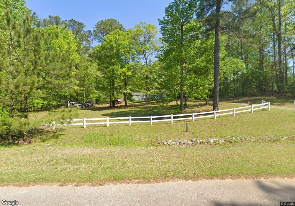
1040 Elder Rd Griffin, GA 30223
Spalding County NeighborhoodEstimated Value: $125,000 - $207,000
3
Beds
2
Baths
1,404
Sq Ft
$129/Sq Ft
Est. Value
About This Home
This home is located at 1040 Elder Rd, Griffin, GA 30223 and is currently estimated at $180,935, approximately $128 per square foot. 1040 Elder Rd is a home located in Spalding County with nearby schools including Beaverbrook Elementary School, Cowan Road Middle School, and Griffin High School.
Ownership History
Date
Name
Owned For
Owner Type
Purchase Details
Closed on
Sep 24, 2023
Sold by
Moore Amie
Bought by
State Mechanical Company
Current Estimated Value
Purchase Details
Closed on
Aug 19, 2016
Sold by
Federal Natl Mtg Assn Fnma
Bought by
Reagin Charles Ronnie
Purchase Details
Closed on
Jul 5, 2016
Sold by
Katie
Bought by
Federal National Mtg Associati
Purchase Details
Closed on
Mar 29, 1988
Sold by
Heath W Donald
Bought by
Johnson William L and Johnson Katie L
Create a Home Valuation Report for This Property
The Home Valuation Report is an in-depth analysis detailing your home's value as well as a comparison with similar homes in the area
Home Values in the Area
Average Home Value in this Area
Purchase History
| Date | Buyer | Sale Price | Title Company |
|---|---|---|---|
| State Mechanical Company | -- | -- | |
| State Mechanical Company | -- | -- | |
| State Mechanical Company | -- | -- | |
| State Mechanical Company | $40,000 | -- | |
| Reagin Charles Ronnie | $66,900 | -- | |
| Federal National Mtg Associati | $38,700 | -- | |
| Johnson William L | $2,200 | -- |
Source: Public Records
Tax History
| Year | Tax Paid | Tax Assessment Tax Assessment Total Assessment is a certain percentage of the fair market value that is determined by local assessors to be the total taxable value of land and additions on the property. | Land | Improvement |
|---|---|---|---|---|
| 2025 | $1,153 | $32,226 | $12,432 | $19,794 |
| 2024 | $1,140 | $32,226 | $12,432 | $19,794 |
| 2023 | $1,153 | $33,698 | $12,432 | $21,266 |
| 2022 | $878 | $24,150 | $10,774 | $13,376 |
| 2021 | $837 | $23,025 | $10,774 | $12,251 |
| 2020 | $834 | $22,858 | $10,774 | $12,084 |
| 2019 | $873 | $23,447 | $10,774 | $12,673 |
| 2018 | $896 | $23,447 | $10,774 | $12,673 |
| 2017 | $872 | $23,447 | $10,774 | $12,673 |
| 2016 | $93 | $23,448 | $10,774 | $12,673 |
| 2015 | $106 | $23,448 | $10,774 | $12,673 |
| 2014 | $106 | $23,448 | $10,774 | $12,673 |
Source: Public Records
Map
Nearby Homes
- 0 Elder Rd Unit 25075151
- 0 Elder Rd Unit 10619475
- 110 Fannin Rd
- 1690 Patterson Rd
- 1100 Stiles Crossing
- 1102 Stiles Crossing
- 1100 Patterson Rd
- 1060 Patterson Rd
- 1974 Steele Rd
- 103 Hammond Rd
- 565 Sidney Dr
- 215 Mobley Rd
- 175 Mobley Rd
- 2987 Steele Rd
- 0 Deason St Unit 23730
- 0 Deason St Unit 10624935
- 180 Davidson Dr
- 725 County Line Church Rd
- 265 Steele Rd
- 1057 Vineyard Rd
