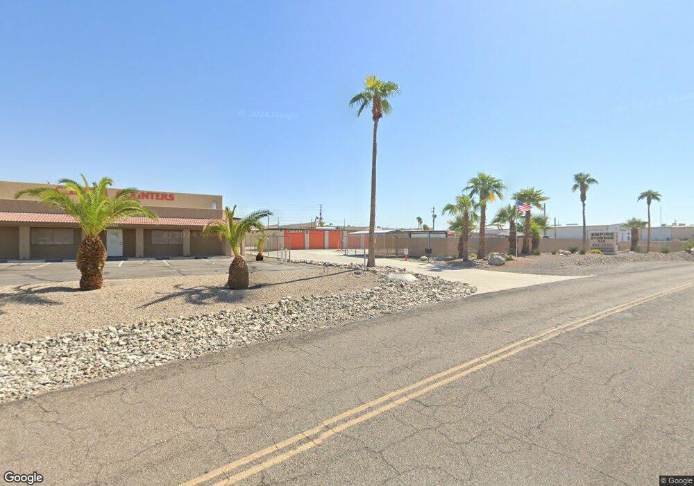
1040 Empire Dr Lake Havasu City, AZ 86404
Estimated Value: $1,375,735
--
Bed
--
Bath
17,320
Sq Ft
$79/Sq Ft
Est. Value
About This Home
This home is located at 1040 Empire Dr, Lake Havasu City, AZ 86404 and is currently estimated at $1,375,735, approximately $79 per square foot. 1040 Empire Dr is a home located in Mohave County with nearby schools including Nautilus Elementary School, Thunderbolt Middle School, and Lake Havasu High School.
Ownership History
Date
Name
Owned For
Owner Type
Purchase Details
Closed on
Feb 26, 2017
Sold by
Russell Robert Oak
Bought by
Russell Robert O
Current Estimated Value
Home Financials for this Owner
Home Financials are based on the most recent Mortgage that was taken out on this home.
Original Mortgage
$422,500
Outstanding Balance
$350,360
Interest Rate
4.17%
Mortgage Type
Future Advance Clause Open End Mortgage
Estimated Equity
$1,025,375
Purchase Details
Closed on
Jul 31, 2008
Sold by
Day Diane M and Day Donald L
Bought by
Dayco Storage Inc
Create a Home Valuation Report for This Property
The Home Valuation Report is an in-depth analysis detailing your home's value as well as a comparison with similar homes in the area
Home Values in the Area
Average Home Value in this Area
Purchase History
| Date | Buyer | Sale Price | Title Company |
|---|---|---|---|
| Russell Robert O | -- | Stewart Title Arizona Agency | |
| Russell Robert Oak | $740,000 | Stewart Title Arizona Agency | |
| Dayco Storage Inc | -- | None Available |
Source: Public Records
Mortgage History
| Date | Status | Borrower | Loan Amount |
|---|---|---|---|
| Open | Russell Robert Oak | $422,500 |
Source: Public Records
Tax History Compared to Growth
Tax History
| Year | Tax Paid | Tax Assessment Tax Assessment Total Assessment is a certain percentage of the fair market value that is determined by local assessors to be the total taxable value of land and additions on the property. | Land | Improvement |
|---|---|---|---|---|
| 2026 | $4,685 | -- | -- | -- |
| 2025 | $9,783 | $198,830 | $0 | $0 |
| 2024 | $9,783 | $171,981 | $0 | $0 |
| 2023 | $9,783 | $131,418 | $0 | $0 |
| 2022 | $9,638 | $124,245 | $0 | $0 |
| 2021 | $10,540 | $113,160 | $0 | $0 |
| 2019 | $9,994 | $121,535 | $0 | $0 |
| 2018 | $9,642 | $128,678 | $0 | $0 |
| 2017 | $9,545 | $103,551 | $0 | $0 |
| 2016 | $8,609 | $100,906 | $0 | $0 |
| 2015 | $8,450 | $85,628 | $0 | $0 |
Source: Public Records
Map
Nearby Homes
- 1755 Kiowa Ave
- 1810 Kirk Dr
- 1612 Kiowa Ave
- 1851 Dion Dr
- 1600 Kiowa Ave
- 1670 Kirk Dr
- 1659 Kirk Dr
- 1811 Westport Dr
- 1881 Westport Dr
- 1250 Park Terrace Ave
- 1790 Cessna Bay
- 1294 Park Terrace Ln
- 1265 Tanqueray Dr
- 1361 Tamarack Dr
- 1329 Piper Dr
- 1764 Buckeye On Your Lot Plan
- 1691 Seabring On Your Lot
- 1664 Mohican On Your Lot Plan
- 1295 Tanqueray Dr
- 864 Deepwater Dr
- 0000 Aurora Model On Your Lot
- 1020 Empire Dr
- 1055 Empire Dr Unit E
- 1055 Empire Dr Unit 103
- 1055 Empire Dr Unit 102
- 1055 Empire Dr Unit 101
- 1055 Empire Dr Unit A&B
- 1055 Empire Dr Unit C
- 1055 Empire Dr Unit 2.1
- 1055 Empire Dr Unit 1.2
- 1055 Empire Dr Unit 1
- 1055 Empire Dr Unit 2.2
- 1055 Empire Dr Unit 1.1
- 1055 Empire Dr Unit B
- 1055 Empire Dr Unit 202
- 1055 Empire Dr
- 1055 Empire Dr Unit 200
- 1055 Empire Dr Unit A
- 1070 Empire Dr
- 1025 Empire Dr Unit C123