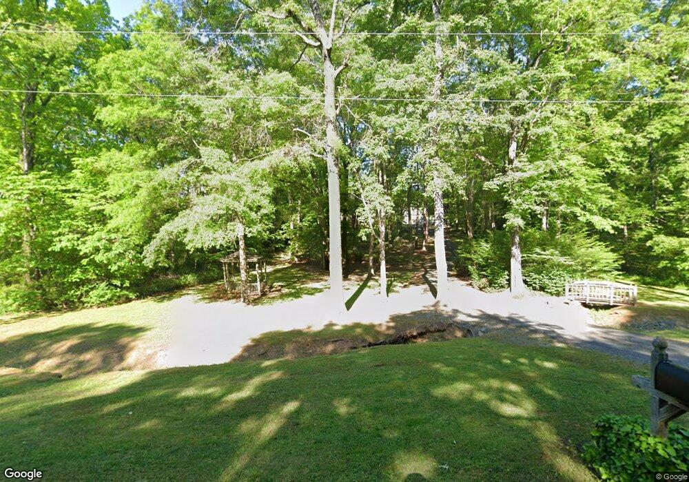
1040 Fox Den Trail South Boston, VA 24592
Estimated Value: $282,378 - $323,000
4
Beds
3
Baths
1,582
Sq Ft
$195/Sq Ft
Est. Value
About This Home
This home is located at 1040 Fox Den Trail, South Boston, VA 24592 and is currently estimated at $309,095, approximately $195 per square foot. 1040 Fox Den Trail is a home located in Halifax County with nearby schools including South Boston Elementary School, Halifax County Middle School, and Halifax County High School.
Ownership History
Date
Name
Owned For
Owner Type
Purchase Details
Closed on
Apr 25, 2024
Sold by
Ingram Tony L and Ingram Tammy F
Bought by
Ingram Emily Grace
Current Estimated Value
Purchase Details
Closed on
Feb 19, 2009
Sold by
Purcell Charles F
Bought by
Ingram Tony L
Home Financials for this Owner
Home Financials are based on the most recent Mortgage that was taken out on this home.
Original Mortgage
$207,000
Interest Rate
5.06%
Mortgage Type
New Conventional
Create a Home Valuation Report for This Property
The Home Valuation Report is an in-depth analysis detailing your home's value as well as a comparison with similar homes in the area
Home Values in the Area
Average Home Value in this Area
Purchase History
| Date | Buyer | Sale Price | Title Company |
|---|---|---|---|
| Ingram Emily Grace | -- | None Listed On Document | |
| Ingram Tony L | $230,000 | -- |
Source: Public Records
Mortgage History
| Date | Status | Borrower | Loan Amount |
|---|---|---|---|
| Previous Owner | Ingram Tony L | $207,000 |
Source: Public Records
Tax History Compared to Growth
Tax History
| Year | Tax Paid | Tax Assessment Tax Assessment Total Assessment is a certain percentage of the fair market value that is determined by local assessors to be the total taxable value of land and additions on the property. | Land | Improvement |
|---|---|---|---|---|
| 2025 | $1,103 | $220,670 | $26,400 | $194,270 |
| 2024 | $1,103 | $220,500 | $26,400 | $194,100 |
| 2023 | $999 | $199,837 | $26,400 | $173,437 |
| 2022 | $999 | $199,837 | $26,400 | $173,437 |
| 2021 | $969 | $193,830 | $26,400 | $167,430 |
| 2020 | $969 | $193,830 | $26,400 | $167,430 |
| 2019 | $986 | $197,201 | $26,406 | $170,795 |
| 2018 | $947 | $197,201 | $26,406 | $170,795 |
| 2016 | $947 | $197,201 | $26,406 | $170,795 |
| 2015 | $947 | $168,725 | $26,406 | $142,319 |
| 2014 | $776 | $168,725 | $26,406 | $142,319 |
| 2013 | $766 | $170,171 | $26,406 | $143,765 |
Source: Public Records
Map
Nearby Homes
- 1194 Wolf Trap Rd
- 00 Good Trail
- 0 Wolf Trap Rd
- 1058 James D Hagood Hwy
- 509 Bellwood Ln
- 4507 Brentwood Dr
- 302 Dunncroft Ct
- 1002 John Randolph Blvd
- 1039 Azalea Ln
- 00 Alphonse Dairy Rd
- 0 Parker Ave
- 725 Magnolia Dr
- 2100 Rivoli St
- 618 Cedar Ave
- 104 Elizabeth Ct
- 8 LOTS Vaughan St
- 1-16 Vaughan St
- 0 Mcrae Dr Unit 70431
- 1312 Willingham Ave
- 1507 Friend Ave
- 1028 Fox Den Trail
- 1048 Fox Den Trail
- 0 Fox Den Trail
- 1016 Fox Den Trail
- 1053 Fox Den Trail
- 1031 Fox Den Trail
- 1058 Fox Den Trail
- 1224 Wolf Trap Rd
- 1186 Wolf Trap Rd
- 1038 Good Trail
- 2004 Wolf Trap Rd
- 1046 Good Trail
- 1195 Wolf Trap Rd
- 2012 Wolf Trap Rd
- Lot 24 Good Trail
- 1.66 Good Trail
- 1187 Wolf Trap Rd
- 1023 Good Trail
- 1039 Good Trail
- 1017 Good Trail