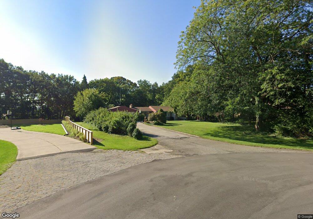
1040 Lydia Dr Saint Joseph, MI 49085
Vineland NeighborhoodEstimated Value: $348,000 - $420,463
3
Beds
2
Baths
2,226
Sq Ft
$171/Sq Ft
Est. Value
About This Home
This home is located at 1040 Lydia Dr, Saint Joseph, MI 49085 and is currently estimated at $380,366, approximately $170 per square foot. 1040 Lydia Dr is a home located in Berrien County with nearby schools including Upton Middle School, St. Joseph High School, and Trinity Lutheran School.
Ownership History
Date
Name
Owned For
Owner Type
Purchase Details
Closed on
Aug 19, 2009
Sold by
Dodd Christian Michael and Dodd Laura A
Bought by
Robles Steven J and Robles Carmela
Current Estimated Value
Home Financials for this Owner
Home Financials are based on the most recent Mortgage that was taken out on this home.
Original Mortgage
$140,000
Interest Rate
5.28%
Mortgage Type
New Conventional
Purchase Details
Closed on
Mar 30, 2009
Sold by
Wallace Lois
Bought by
Dodd Christian Michael and Dodd Laura A
Home Financials for this Owner
Home Financials are based on the most recent Mortgage that was taken out on this home.
Original Mortgage
$191,468
Interest Rate
5.11%
Mortgage Type
FHA
Purchase Details
Closed on
Feb 18, 1989
Create a Home Valuation Report for This Property
The Home Valuation Report is an in-depth analysis detailing your home's value as well as a comparison with similar homes in the area
Home Values in the Area
Average Home Value in this Area
Purchase History
| Date | Buyer | Sale Price | Title Company |
|---|---|---|---|
| Robles Steven J | $200,000 | Chicago Title Of Michigan | |
| Dodd Christian Michael | $195,000 | Metro | |
| -- | -- | -- |
Source: Public Records
Mortgage History
| Date | Status | Borrower | Loan Amount |
|---|---|---|---|
| Closed | Robles Steven J | $140,000 | |
| Previous Owner | Dodd Christian Michael | $191,468 |
Source: Public Records
Tax History Compared to Growth
Tax History
| Year | Tax Paid | Tax Assessment Tax Assessment Total Assessment is a certain percentage of the fair market value that is determined by local assessors to be the total taxable value of land and additions on the property. | Land | Improvement |
|---|---|---|---|---|
| 2025 | $4,108 | $173,200 | $0 | $0 |
| 2024 | $2,612 | $169,900 | $0 | $0 |
| 2023 | $2,488 | $124,500 | $0 | $0 |
| 2022 | $2,369 | $117,500 | $0 | $0 |
| 2021 | $3,603 | $113,000 | $21,800 | $91,200 |
| 2020 | $3,491 | $115,900 | $0 | $0 |
| 2019 | $3,343 | $117,900 | $29,300 | $88,600 |
| 2018 | $3,212 | $117,900 | $0 | $0 |
| 2017 | $3,165 | $117,700 | $0 | $0 |
| 2016 | $3,085 | $115,600 | $0 | $0 |
| 2015 | $3,039 | $111,200 | $0 | $0 |
| 2014 | $2,071 | $105,300 | $0 | $0 |
Source: Public Records
Map
Nearby Homes
- 1189 Lydia Dr
- 816 Saint Joseph Dr
- 944 Eagle Point Dr
- 924 Eagle Point Dr
- 2317 S Pointe Way Unit 5
- 2401 Bay Pointe Dr
- 2500 Bay Pointe Dr
- Parcel 2-B Niles Road M-63
- V/L Niles Rd
- 1100 Highland Ave
- 2510 Bay Pointe Dr
- 2469 Washington Ave
- 2705 Oakwood Ln
- 705 Columbia Ave
- 1525 Moccasin Trail
- 2530 Bristol Terrace Unit 85
- 2865 Carrie Ln
- 1510 Moccasin Trail
- 1565 Miami Rd
- 2816 Evergreen Dr