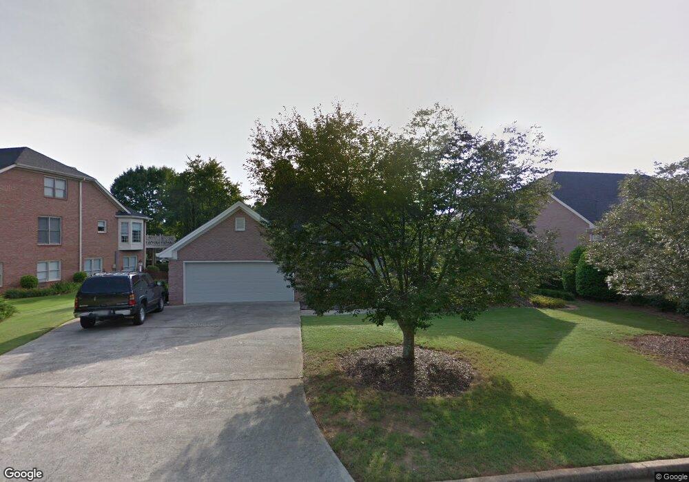
1040 Malbrough Dr Unit 4 Alpharetta, GA 30004
Estimated Value: $668,000 - $706,956
3
Beds
3
Baths
2,454
Sq Ft
$280/Sq Ft
Est. Value
About This Home
This home is located at 1040 Malbrough Dr Unit 4, Alpharetta, GA 30004 and is currently estimated at $687,489, approximately $280 per square foot. 1040 Malbrough Dr Unit 4 is a home located in Fulton County with nearby schools including Crabapple Crossing Elementary School, Northwestern Middle School, and Milton High School.
Ownership History
Date
Name
Owned For
Owner Type
Purchase Details
Closed on
Jun 5, 1998
Sold by
Head Cecile D
Bought by
Collier Ronald M and Collier Maxine B
Current Estimated Value
Home Financials for this Owner
Home Financials are based on the most recent Mortgage that was taken out on this home.
Original Mortgage
$176,000
Outstanding Balance
$35,762
Interest Rate
7.23%
Mortgage Type
New Conventional
Estimated Equity
$651,727
Create a Home Valuation Report for This Property
The Home Valuation Report is an in-depth analysis detailing your home's value as well as a comparison with similar homes in the area
Home Values in the Area
Average Home Value in this Area
Purchase History
| Date | Buyer | Sale Price | Title Company |
|---|---|---|---|
| Collier Ronald M | $220,000 | -- |
Source: Public Records
Mortgage History
| Date | Status | Borrower | Loan Amount |
|---|---|---|---|
| Open | Collier Ronald M | $176,000 |
Source: Public Records
Tax History Compared to Growth
Tax History
| Year | Tax Paid | Tax Assessment Tax Assessment Total Assessment is a certain percentage of the fair market value that is determined by local assessors to be the total taxable value of land and additions on the property. | Land | Improvement |
|---|---|---|---|---|
| 2025 | $512 | $248,160 | $47,960 | $200,200 |
| 2023 | $6,906 | $244,680 | $62,440 | $182,240 |
| 2022 | $3,177 | $192,440 | $39,400 | $153,040 |
| 2021 | $3,560 | $168,960 | $33,560 | $135,400 |
| 2020 | $3,578 | $166,960 | $33,160 | $133,800 |
| 2019 | $414 | $164,000 | $32,560 | $131,440 |
| 2018 | $3,666 | $143,320 | $26,360 | $116,960 |
| 2017 | $3,126 | $119,080 | $24,760 | $94,320 |
| 2016 | $3,125 | $119,080 | $24,760 | $94,320 |
| 2015 | $3,622 | $119,080 | $24,760 | $94,320 |
| 2014 | $3,260 | $119,080 | $24,760 | $94,320 |
Source: Public Records
Map
Nearby Homes
- 285 N Farm Dr
- 12440 Brookhill Crossing Ln
- 666 Abbey Ct
- 216 Lask Ln
- 290 Rucker Rd
- 233 Lask Ln
- 1040 Jordan Ln
- 640 Mae Ln
- 237 Lask Ln
- 1565 Parkside Dr
- 245 Lask Ln
- 13125 Morningpark Cir
- 249 Lask Ln
- 257 Lask Ln
- 507 Branyan Trail
- 406 Sweet Apple Cir
- 13025 Morningpark Cir
- 13015 Morningpark Cir Unit 1
- 580 Stillhouse Ln Unit 2
- 12857 Waterside Dr
- 1050 Malbrough Dr
- 0 Malbrough Dr Unit 8353653
- 0 Malbrough Dr Unit 8160982
- 0 Malbrough Dr Unit 8266167
- 0 Malbrough Dr Unit 8197346
- 0 Malbrough Dr
- 1030 Malbrough Dr
- 350 Carybell Ln
- 360 Carybell Ln
- 1045 Malbrough Dr
- 1055 Malbrough Dr
- 1020 Malbrough Dr Unit 4
- 370 Carybell Ln
- 340 Carybell Ln
- 1060 Malbrough Dr Unit 4
- 0 Carybell Ln
- 1025 Malbrough Dr
- 380 Carybell Ln
- 1010 Malbrough Dr
- 330 Carybell Ln