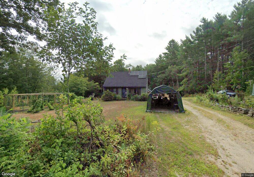
1040 Maplewood Rd West Newfield, ME 04095
Newfield NeighborhoodEstimated Value: $286,000 - $412,000
--
Bed
--
Bath
--
Sq Ft
4.9
Acres
About This Home
This home is located at 1040 Maplewood Rd, West Newfield, ME 04095 and is currently estimated at $351,065. 1040 Maplewood Rd is a home with nearby schools including Massabesic High School.
Ownership History
Date
Name
Owned For
Owner Type
Purchase Details
Closed on
Oct 10, 2017
Sold by
Reska James S and Reska Christine C
Bought by
Sanborn Raymond and Sanborn Deborah
Current Estimated Value
Home Financials for this Owner
Home Financials are based on the most recent Mortgage that was taken out on this home.
Original Mortgage
$50,000
Outstanding Balance
$41,809
Interest Rate
3.86%
Mortgage Type
New Conventional
Estimated Equity
$309,256
Create a Home Valuation Report for This Property
The Home Valuation Report is an in-depth analysis detailing your home's value as well as a comparison with similar homes in the area
Home Values in the Area
Average Home Value in this Area
Purchase History
| Date | Buyer | Sale Price | Title Company |
|---|---|---|---|
| Sanborn Raymond | -- | -- |
Source: Public Records
Mortgage History
| Date | Status | Borrower | Loan Amount |
|---|---|---|---|
| Open | Sanborn Raymond | $50,000 |
Source: Public Records
Tax History Compared to Growth
Tax History
| Year | Tax Paid | Tax Assessment Tax Assessment Total Assessment is a certain percentage of the fair market value that is determined by local assessors to be the total taxable value of land and additions on the property. | Land | Improvement |
|---|---|---|---|---|
| 2024 | $2,766 | $234,400 | $76,000 | $158,400 |
| 2023 | $2,560 | $234,400 | $76,000 | $158,400 |
| 2022 | $2,068 | $211,900 | $76,000 | $135,900 |
| 2021 | $1,929 | $169,500 | $60,800 | $108,700 |
| 2020 | $1,929 | $169,500 | $60,800 | $108,700 |
| 2019 | $1,888 | $169,500 | $60,800 | $108,700 |
| 2018 | $1,854 | $169,500 | $60,800 | $108,700 |
| 2017 | $1,831 | $169,500 | $60,800 | $108,700 |
| 2016 | $1,781 | $169,500 | $60,800 | $108,700 |
| 2015 | $1,651 | $169,500 | $60,800 | $108,700 |
| 2014 | $1,688 | $181,500 | $71,800 | $109,700 |
| 2013 | $1,634 | $181,500 | $71,800 | $109,700 |
Source: Public Records
Map
Nearby Homes
- 1089 Maplewood Rd
- 174 Wakefield Rd
- 122 Onamor Dr
- 00 Libby Rd Unit Lot 9
- 1 Corson Rd
- 41 Hobbs Rd
- 760 Mountain Rd
- 570 Maplewood Rd
- 220 Bond Spring Rd
- 315 Libby Rd
- 11 Symmes Dr
- 367 Shady Nook Rd
- 00 Carter Ln
- 209 Lost Mile Rd
- 84 Shady Nook Rd
- TBD Wakefield Rd
- Parcel #1 Sanborn Rd
- 112 Gile Rd
- 0 Island Dr
- 0 Whitehouse Rd
- 1044 Maplewood Rd
- 1027 Maplewood Rd
- 1059 Maplewood Rd
- 50 Garfield Rd
- 1064 Maplewood Rd
- 1067 Maplewood Rd
- 1011 Maplewood Rd
- 1077 Maplewood Rd
- 1086 Maplewood Rd
- 1090 Maplewood Rd
- 175 Wakefield Rd
- L 023.1 Effingham Rd
- Lot 23-1 S Effingham Rd
- 159 Wakefield Rd
- 165 Wakefield Rd
- Lot 24-1 S Effingham Rd
- 178 180 Wakefield
- 105 Wakefield Rd
- 185 & 187 Wakefield Rd
- 185 Wakefield Rd