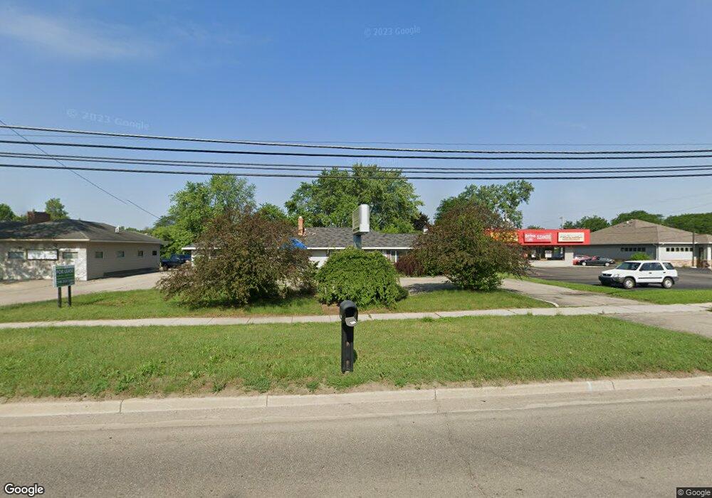
1040 S State Rd Davison, MI 48423
--
Bed
--
Bath
--
Sq Ft
27,007
Sq Ft Lot
About This Home
This home is located at 1040 S State Rd, Davison, MI 48423. 1040 S State Rd is a home located in Genesee County with nearby schools including Thomson Elementary School, Hill Elementary School, and Gates Elementary School.
Create a Home Valuation Report for This Property
The Home Valuation Report is an in-depth analysis detailing your home's value as well as a comparison with similar homes in the area
Home Values in the Area
Average Home Value in this Area
Tax History
| Year | Tax Paid | Tax Assessment Tax Assessment Total Assessment is a certain percentage of the fair market value that is determined by local assessors to be the total taxable value of land and additions on the property. | Land | Improvement |
|---|---|---|---|---|
| 2024 | -- | $180,700 | $0 | $0 |
| 2023 | $1,968 | $180,700 | $0 | $0 |
| 2022 | $9,256 | $180,700 | $0 | $0 |
| 2021 | $9,197 | $177,200 | $0 | $0 |
| 2020 | $1,947 | $168,200 | $0 | $0 |
| 2019 | $1,772 | $162,500 | $0 | $0 |
| 2018 | $7,609 | $164,800 | $0 | $0 |
| 2017 | $7,368 | $164,800 | $0 | $0 |
| 2016 | $7,272 | $165,900 | $0 | $0 |
| 2015 | -- | $166,200 | $0 | $0 |
| 2012 | -- | $144,200 | $44,000 | $100,200 |
Source: Public Records
Map
Nearby Homes
- 9463 Parkwood N Unit C
- 9469 Parkwood N Unit 2B
- 1084 Linda Dr
- 9390 Rayna Dr
- 0000 S State Rd
- 509 Tamarac Dr
- 334 E Clark St Unit 340 344
- 00 Lapeer Rd
- 1137 Canary Dr Unit 187
- 1024 Foxglove Ln
- 000 Foxglove Ln
- 9166 Emily Dr Unit 150
- 10.63(+/-) Acres Lapeer Rd
- 9177 Nicole Ln
- 1136 Jenna Dr Unit 207
- 350 E Rising St
- Vl Cal Dr
- VL Cal Dr
- 216 N Genesee St
- 00 E Lippincott Blvd
- 1048 S State Rd
- 1022 S State Rd
- 9441 Parkwood N
- 9443 Parkwood N Unit 3B
- 9435 Parkwood N Unit D
- 9447 Parkwood N Unit 3D
- 9445 Parkwood N
- 9445 Parkwood N
- 9437 Parkwood N
- 9473 Parkwood N
- 9433 Parkwood N
- 9433 Parkwood N Unit Bldg 5 Apt B
- 9475 Parkwood N Unit 1B
- 9471 Parkwood N Unit 5
- 9471 Parkwood N Unit 1, 05
- 9471 Parkwood N Unit 1D
- 1035 S Dayton St Unit 17B
- 9477 Parkwood N
- 9451 N Parkwood Dr
- 9453 Parkwood N Unit C
Your Personal Tour Guide
Ask me questions while you tour the home.