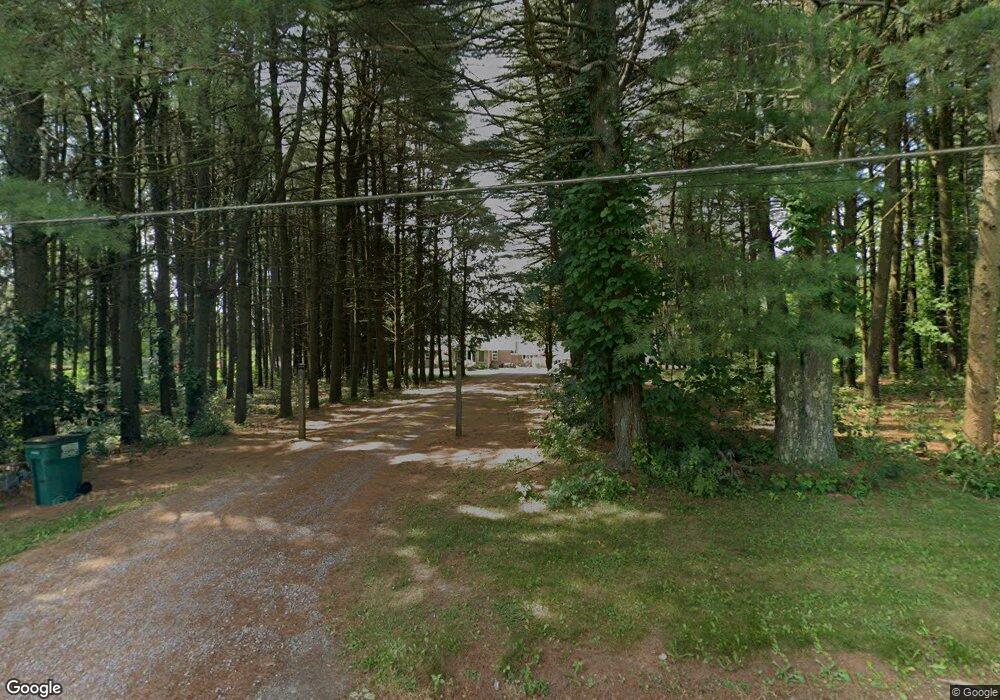
1040 Township Line Rd Wellsville, OH 43968
Estimated Value: $192,000 - $329,856
3
Beds
3
Baths
2,128
Sq Ft
$129/Sq Ft
Est. Value
About This Home
This home is located at 1040 Township Line Rd, Wellsville, OH 43968 and is currently estimated at $275,214, approximately $129 per square foot. 1040 Township Line Rd is a home located in Columbiana County with nearby schools including Garfield Elementary School, Daw Elementary School, and Wellsville Jr./Sr. High School.
Ownership History
Date
Name
Owned For
Owner Type
Purchase Details
Closed on
Nov 29, 2012
Sold by
Flanigan Matthew R and Flanigan Melvin
Bought by
Federal National Mortgage Association
Current Estimated Value
Purchase Details
Closed on
Oct 30, 2012
Sold by
Fannie Mae
Bought by
Deblasis Vincent N and Deblasis Nicholas J
Purchase Details
Closed on
Feb 28, 2003
Sold by
Lyle Joseph C and Lyle Elsie R
Bought by
Flanigan Melvin R and Flanigan Audra J
Home Financials for this Owner
Home Financials are based on the most recent Mortgage that was taken out on this home.
Original Mortgage
$150,000
Interest Rate
6%
Mortgage Type
VA
Create a Home Valuation Report for This Property
The Home Valuation Report is an in-depth analysis detailing your home's value as well as a comparison with similar homes in the area
Home Values in the Area
Average Home Value in this Area
Purchase History
| Date | Buyer | Sale Price | Title Company |
|---|---|---|---|
| Federal National Mortgage Association | $158,839 | Attorney | |
| Deblasis Vincent N | $136,900 | Attorney | |
| Flanigan Melvin R | $155,000 | Grimsley Title Agency |
Source: Public Records
Mortgage History
| Date | Status | Borrower | Loan Amount |
|---|---|---|---|
| Previous Owner | Flanigan Melvin R | $150,000 |
Source: Public Records
Tax History Compared to Growth
Tax History
| Year | Tax Paid | Tax Assessment Tax Assessment Total Assessment is a certain percentage of the fair market value that is determined by local assessors to be the total taxable value of land and additions on the property. | Land | Improvement |
|---|---|---|---|---|
| 2024 | $2,647 | $78,440 | $12,990 | $65,450 |
| 2023 | $2,559 | $78,440 | $12,990 | $65,450 |
| 2022 | $2,560 | $78,440 | $12,990 | $65,450 |
| 2021 | $2,223 | $64,610 | $12,320 | $52,290 |
| 2020 | $2,222 | $64,610 | $12,320 | $52,290 |
| 2019 | $2,303 | $64,610 | $12,320 | $52,290 |
| 2018 | $2,202 | $58,730 | $11,200 | $47,530 |
| 2017 | $2,252 | $58,730 | $11,200 | $47,530 |
| 2016 | $2,220 | $57,020 | $8,050 | $48,970 |
| 2015 | $2,224 | $57,020 | $8,050 | $48,970 |
| 2014 | $1,897 | $50,820 | $8,050 | $42,770 |
Source: Public Records
Map
Nearby Homes
- 1087 Hillcrest Rd
- 0 Hibbetts-Mill Rd Unit Lot WP001
- 0 Hibbetts-Mill Rd
- 17140 Cannons Mill Rd
- 1010 Hibbetts Mill Rd
- 1952 Dunn Rd
- 17265 State Route 45
- 43184 Osbourne Rd
- 43050 Osbourne Rd
- 46150 Y and O Rd
- 0 Forbes Rd Unit LotWP001
- 0 Forbes Rd
- 45804 Yeager Dr
- 401 Broadway Ave
- 1715 Brandon Dr
- 405 Main St
- 1170 Dillworth Rd
- 616 Washington Ave
- 609 Broadway Ave
- 525 Riverside Ave
- 1040 Township Line Rd
- 1030 Township Line Rd
- 1050 Township Line Rd
- 1016 Township Line Rd
- 1016 Township Line Rd
- 1029 Township Line Rd
- 1021 Township Line Rd
- 1021 Township Line Rd
- 1039 Township Line Rd
- 1039 Cannon Mills Rd
- 1052 Township Line Rd
- 1052 Township Line Rd
- 1045 Township Line Rd
- 1010 Township Line Rd
- 1060 Township Line Rd
- 1064 Township Line Rd
- 1049 Township Line Rd
- 1008 Township Line Rd
- 1005 Township Line Rd
- 1492 Mick Rd