Estimated Value: $337,105 - $413,000
3
Beds
2
Baths
2,258
Sq Ft
$171/Sq Ft
Est. Value
About This Home
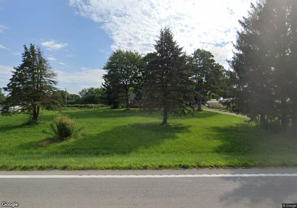
This home is located at 1040 Us Route 68 S, Xenia, OH 45385 and is currently estimated at $386,026, approximately $170 per square foot. 1040 Us Route 68 S is a home located in Greene County with nearby schools including Xenia High School, Summit Academy Community School for Alternative Learners - Xenia, and Legacy Christian Academy.
Ownership History
Date
Name
Owned For
Owner Type
Purchase Details
Closed on
Mar 11, 2020
Sold by
Hooper Ian A and Hooper Emily M
Bought by
Williams Amy and Williams Richard J
Current Estimated Value
Home Financials for this Owner
Home Financials are based on the most recent Mortgage that was taken out on this home.
Original Mortgage
$242,622
Outstanding Balance
$219,184
Interest Rate
4.62%
Mortgage Type
FHA
Estimated Equity
$166,842
Purchase Details
Closed on
Jun 3, 2019
Sold by
Newton Matthew C
Bought by
Hooper Ian A and Hooper Emily M
Home Financials for this Owner
Home Financials are based on the most recent Mortgage that was taken out on this home.
Original Mortgage
$241,000
Interest Rate
4.1%
Mortgage Type
VA
Purchase Details
Closed on
Apr 7, 2017
Sold by
Pack Jesse P
Bought by
Newton Matthew C
Home Financials for this Owner
Home Financials are based on the most recent Mortgage that was taken out on this home.
Original Mortgage
$185,250
Interest Rate
4.21%
Mortgage Type
Purchase Money Mortgage
Purchase Details
Closed on
Jun 4, 2015
Sold by
Caudill Pamela S and Caudill Henry F
Bought by
Pack Jesse P
Home Financials for this Owner
Home Financials are based on the most recent Mortgage that was taken out on this home.
Original Mortgage
$156,655
Interest Rate
0.78%
Mortgage Type
New Conventional
Purchase Details
Closed on
Oct 29, 2014
Sold by
Mann Madlyn S
Bought by
Caudill Pamela S
Create a Home Valuation Report for This Property
The Home Valuation Report is an in-depth analysis detailing your home's value as well as a comparison with similar homes in the area
Home Values in the Area
Average Home Value in this Area
Purchase History
| Date | Buyer | Sale Price | Title Company |
|---|---|---|---|
| Williams Amy | $251,000 | Vantage Land Title | |
| Hooper Ian A | $241,000 | Republic Title Agency Inc | |
| Newton Matthew C | $195,000 | None Available | |
| Pack Jesse P | $164,900 | None Available | |
| Caudill Pamela S | $22,500 | None Available |
Source: Public Records
Mortgage History
| Date | Status | Borrower | Loan Amount |
|---|---|---|---|
| Open | Williams Amy | $242,622 | |
| Previous Owner | Hooper Ian A | $241,000 | |
| Previous Owner | Newton Matthew C | $185,250 | |
| Previous Owner | Pack Jesse P | $156,655 |
Source: Public Records
Tax History Compared to Growth
Tax History
| Year | Tax Paid | Tax Assessment Tax Assessment Total Assessment is a certain percentage of the fair market value that is determined by local assessors to be the total taxable value of land and additions on the property. | Land | Improvement |
|---|---|---|---|---|
| 2024 | $4,556 | $93,740 | $18,850 | $74,890 |
| 2023 | $4,556 | $93,740 | $18,850 | $74,890 |
| 2022 | $3,986 | $74,320 | $16,390 | $57,930 |
| 2021 | $4,036 | $70,840 | $16,390 | $54,450 |
| 2020 | $3,697 | $70,840 | $16,390 | $54,450 |
| 2019 | $3,532 | $64,850 | $14,670 | $50,180 |
| 2018 | $3,545 | $64,850 | $14,670 | $50,180 |
| 2017 | $3,064 | $64,850 | $14,670 | $50,180 |
| 2016 | $3,064 | $55,090 | $14,140 | $40,950 |
| 2015 | $1,438 | $27,530 | $14,140 | $13,390 |
| 2014 | -- | $36,450 | $14,130 | $22,320 |
Source: Public Records
Map
Nearby Homes
- 821 Robin Rd
- 805 Robin Rd
- 841 Terri Dr
- 1056 Us Route 68 S
- 1000 Livingston Dr
- 808 Robin Rd
- 991 Valley Dale Dr
- 994 Us Route 68 S
- 861 Terri Dr
- 980 Livingston Dr
- 985 Valley Dale Dr
- 871 Terri Dr
- 980 Valley Dale Dr
- 978 Us Route 68 S
- 983 Livingston Dr
- 973 Valley Dale Dr
- 960 Livingston Dr
- 970 Valley Dale Dr
- 1 Robin Rd
- 841 Maple Dr