1040 Victoria St Antioch, IL 60002
Estimated Value: $270,525 - $342,000
2
Beds
2
Baths
1,350
Sq Ft
$219/Sq Ft
Est. Value
About This Home
This home is located at 1040 Victoria St, Antioch, IL 60002 and is currently estimated at $296,131, approximately $219 per square foot. 1040 Victoria St is a home located in Lake County with nearby schools including Antioch Community High School.
Ownership History
Date
Name
Owned For
Owner Type
Purchase Details
Closed on
Sep 23, 2009
Sold by
Derousse Frances K
Bought by
Clayton Margaret
Current Estimated Value
Purchase Details
Closed on
Feb 5, 1996
Sold by
Ellquist Kenneth K and Ellquist Lois C
Bought by
Derousse Frances K
Home Financials for this Owner
Home Financials are based on the most recent Mortgage that was taken out on this home.
Original Mortgage
$101,600
Interest Rate
7.06%
Create a Home Valuation Report for This Property
The Home Valuation Report is an in-depth analysis detailing your home's value as well as a comparison with similar homes in the area
Home Values in the Area
Average Home Value in this Area
Purchase History
| Date | Buyer | Sale Price | Title Company |
|---|---|---|---|
| Clayton Margaret | $188,000 | Blackhawk Title Services | |
| Derousse Frances K | $127,000 | Blackhawk Title Services |
Source: Public Records
Mortgage History
| Date | Status | Borrower | Loan Amount |
|---|---|---|---|
| Previous Owner | Derousse Frances K | $101,600 |
Source: Public Records
Tax History Compared to Growth
Tax History
| Year | Tax Paid | Tax Assessment Tax Assessment Total Assessment is a certain percentage of the fair market value that is determined by local assessors to be the total taxable value of land and additions on the property. | Land | Improvement |
|---|---|---|---|---|
| 2024 | $6,294 | $72,795 | $9,937 | $62,858 |
| 2023 | $6,388 | $65,182 | $8,898 | $56,284 |
| 2022 | $6,388 | $62,877 | $10,016 | $52,861 |
| 2021 | $5,907 | $58,670 | $9,346 | $49,324 |
| 2020 | $5,780 | $57,050 | $9,088 | $47,962 |
| 2019 | $5,854 | $54,557 | $8,691 | $45,866 |
| 2018 | $5,563 | $52,629 | $10,254 | $42,375 |
| 2017 | $5,448 | $50,094 | $9,760 | $40,334 |
| 2016 | $5,302 | $48,344 | $9,419 | $38,925 |
| 2015 | $5,171 | $47,114 | $9,179 | $37,935 |
| 2014 | $5,413 | $50,815 | $16,375 | $34,440 |
| 2012 | $5,348 | $52,627 | $16,375 | $36,252 |
Source: Public Records
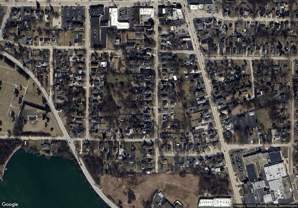
Map
Nearby Homes
- 431 Filweber Ct
- 1009 Osmond Ave
- 316 Buena Terrace
- 0 Anita Ave Unit MRD12354735
- 1207 Main St
- 770 Anita Ave
- 152 E Depot St
- 0 Highview Dr Unit MRD11912210
- 672 Garys Dr
- 775 Highview Ct
- 168 Tree Line
- 68 Burnette Dr
- 56 Burnette Dr
- 49 Burnette Dr
- 52 Burnette Dr
- 73 W Old Mill Trail
- 44 Burnette Dr
- 24251 W Bayview Rd
- 45 Van Dyke Dr
- 41085 N 1st St
- 1046 Victoria St
- 1034 Victoria St
- 1026 Victoria St
- 1054 Victoria St
- 1022 Victoria St
- 1060 Victoria St
- 1049 Spafford St
- 1049 Spafford St
- 375 Harden St
- 1014 Victoria St
- 415 Harden St
- 1037 Victoria St
- 1027 Victoria St
- 1043 Victoria St
- 1023 Victoria St
- 1049 Victoria St
- 1061 Victoria St
- 419 Harden St
- 1015 Victoria St
- 1055 Victoria St