1040 W Garfield Ave S Cle Elum, WA 98922
Estimated Value: $995,000 - $1,232,000
3
Beds
3
Baths
3,178
Sq Ft
$341/Sq Ft
Est. Value
About This Home
This home is located at 1040 W Garfield Ave S, Cle Elum, WA 98922 and is currently estimated at $1,085,062, approximately $341 per square foot. 1040 W Garfield Ave S is a home with nearby schools including Cle Elum Roslyn Elementary School, Walter Strom Middle School, and Cle Elum Roslyn High School.
Ownership History
Date
Name
Owned For
Owner Type
Purchase Details
Closed on
Jul 11, 2013
Sold by
Peterson Lorin D and Peterson Karen L
Bought by
Ridlon Tracy R and Ridlon Julana A
Current Estimated Value
Home Financials for this Owner
Home Financials are based on the most recent Mortgage that was taken out on this home.
Original Mortgage
$308,175
Outstanding Balance
$222,852
Interest Rate
3.79%
Mortgage Type
New Conventional
Estimated Equity
$862,210
Create a Home Valuation Report for This Property
The Home Valuation Report is an in-depth analysis detailing your home's value as well as a comparison with similar homes in the area
Home Values in the Area
Average Home Value in this Area
Purchase History
| Date | Buyer | Sale Price | Title Company |
|---|---|---|---|
| Ridlon Tracy R | $404,500 | Amerititle |
Source: Public Records
Mortgage History
| Date | Status | Borrower | Loan Amount |
|---|---|---|---|
| Open | Ridlon Tracy R | $308,175 |
Source: Public Records
Tax History Compared to Growth
Tax History
| Year | Tax Paid | Tax Assessment Tax Assessment Total Assessment is a certain percentage of the fair market value that is determined by local assessors to be the total taxable value of land and additions on the property. | Land | Improvement |
|---|---|---|---|---|
| 2025 | $5,400 | $947,760 | $183,600 | $764,160 |
| 2023 | $5,400 | $804,680 | $135,600 | $669,080 |
| 2022 | $4,911 | $678,550 | $130,400 | $548,150 |
| 2021 | $4,927 | $649,630 | $100,400 | $549,230 |
| 2019 | $3,861 | $390,230 | $61,800 | $328,430 |
| 2018 | $3,140 | $390,230 | $61,800 | $328,430 |
| 2017 | $3,140 | $390,230 | $61,800 | $328,430 |
| 2016 | $3,149 | $390,230 | $61,800 | $328,430 |
| 2015 | $3,261 | $390,230 | $61,800 | $328,430 |
| 2013 | -- | $400,250 | $70,400 | $329,850 |
Source: Public Records
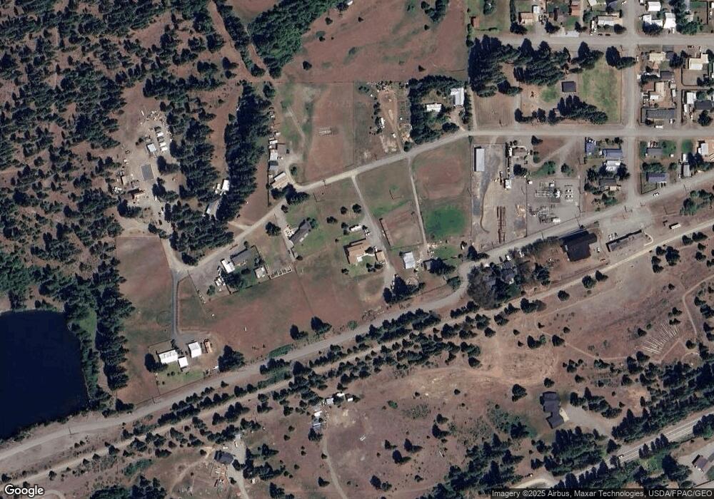
Map
Nearby Homes
- 713 Main St
- 811 Lincoln Ave
- 0 NKA Milwaukee Ave
- 0 XXX Westside Rd
- 911 Westside Rd
- 513 Cleveland Ave
- 505 6th St
- 501 Cleveland Ave
- 641 Mountain Creek Dr
- 0 XXX Unknown
- 208 Sage Brook Ln
- 220 Sage Brook Ln
- 491 Pease Rd
- 70 Farmhouse Way
- 510 Power St
- 404 W 2nd St
- 601 Roslyn Place
- 581 Canyon Heights Dr
- 406 W 1st St
- 605 Ronald Ave
- 1130 W Garfield Ave S
- 1101 Garfield Ave
- 1101 Garfield Ave
- 809 N Milwaukee Ave S
- 807 Milwaukee Ave
- 805 Milwaukee Ave
- 811 Garfield Ave
- 1261 Garfield Ave
- 335 Westside Rd
- 241 Westside Rd
- 806 Main St S
- 812 Main St
- 804 Main St
- 812 Madison Ave
- 17 -19 Garfield Ave
- 804 Madison Ave
- 813 Cleveland Ave S
- 713 Garfield Ave
- 802 Madison Ave
- 710 Milwaukee Ave