Estimated Value: $144,000 - $173,000
2
Beds
1
Bath
1,016
Sq Ft
$158/Sq Ft
Est. Value
About This Home
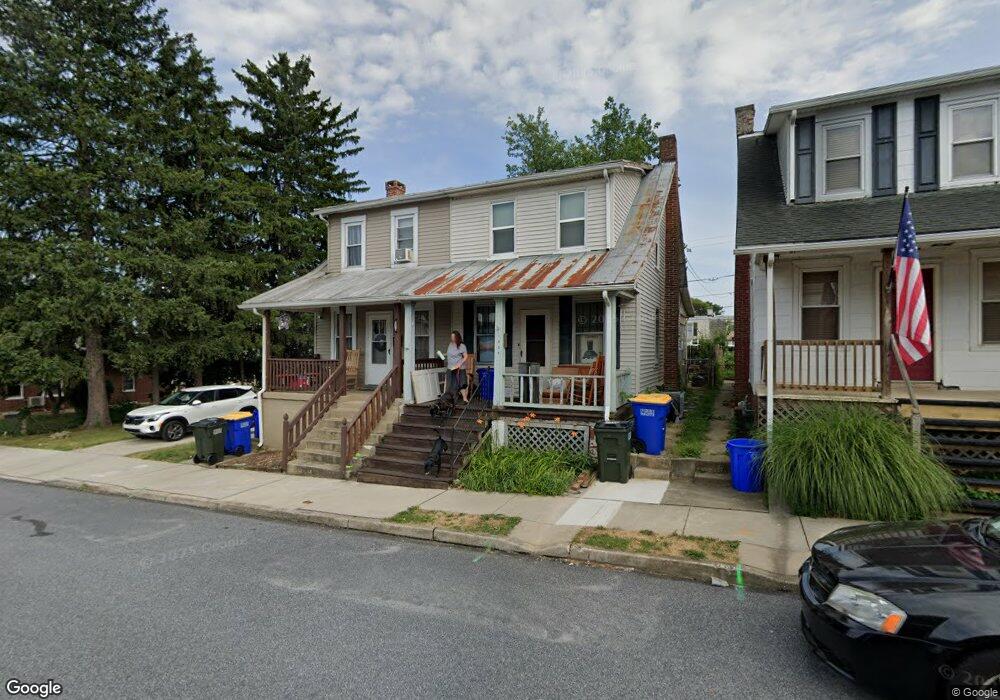
This home is located at 1040 W Locust St, York, PA 17404 and is currently estimated at $160,523, approximately $157 per square foot. 1040 W Locust St is a home located in York County with nearby schools including West York Area High School, Lincoln Charter School, and York Country Day School.
Ownership History
Date
Name
Owned For
Owner Type
Purchase Details
Closed on
Dec 23, 2003
Sold by
Gilbert Ernest J and Gilbert Irene M
Bought by
Jordan Samuel C
Current Estimated Value
Home Financials for this Owner
Home Financials are based on the most recent Mortgage that was taken out on this home.
Original Mortgage
$51,410
Outstanding Balance
$24,039
Interest Rate
6.01%
Mortgage Type
Purchase Money Mortgage
Estimated Equity
$136,484
Purchase Details
Closed on
Sep 19, 1997
Bought by
Gilbert Ernest J and Gilbert Irene M
Create a Home Valuation Report for This Property
The Home Valuation Report is an in-depth analysis detailing your home's value as well as a comparison with similar homes in the area
Home Values in the Area
Average Home Value in this Area
Purchase History
| Date | Buyer | Sale Price | Title Company |
|---|---|---|---|
| Jordan Samuel C | $53,000 | -- | |
| Gilbert Ernest J | $50,000 | -- |
Source: Public Records
Mortgage History
| Date | Status | Borrower | Loan Amount |
|---|---|---|---|
| Open | Jordan Samuel C | $51,410 |
Source: Public Records
Tax History Compared to Growth
Tax History
| Year | Tax Paid | Tax Assessment Tax Assessment Total Assessment is a certain percentage of the fair market value that is determined by local assessors to be the total taxable value of land and additions on the property. | Land | Improvement |
|---|---|---|---|---|
| 2025 | $2,181 | $64,690 | $25,820 | $38,870 |
| 2024 | $2,127 | $64,690 | $25,820 | $38,870 |
| 2023 | $2,127 | $64,690 | $25,820 | $38,870 |
| 2022 | $2,127 | $64,690 | $25,820 | $38,870 |
| 2021 | $2,062 | $64,690 | $25,820 | $38,870 |
| 2020 | $2,062 | $64,690 | $25,820 | $38,870 |
| 2019 | $2,023 | $64,690 | $25,820 | $38,870 |
| 2018 | $2,007 | $64,690 | $25,820 | $38,870 |
| 2017 | $1,945 | $64,690 | $25,820 | $38,870 |
| 2016 | $0 | $64,690 | $25,820 | $38,870 |
| 2015 | -- | $64,690 | $25,820 | $38,870 |
| 2014 | -- | $64,690 | $25,820 | $38,870 |
Source: Public Records
Map
Nearby Homes
- 1023 W Locust St
- 1108 W College Ave
- 1111 W Princess St
- 932 W College Ave
- 1206 W Poplar St
- 919 W College Ave
- 908 W Princess St
- 908 W College Ave
- 1211 W Poplar St
- 1221 W Poplar St
- 828 W Princess St
- 1250 W King St
- 811 W Poplar St
- 1126 W Market St
- 46 S Royal St
- 1341 Salem Rd
- 19 Carlisle Ave
- 217 S West St
- 231 S West St
- 716 W Philadelphia St
- 1038 W Locust St
- 1042 W Locust St
- 1036 W Locust St
- 1037 W College Ave
- 1035 W College Ave
- 1022 W Locust St
- 1029 W Locust St
- 1039 W College Ave
- 1033 W College Ave
- 1041 W College Ave
- 1043 W College Ave
- 1027 W College Ave Unit 1
- 1027 W College Ave
- 250 Dewey St
- 1025 W College Ave
- 1027 W Locust St
- 1019 W College Ave
- 1017 W College Ave
- 1103 W College Ave
- 1018 W Locust St