1040 Wesley Ln Union Point, GA 30669
Estimated Value: $182,983 - $261,000
--
Bed
--
Bath
1,288
Sq Ft
$178/Sq Ft
Est. Value
About This Home
This home is located at 1040 Wesley Ln, Union Point, GA 30669 and is currently estimated at $228,996, approximately $177 per square foot. 1040 Wesley Ln is a home with nearby schools including Greene County High School.
Ownership History
Date
Name
Owned For
Owner Type
Purchase Details
Closed on
Oct 19, 2021
Sold by
Slt Holdings Llc
Bought by
Lumpkin Derrick and Lumpkin Elisa
Current Estimated Value
Home Financials for this Owner
Home Financials are based on the most recent Mortgage that was taken out on this home.
Original Mortgage
$143,467
Outstanding Balance
$130,417
Interest Rate
2.88%
Mortgage Type
FHA
Estimated Equity
$98,579
Purchase Details
Closed on
Apr 15, 2014
Sold by
Smith Louis
Bought by
Slt Holdings Llc
Purchase Details
Closed on
Jul 16, 2004
Sold by
Bryan Charles Earl
Bought by
Smith Louis--Sale Incl
Purchase Details
Closed on
Jan 1, 1987
Sold by
Smith W L
Bought by
Bryan Charles Earl
Purchase Details
Closed on
Jan 1, 1986
Sold by
Moon Moon W and Moon Evelyn
Bought by
Smith W L
Purchase Details
Closed on
Jan 1, 1973
Bought by
Moon Moon W and Moon Evelyn
Create a Home Valuation Report for This Property
The Home Valuation Report is an in-depth analysis detailing your home's value as well as a comparison with similar homes in the area
Home Values in the Area
Average Home Value in this Area
Purchase History
| Date | Buyer | Sale Price | Title Company |
|---|---|---|---|
| Lumpkin Derrick | $157,000 | -- | |
| Slt Holdings Llc | $40,000 | -- | |
| Smith Louis--Sale Incl | -- | -- | |
| Bryan Charles Earl | -- | -- | |
| Smith W L | -- | -- | |
| Moon Moon W | -- | -- |
Source: Public Records
Mortgage History
| Date | Status | Borrower | Loan Amount |
|---|---|---|---|
| Open | Lumpkin Derrick | $143,467 |
Source: Public Records
Tax History Compared to Growth
Tax History
| Year | Tax Paid | Tax Assessment Tax Assessment Total Assessment is a certain percentage of the fair market value that is determined by local assessors to be the total taxable value of land and additions on the property. | Land | Improvement |
|---|---|---|---|---|
| 2024 | $1,388 | $72,560 | $4,160 | $68,400 |
| 2023 | $1,303 | $67,800 | $3,480 | $64,320 |
| 2022 | $1,225 | $58,880 | $2,680 | $56,200 |
| 2021 | $76 | $2,720 | $2,680 | $40 |
| 2020 | $61 | $1,760 | $1,720 | $40 |
| 2019 | $65 | $1,760 | $1,720 | $40 |
| 2018 | $65 | $1,760 | $1,720 | $40 |
| 2017 | $63 | $1,792 | $1,752 | $40 |
| 2016 | $63 | $1,792 | $1,752 | $40 |
| 2015 | $16 | $1,792 | $1,752 | $40 |
| 2014 | $19 | $916 | $876 | $40 |
Source: Public Records
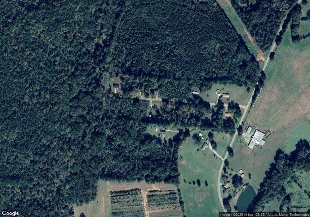
Map
Nearby Homes
- 1860 Washington Hwy
- 0 Woodland Ct Unit 10543600
- 215 Hunter St
- 324 N Rhodes St
- 202 Veazey St
- 0 Washington Hwy Unit 7276060
- 112 Hendry St
- 0 S Rhodes St Unit 10618488
- 1041 Hillcrest Dr
- 1241 Old Siloam Rd
- 1251 Adams Rd
- 5401 Union Point Hwy
- 1201 Buffalo Lick Rd
- 0 Buffalo Lick Rd Unit 10551234
- 0 Buffalo Lick Rd Unit 10551325
- 1581 Highway 77 S Hwy
- 1581 Highway 77 S
- 0 Old Union Point Rd Unit 1 10557753
- 1110 Woodland Ln
- 1110 Woodland Way
- 1030 Wesley Ln
- 1041 Wesley Rd
- 1041 Wesley Ln
- 2783 Temperance Bell Rd
- 1051 Wesley Ln
- 1020 Wesley Ln
- 1061 Wesley Ln
- 1010 Wesley Ln
- 2781 Temperance Bell Rd
- 2781 Temperence Bell Rd
- 2751 Temperence Bell Rd
- 2771 Temperence Bell Rd
- 2840 Temperance Bell Rd
- 2891 Temperence Bell Rd
- 2960 Temperance Bell Rd
- 1610 Washington Hwy
- 2980 Temperence Bell Rd
- 2590 Temperance Bell Rd
- 1491 Washington Hwy
- 1531 Washington Hwy