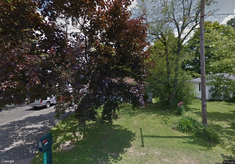
1040 Woodside Dr Mansfield, OH 44906
Estimated Value: $89,000 - $103,000
2
Beds
1
Bath
720
Sq Ft
$132/Sq Ft
Est. Value
About This Home
This home is located at 1040 Woodside Dr, Mansfield, OH 44906 and is currently estimated at $94,812, approximately $131 per square foot. 1040 Woodside Dr is a home located in Richland County with nearby schools including Foundation Academy, Mansfield Elective Academy, and Goal Digital Academy.
Ownership History
Date
Name
Owned For
Owner Type
Purchase Details
Closed on
May 6, 2005
Sold by
King Sarah L and King Joseph W
Bought by
Watson Steven R
Current Estimated Value
Home Financials for this Owner
Home Financials are based on the most recent Mortgage that was taken out on this home.
Original Mortgage
$47,000
Outstanding Balance
$24,961
Interest Rate
6.13%
Mortgage Type
Fannie Mae Freddie Mac
Estimated Equity
$69,851
Purchase Details
Closed on
Nov 7, 2000
Sold by
Dellevar Patsy A
Bought by
Sturts Sarah L
Home Financials for this Owner
Home Financials are based on the most recent Mortgage that was taken out on this home.
Original Mortgage
$39,600
Interest Rate
7.75%
Mortgage Type
New Conventional
Create a Home Valuation Report for This Property
The Home Valuation Report is an in-depth analysis detailing your home's value as well as a comparison with similar homes in the area
Home Values in the Area
Average Home Value in this Area
Purchase History
| Date | Buyer | Sale Price | Title Company |
|---|---|---|---|
| Watson Steven R | $52,000 | Chicago Title | |
| Sturts Sarah L | $44,000 | -- |
Source: Public Records
Mortgage History
| Date | Status | Borrower | Loan Amount |
|---|---|---|---|
| Open | Watson Steven R | $47,000 | |
| Previous Owner | Sturts Sarah L | $39,600 |
Source: Public Records
Tax History Compared to Growth
Tax History
| Year | Tax Paid | Tax Assessment Tax Assessment Total Assessment is a certain percentage of the fair market value that is determined by local assessors to be the total taxable value of land and additions on the property. | Land | Improvement |
|---|---|---|---|---|
| 2024 | $1,077 | $19,190 | $3,120 | $16,070 |
| 2023 | $1,077 | $19,190 | $3,120 | $16,070 |
| 2022 | $1,069 | $15,670 | $2,960 | $12,710 |
| 2021 | $1,075 | $15,670 | $2,960 | $12,710 |
| 2020 | $1,095 | $15,670 | $2,960 | $12,710 |
| 2019 | $1,041 | $13,280 | $2,510 | $10,770 |
| 2018 | $983 | $13,280 | $2,510 | $10,770 |
| 2017 | $981 | $13,280 | $2,510 | $10,770 |
| 2016 | $1,004 | $13,420 | $2,570 | $10,850 |
| 2015 | $941 | $13,420 | $2,570 | $10,850 |
| 2014 | $930 | $13,420 | $2,570 | $10,850 |
| 2012 | $388 | $14,120 | $2,700 | $11,420 |
Source: Public Records
Map
Nearby Homes
- 933 Fairfax Ave
- 946 Belmont Ave
- 1170 Fairfax Ave
- 874 Fairfax Ave
- 1169 Seminole Ave
- 1168 & 1171 Seminole Ave
- 1592 Walker Woods Blvd
- 0 Walker Lake Rd
- 641 Averill Ave
- 1631 Deer View Cir
- Lot 2 Spring Village Ln
- 0 Stone Rd
- 1645 Spring Village Ln
- 0 Spring Village Ln
- 356 Warren Rd
- 340 Boston Ave
- 1396 Spring Village Dr Unit 1398
- 0 Highway 30
- 0 State Route 314 Unit 9069650
- 0 State Route 314 Unit 9067316
- 1046 Woodside Dr
- 1034 Woodside Dr
- 1116 Fir Dr
- 1028 Woodside Dr
- 1039 Woodside Dr
- 1039 Woodside Dr
- 1053 Truxell Dr
- 1035 Woodside Dr
- 1031 Woodside Dr
- 1031 Truxell Dr
- 1051 Woodside Dr
- 1115 Fir Dr
- 1067 Woodside Dr
- 1012 Woodside Dr
- 1061 Truxell Dr
- 1021 Woodside Dr
- 1070 Woodside Dr
- 1004 Woodside Dr
- 1011 Truxell Dr
- 1084 Fir Dr