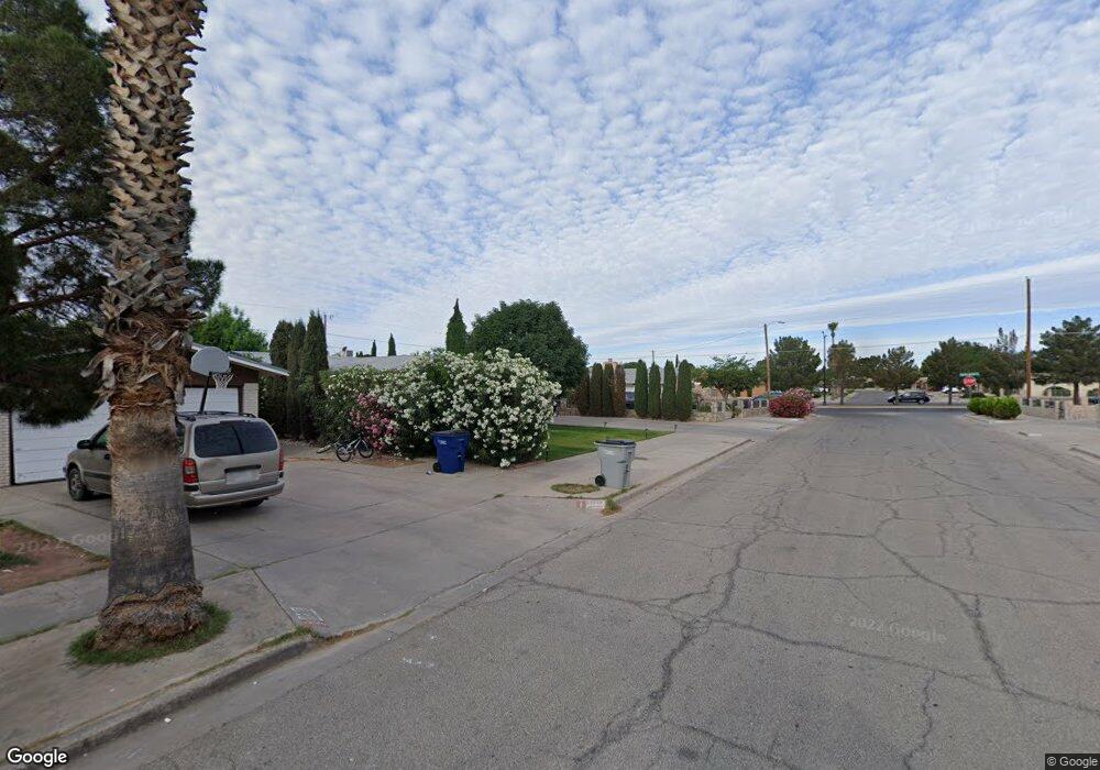
10400 Maxwood Dr El Paso, TX 79935
Pico Norte NeighborhoodEstimated Value: $206,000 - $238,000
--
Bed
2
Baths
1,421
Sq Ft
$154/Sq Ft
Est. Value
About This Home
This home is located at 10400 Maxwood Dr, El Paso, TX 79935 and is currently estimated at $218,670, approximately $153 per square foot. 10400 Maxwood Dr is a home located in El Paso County with nearby schools including East Point Elementary School, Eastwood Middle School, and Eastwood High School.
Ownership History
Date
Name
Owned For
Owner Type
Purchase Details
Closed on
Mar 5, 2020
Sold by
Johnson Heather Cavey and Estate Of Dolores Cavey
Bought by
Lopez David
Current Estimated Value
Home Financials for this Owner
Home Financials are based on the most recent Mortgage that was taken out on this home.
Original Mortgage
$50,772
Outstanding Balance
$35,158
Interest Rate
3.5%
Mortgage Type
New Conventional
Estimated Equity
$183,512
Create a Home Valuation Report for This Property
The Home Valuation Report is an in-depth analysis detailing your home's value as well as a comparison with similar homes in the area
Home Values in the Area
Average Home Value in this Area
Purchase History
| Date | Buyer | Sale Price | Title Company |
|---|---|---|---|
| Lopez David | -- | None Available |
Source: Public Records
Mortgage History
| Date | Status | Borrower | Loan Amount |
|---|---|---|---|
| Open | Lopez David | $50,772 |
Source: Public Records
Tax History Compared to Growth
Tax History
| Year | Tax Paid | Tax Assessment Tax Assessment Total Assessment is a certain percentage of the fair market value that is determined by local assessors to be the total taxable value of land and additions on the property. | Land | Improvement |
|---|---|---|---|---|
| 2025 | $5,485 | $224,117 | $52,920 | $171,197 |
| 2024 | $5,485 | $199,705 | $28,508 | $171,197 |
| 2023 | $5,629 | $193,413 | $28,508 | $164,905 |
| 2022 | $5,351 | $172,316 | $28,508 | $143,808 |
| 2021 | $4,818 | $148,223 | $28,508 | $119,715 |
| 2020 | $4,109 | $130,093 | $21,929 | $108,164 |
| 2018 | $4,052 | $130,287 | $21,929 | $108,358 |
| 2017 | $3,650 | $119,413 | $21,929 | $97,484 |
| 2016 | $3,525 | $115,309 | $21,929 | $93,380 |
| 2015 | $2,519 | $115,309 | $21,929 | $93,380 |
| 2014 | $2,519 | $124,754 | $21,929 | $102,825 |
Source: Public Records
Map
Nearby Homes
- 2412 Penwood Dr
- 10309 Woodruff Ct
- 10304 Woodruff Ct
- 10512 Album Ave
- 2224 Escarpa Dr
- 2701 Brady Place
- 10313 Byway Dr
- 10145 Camwood Dr
- 2801 Brady Place
- 10233 Byway Dr
- 2105 Pacheco Dr
- 3000 Woodall St
- 2912 Chaswood St
- 10145 Singapore Ave
- 2705 Fierro Dr
- 1909 Crow Dr
- 10140 Suez Dr
- 2109 Febrero Dr
- 10603 Park View Cir
- 10304 Blackwood Ave
- 10404 Maxwood Dr
- 10401 Ashwood Dr Unit AB
- 10401 Ashwood Dr
- 10403 Ashwood Dr
- 10405 Ashwood Dr Unit A
- 10405 Ashwood Dr Unit B
- 10408 Maxwood Dr
- 10407 Ashwood Dr
- 10411 Ashwood Dr
- 10401 Maxwood Dr
- 10401 Maxwood Dr
- 10405 Maxwood Dr
- 10316 Maxwood Dr
- 10409 Ashwood Dr
- 10409 Maxwood Dr
- 10413 Ashwood Dr Unit B
- 10413 Ashwood Dr Unit A
- 10413 Maxwood Dr
- 10317 Maxwood Dr
- 10312 Maxwood Dr