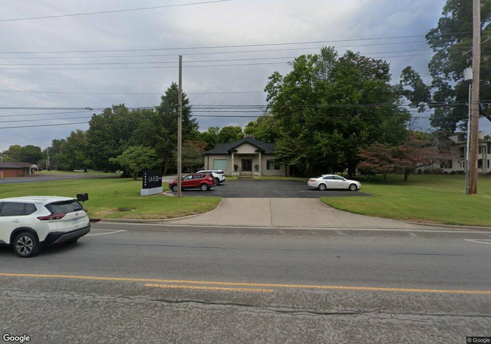
10400 State Route 662 W Newburgh, IN 47630
Estimated Value: $388,803
--
Bed
--
Bath
4,100
Sq Ft
$95/Sq Ft
Est. Value
About This Home
This home is located at 10400 State Route 662 W, Newburgh, IN 47630 and is currently estimated at $388,803, approximately $94 per square foot. 10400 State Route 662 W is a home located in Warrick County with nearby schools including Newburgh Elementary School, Castle North Middle School, and Castle High School.
Ownership History
Date
Name
Owned For
Owner Type
Purchase Details
Closed on
Mar 2, 2018
Sold by
Hill John H and Hill Norma J
Bought by
Courtney Marie Holdings Llc
Current Estimated Value
Home Financials for this Owner
Home Financials are based on the most recent Mortgage that was taken out on this home.
Original Mortgage
$255,000
Outstanding Balance
$73,968
Interest Rate
4.15%
Mortgage Type
Future Advance Clause Open End Mortgage
Estimated Equity
$314,835
Create a Home Valuation Report for This Property
The Home Valuation Report is an in-depth analysis detailing your home's value as well as a comparison with similar homes in the area
Home Values in the Area
Average Home Value in this Area
Purchase History
| Date | Buyer | Sale Price | Title Company |
|---|---|---|---|
| Courtney Marie Holdings Llc | -- | None Available |
Source: Public Records
Mortgage History
| Date | Status | Borrower | Loan Amount |
|---|---|---|---|
| Open | Courtney Marie Holdings Llc | $255,000 |
Source: Public Records
Tax History Compared to Growth
Tax History
| Year | Tax Paid | Tax Assessment Tax Assessment Total Assessment is a certain percentage of the fair market value that is determined by local assessors to be the total taxable value of land and additions on the property. | Land | Improvement |
|---|---|---|---|---|
| 2024 | $4,295 | $294,400 | $48,900 | $245,500 |
| 2023 | $4,225 | $284,000 | $43,400 | $240,600 |
| 2022 | $4,806 | $329,400 | $43,400 | $286,000 |
| 2021 | $4,708 | $299,100 | $41,900 | $257,200 |
| 2020 | $4,615 | $276,900 | $38,900 | $238,000 |
| 2019 | $4,543 | $280,500 | $38,900 | $241,600 |
| 2018 | $4,307 | $263,000 | $60,200 | $202,800 |
| 2017 | $4,167 | $255,800 | $60,200 | $195,600 |
| 2016 | $4,565 | $307,400 | $60,200 | $247,200 |
| 2014 | $4,630 | $303,900 | $47,400 | $256,500 |
| 2013 | $5,167 | $347,000 | $47,400 | $299,600 |
Source: Public Records
Map
Nearby Homes
- 5655 Garden Valley Rd
- 10386 Regent Ct
- 5111 Tippecanoe Dr
- 5833 Lenbeck Rd
- 6077 River Bluff Dr
- 9954 Monte Way
- 6066 Indian Dr
- 4856 Marble Dr
- 5633 Byerson Dr
- 4940 Penrose Dr
- 9860 Pollack Ave
- 9954 Ella Cir
- 4893 Penrose Dr
- 9655 Arlington Ct
- 1014 Kingswood Dr
- 10480 Waterford Place
- 4680 Marble Dr
- Lot 11 Westbriar Cir
- Lot 33 Westbriar Cir
- 7920 Newburgh Rd
- 10388 Indiana 662
- 5565 Prestwick Ct
- 5561 Prestwick Ct
- 10455 State Route 662 W
- 5600 Epworth Rd
- 5557 Prestwick Ct
- 5580 Prestwick Ct
- 5611 Garden Valley Rd
- 10383 Saint Andrews Ct
- 5574 Prestwick Ct
- 5588 Prestwick Ct
- 10380 Saint Andrews Ct
- 10382 Saint Andrews Ct
- 10788 State Route 662 W
- 5622 Epworth Rd
- 5584 Prestwick Ct
- 10389 Regent Ct
- 10384 Saint Andrews Ct
- 5366 Epworth Rd
- 10381 Saint Andrews Ct