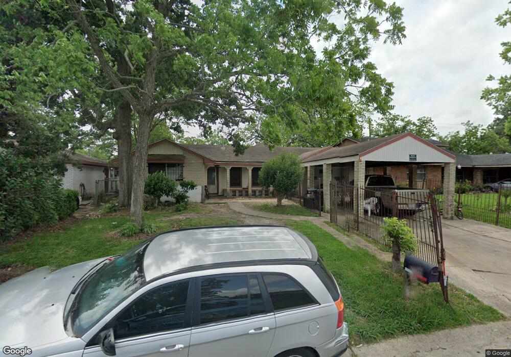
10401 Kelburn Dr Houston, TX 77016
East Little York NeighborhoodEstimated Value: $173,663 - $211,000
3
Beds
2
Baths
1,738
Sq Ft
$112/Sq Ft
Est. Value
About This Home
This home is located at 10401 Kelburn Dr, Houston, TX 77016 and is currently estimated at $194,666, approximately $112 per square foot. 10401 Kelburn Dr is a home located in Harris County with nearby schools including Shadydale Elementary School, Forest Brook Middle, and North Forest High School.
Ownership History
Date
Name
Owned For
Owner Type
Purchase Details
Closed on
Jul 17, 1995
Sold by
Davis Mathis L and Davis Lakeisha R
Bought by
Gladden Rowena Davis
Current Estimated Value
Purchase Details
Closed on
Jul 14, 1995
Sold by
Davis Mathis and Davis Lakeisha R
Bought by
Gladden Rowena Davis
Purchase Details
Closed on
Jun 14, 1994
Sold by
Evans Richard Errol and Evans Mary Ford
Bought by
Gladden James and Gladden Rowena Davis
Create a Home Valuation Report for This Property
The Home Valuation Report is an in-depth analysis detailing your home's value as well as a comparison with similar homes in the area
Home Values in the Area
Average Home Value in this Area
Purchase History
| Date | Buyer | Sale Price | Title Company |
|---|---|---|---|
| Gladden Rowena Davis | -- | -- | |
| Gladden Rowena Davis | -- | Advanced Title Works | |
| Gladden James | -- | Stewart Title |
Source: Public Records
Tax History Compared to Growth
Tax History
| Year | Tax Paid | Tax Assessment Tax Assessment Total Assessment is a certain percentage of the fair market value that is determined by local assessors to be the total taxable value of land and additions on the property. | Land | Improvement |
|---|---|---|---|---|
| 2025 | $2,276 | $111,879 | $52,186 | $59,693 |
| 2024 | $2,276 | $125,726 | $52,186 | $73,540 |
| 2023 | $2,276 | $166,625 | $43,188 | $123,437 |
| 2022 | $2,261 | $134,439 | $35,990 | $98,449 |
| 2021 | $2,176 | $118,845 | $26,993 | $91,852 |
| 2020 | $2,055 | $106,773 | $18,715 | $88,058 |
| 2019 | $1,952 | $100,320 | $12,309 | $88,011 |
| 2018 | $194 | $78,671 | $12,309 | $66,362 |
| 2017 | $1,612 | $78,671 | $12,309 | $66,362 |
| 2016 | $1,466 | $78,671 | $12,309 | $66,362 |
| 2015 | $100 | $63,776 | $12,309 | $51,467 |
| 2014 | $100 | $51,655 | $12,309 | $39,346 |
Source: Public Records
Map
Nearby Homes
- 10317 Kelburn Dr
- 7226 Gore Dr
- 7210 Colton St
- 10430 Royal Oaks Dr
- 10201 Homestead Rd
- 7234 Boggess Rd
- 10128 Homestead Rd
- 10124 Homestead Rd
- 10313 Blades St
- 10806 Bird of Paradise Ln
- 10808 Bird of Paradise Ln
- 10810 Bird of Paradise Ln
- 10538 Royal Oaks Dr
- 10120 Homestead Rd
- 10526 Hollyglen Dr
- 10122 Rockaway Dr
- 10434 Envoy St
- 10535 Hollyglen Dr
- 10221 Bretton Dr
- 7818 Laurel Gem Dr
- 10405 Kelburn Dr
- 10333 Kelburn Dr
- 10402 Homestead Rd
- 10409 Kelburn Dr
- 10329 Kelburn Dr
- 10338 Homestead Rd
- 10406 Homestead Rd
- 10334 Homestead Rd
- 10402 Kelburn Dr
- 10410 Homestead Rd
- 7203 Gore Dr
- 10325 Kelburn Dr
- 10413 Kelburn Dr
- 10406 Kelburn Dr
- 10330 Homestead Rd
- 10414 Homestead Rd
- 7209 Gore Dr
- 10410 Kelburn Dr
- 10321 Kelburn Dr
- 10417 Kelburn Dr