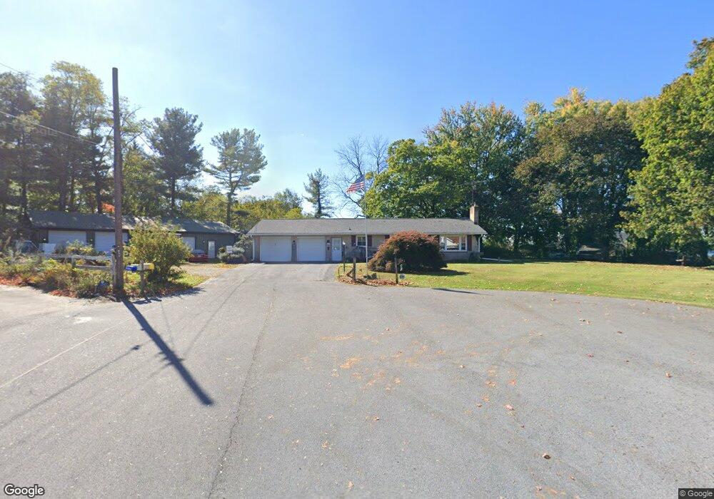
10401 Mikie Dr Williamsport, MD 21795
Estimated Value: $293,000 - $331,000
--
Bed
1
Bath
1,148
Sq Ft
$274/Sq Ft
Est. Value
About This Home
This home is located at 10401 Mikie Dr, Williamsport, MD 21795 and is currently estimated at $314,747, approximately $274 per square foot. 10401 Mikie Dr is a home located in Washington County with nearby schools including Fountain Rock Elementary School, Springfield Middle School, and Williamsport High School.
Ownership History
Date
Name
Owned For
Owner Type
Purchase Details
Closed on
Dec 2, 1996
Sold by
Long David M
Bought by
Martz Lloyd D and Martz Jodi A
Current Estimated Value
Purchase Details
Closed on
Mar 21, 1990
Sold by
Kennedy Arthur G
Bought by
Long David M
Home Financials for this Owner
Home Financials are based on the most recent Mortgage that was taken out on this home.
Original Mortgage
$87,550
Interest Rate
10.34%
Create a Home Valuation Report for This Property
The Home Valuation Report is an in-depth analysis detailing your home's value as well as a comparison with similar homes in the area
Home Values in the Area
Average Home Value in this Area
Purchase History
| Date | Buyer | Sale Price | Title Company |
|---|---|---|---|
| Martz Lloyd D | $115,000 | -- | |
| Long David M | $103,000 | -- |
Source: Public Records
Mortgage History
| Date | Status | Borrower | Loan Amount |
|---|---|---|---|
| Previous Owner | Long David M | $87,550 |
Source: Public Records
Tax History Compared to Growth
Tax History
| Year | Tax Paid | Tax Assessment Tax Assessment Total Assessment is a certain percentage of the fair market value that is determined by local assessors to be the total taxable value of land and additions on the property. | Land | Improvement |
|---|---|---|---|---|
| 2025 | $2,156 | $223,867 | $0 | $0 |
| 2024 | $2,156 | $208,233 | $0 | $0 |
| 2023 | $1,994 | $192,600 | $66,900 | $125,700 |
| 2022 | $1,962 | $189,467 | $0 | $0 |
| 2021 | $1,933 | $186,333 | $0 | $0 |
| 2020 | $1,933 | $183,200 | $61,900 | $121,300 |
| 2019 | $1,942 | $183,200 | $61,900 | $121,300 |
| 2018 | $1,942 | $183,200 | $61,900 | $121,300 |
| 2017 | $2,069 | $195,200 | $0 | $0 |
| 2016 | -- | $190,033 | $0 | $0 |
| 2015 | -- | $184,867 | $0 | $0 |
| 2014 | $1,687 | $179,700 | $0 | $0 |
Source: Public Records
Map
Nearby Homes
- 10608 Hershey Dr
- 10642 Hershey Dr
- 10701 Bratton Ct
- 10730 Hershey Dr
- 10808 Archer Ln
- 10813 Wilcox Dr
- 10818 Anderson Dr
- 11015 Donelson Dr
- 16722 Custer Ct
- 10122 Wilkes Dr
- 10744 Apple Tree Ln
- 10135 Wilkes Dr
- 10123 Wilkes Dr
- 10127 Wilkes Dr
- Hemingway Plan at Elmwood Farm
- Alexandrite Plan at Elmwood Farm - Seasons
- Pearl Plan at Elmwood Farm - Seasons
- 10705 Timothy Dr
- 17218 Tamarack Dr
- 16040 Cloverton Ln
- 10404 Mikie Dr
- 16720 Edward Doub Rd
- 10403 Mikie Dr
- 10410 Mikie Dr
- 16724 Edward Doub Rd
- 10405 Mikie Dr
- 16712 Edward Doub Rd
- 10412 Mikie Dr
- 16723 Sterling Rd
- 16736 Edward Doub Rd
- 16706 Edward Doub Rd
- 16729 Sterling Rd
- 16707 Edward Doub Rd
- 16716 Sterling Rd
- 16714 Sterling Rd
- 16733 Sterling Rd
- 16720 Sterling Rd
- 16741 Sterling Rd
- 16724 Sterling Rd
- 16737 Sterling Rd