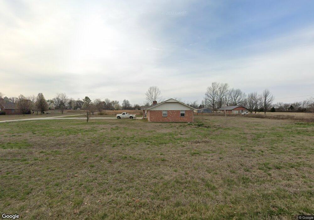
10402 E 450 Rd Unit a Claremore, OK 74017
Estimated Value: $179,000 - $223,284
3
Beds
2
Baths
1,242
Sq Ft
$161/Sq Ft
Est. Value
About This Home
This home is located at 10402 E 450 Rd Unit a, Claremore, OK 74017 and is currently estimated at $199,571, approximately $160 per square foot. 10402 E 450 Rd Unit a is a home located in Rogers County with nearby schools including Oologah-Talala Lower Elementary School, Oologah-Talala Upper Elementary School, and Oologah-Talala Middle School.
Ownership History
Date
Name
Owned For
Owner Type
Purchase Details
Closed on
Aug 19, 2024
Sold by
Lsf9 Ma Rticipation Trust
Bought by
Ralston Rhea D
Current Estimated Value
Purchase Details
Closed on
Sep 25, 2018
Sold by
Harold Denise M and Gaghins Jimmy
Bought by
Lsf9 Master Participation Trust
Purchase Details
Closed on
Aug 19, 1993
Sold by
Whitlock Franklin L
Bought by
Harold Denise
Create a Home Valuation Report for This Property
The Home Valuation Report is an in-depth analysis detailing your home's value as well as a comparison with similar homes in the area
Home Values in the Area
Average Home Value in this Area
Purchase History
| Date | Buyer | Sale Price | Title Company |
|---|---|---|---|
| Ralston Rhea D | $175,000 | None Listed On Document | |
| Lsf9 Master Participation Trust | -- | None Available | |
| Harold Denise | $61,000 | -- |
Source: Public Records
Tax History Compared to Growth
Tax History
| Year | Tax Paid | Tax Assessment Tax Assessment Total Assessment is a certain percentage of the fair market value that is determined by local assessors to be the total taxable value of land and additions on the property. | Land | Improvement |
|---|---|---|---|---|
| 2025 | $2,083 | $19,251 | $8,426 | $10,825 |
| 2024 | $1,393 | $13,303 | $3,225 | $10,078 |
| 2023 | $1,393 | $12,669 | $2,929 | $9,740 |
| 2022 | $1,313 | $12,680 | $2,929 | $9,751 |
| 2021 | $1,411 | $14,110 | $2,929 | $11,181 |
| 2020 | $1,364 | $13,540 | $2,906 | $10,634 |
| 2019 | $1,274 | $12,282 | $2,888 | $9,394 |
| 2018 | $1,382 | $12,866 | $2,888 | $9,978 |
| 2017 | $1,452 | $12,771 | $2,888 | $9,883 |
| 2016 | $1,293 | $12,489 | $2,888 | $9,601 |
| 2015 | $1,206 | $12,323 | $2,888 | $9,435 |
| 2014 | $1,214 | $12,412 | $2,888 | $9,524 |
Source: Public Records
Map
Nearby Homes
- 10520 E 450 Rd
- 10308 E 445 Rd
- 10192 E 445 Rd
- 10860 E 450 Rd
- 0 S 4130 Rd
- 9462 E Yorkshire Ave
- 18182 S Ratliff Ct
- 10036 S Ratliff Ct
- 10922 E Canyon Oaks Blvd
- 9452 E 460 Rd
- 15750 S Old Highway 88
- 11901 Laurel Ln
- 11971 Stonehedge Dr
- 17811 S 4150 Rd
- 9904 E Northlea
- 10125 E Northpark
- 10805 E 470 Rd
- 2475 W Lowry Rd
- 9888 E 470 Rd
- 2889 Forest View Dr
- 10402 E 450 Rd
- 10362 E 450 Rd
- 10411 E 450 Rd
- 10434 E 450 Rd
- 13751 E 450 Rd
- 13750 E 450 Rd
- 10304 E 450 Rd
- 10522 E Sageeyah Rd
- 10505 E Sageeyah Rd
- 10542 E Sageeyah Rd
- 10371 E 450 Rd
- 10333 E 450 Rd
- 10404 E 450 Rd
- 10525 E Sageeyah Rd
- 10562 E Sageeyah Rd
- 10545 E Sageeyah Rd
- 10184 E 450 Rd
- 10582 E Sageeyah Rd
- 10565 E Sageeyah Rd
- 10155 E 450 Rd