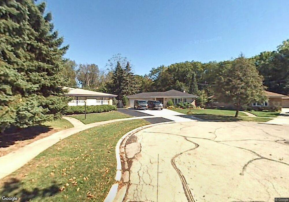
10402 Preston St Westchester, IL 60154
Estimated Value: $395,000 - $437,000
3
Beds
2
Baths
1,410
Sq Ft
$295/Sq Ft
Est. Value
About This Home
This home is located at 10402 Preston St, Westchester, IL 60154 and is currently estimated at $415,256, approximately $294 per square foot. 10402 Preston St is a home located in Cook County with nearby schools including Forest Road Elementary School, Park Junior High School, and Proviso West High School.
Ownership History
Date
Name
Owned For
Owner Type
Purchase Details
Closed on
Sep 17, 2001
Sold by
Radakovitz John M and Radakovitz Margaret M
Bought by
Fennessy Michael R and Fennessy Annmarie
Current Estimated Value
Home Financials for this Owner
Home Financials are based on the most recent Mortgage that was taken out on this home.
Original Mortgage
$200,000
Outstanding Balance
$78,387
Interest Rate
7.06%
Estimated Equity
$336,869
Create a Home Valuation Report for This Property
The Home Valuation Report is an in-depth analysis detailing your home's value as well as a comparison with similar homes in the area
Home Values in the Area
Average Home Value in this Area
Purchase History
| Date | Buyer | Sale Price | Title Company |
|---|---|---|---|
| Fennessy Michael R | -- | First American Title |
Source: Public Records
Mortgage History
| Date | Status | Borrower | Loan Amount |
|---|---|---|---|
| Open | Fennessy Michael R | $200,000 |
Source: Public Records
Tax History Compared to Growth
Tax History
| Year | Tax Paid | Tax Assessment Tax Assessment Total Assessment is a certain percentage of the fair market value that is determined by local assessors to be the total taxable value of land and additions on the property. | Land | Improvement |
|---|---|---|---|---|
| 2024 | $7,357 | $34,000 | $8,408 | $25,592 |
| 2023 | $5,609 | $34,000 | $8,408 | $25,592 |
| 2022 | $5,609 | $24,542 | $7,207 | $17,335 |
| 2021 | $6,264 | $24,540 | $7,206 | $17,334 |
| 2020 | $6,185 | $24,540 | $7,206 | $17,334 |
| 2019 | $6,422 | $26,160 | $6,606 | $19,554 |
| 2018 | $6,336 | $26,160 | $6,606 | $19,554 |
| 2017 | $6,231 | $26,160 | $6,606 | $19,554 |
| 2016 | $5,950 | $22,900 | $6,005 | $16,895 |
| 2015 | $5,838 | $22,900 | $6,005 | $16,895 |
| 2014 | $5,718 | $22,900 | $6,005 | $16,895 |
| 2013 | $5,917 | $26,168 | $6,005 | $20,163 |
Source: Public Records
Map
Nearby Homes
- 10511 Preston St
- 4 Garden Dr Unit 4
- 2623 Sunnyside Ave
- 10610 Essex St
- 2337 Kensington Ave
- 2401 Mayfair Ave
- 10461 Dorchester St
- 10630 W Cermak Rd Unit 2E
- 2858 Kensington Ave
- 205 Huntington Ct
- 2230 Kensington Ave
- 213 Pine Tree Ln
- 2205 Mayfair Ave
- 1908 Belleview Ave
- 1921 Buckingham Ave
- 3036 Downing Ave
- 10916 Kingston St
- 1860 Buckingham Ave
- 2925 Denton Ct
- 1427 Homestead Rd Unit H
- 10406 Preston St
- 10400 Preston St
- 10401 Preston St
- 2459 Belleview Ave
- 2455 Belleview Ave
- 2451 Belleview Ave
- 10405 Preston St
- 10409 Preston St
- 2443 Belleview Ave
- 10415 Preston St
- 2439 Belleview Ave
- 2435 Belleview Ave
- 2458 Belleview Ave
- 2458 Belleview Ave
- 10421 Preston St
- 2539 Hawthorne Ave
- 2450 Belleview Ave
- 2450 Belleview Ave
- 2431 Belleview Ave
- 2446 Belleview Ave