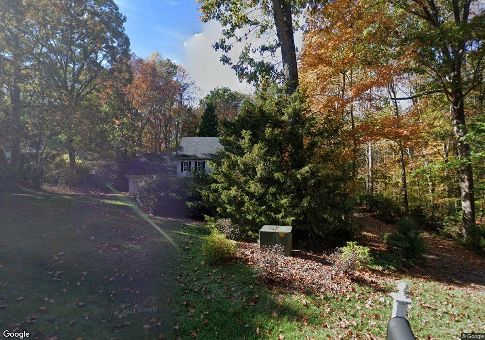
10405 Whitestone Rd Raleigh, NC 27615
Stonebridge NeighborhoodEstimated Value: $739,822 - $890,000
4
Beds
3
Baths
2,950
Sq Ft
$281/Sq Ft
Est. Value
About This Home
This home is located at 10405 Whitestone Rd, Raleigh, NC 27615 and is currently estimated at $829,456, approximately $281 per square foot. 10405 Whitestone Rd is a home located in Wake County with nearby schools including Baileywick Road Elementary School, West Millbrook Middle School, and Millbrook High School.
Ownership History
Date
Name
Owned For
Owner Type
Purchase Details
Closed on
Mar 25, 2014
Sold by
Burch Rick A and Hunt Jennifer A
Bought by
Dellasega Matthew L and Dellasega Kristen M
Current Estimated Value
Home Financials for this Owner
Home Financials are based on the most recent Mortgage that was taken out on this home.
Original Mortgage
$398,905
Outstanding Balance
$301,203
Interest Rate
4.24%
Mortgage Type
New Conventional
Estimated Equity
$528,253
Purchase Details
Closed on
Aug 5, 2005
Sold by
Coughlin Robert E and Coughlin Margaret M
Bought by
Burch Rick A and Hunt Jennifer A
Home Financials for this Owner
Home Financials are based on the most recent Mortgage that was taken out on this home.
Original Mortgage
$250,000
Interest Rate
5.51%
Mortgage Type
Fannie Mae Freddie Mac
Create a Home Valuation Report for This Property
The Home Valuation Report is an in-depth analysis detailing your home's value as well as a comparison with similar homes in the area
Home Values in the Area
Average Home Value in this Area
Purchase History
| Date | Buyer | Sale Price | Title Company |
|---|---|---|---|
| Dellasega Matthew L | $420,000 | None Available | |
| Burch Rick A | $435,000 | None Available |
Source: Public Records
Mortgage History
| Date | Status | Borrower | Loan Amount |
|---|---|---|---|
| Open | Dellasega Matthew L | $398,905 | |
| Previous Owner | Burch Rick A | $250,000 |
Source: Public Records
Tax History
| Year | Tax Paid | Tax Assessment Tax Assessment Total Assessment is a certain percentage of the fair market value that is determined by local assessors to be the total taxable value of land and additions on the property. | Land | Improvement |
|---|---|---|---|---|
| 2025 | $4,190 | $651,949 | $175,000 | $476,949 |
| 2024 | $4,069 | $651,949 | $175,000 | $476,949 |
Source: Public Records
Map
Nearby Homes
- 828 Reading Cir
- 5112 Bella Ridge Dr
- 609 Amelia Ave
- 10628 Tredwood Dr
- 1116 Berwyn Way
- 5428 Winding View Ln
- 1220 Hillingdon Way
- 712 Malbay Ln
- 14236 Wyndfield Cir
- 116 Mount Vernon Church Rd
- 9709 Baileywick Rd
- 5768 Cavanaugh Dr
- 1208 Fall Line Ct
- 5808 Norwood Ridge Dr
- 14020 Durant Rd
- 2424 Heartley Dr
- 5101 Makena Dr
- 812 Stradella Rd
- 9809 Baileywick Rd
- 401 Martindale Dr
- 800 Thatcher Way
- 10409 Whitestone Rd
- 10400 Whitestone Rd
- 10417 Whitestone Rd
- 10317 Whitestone Rd
- 808 Thatcher Way
- 10408 Whitestone Rd
- 10316 Whitestone Rd
- 10421 Whitestone Rd
- 10313 Whitestone Rd
- 10371 Whitestone Rd
- 805 Thatcher Way
- 809 Thatcher Way
- 10416 Whitestone Rd
- 10309 Whitestone Rd
- 10312 Whitestone Rd
- 813 Thatcher Way
- 812 Thatcher Way
- 805 Carrington Dr
- 916 Bennington Dr
Your Personal Tour Guide
Ask me questions while you tour the home.