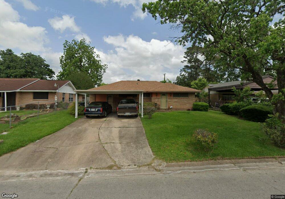
10406 Kelburn Dr Houston, TX 77016
East Little York NeighborhoodEstimated Value: $179,105 - $210,000
3
Beds
1
Bath
1,836
Sq Ft
$106/Sq Ft
Est. Value
About This Home
This home is located at 10406 Kelburn Dr, Houston, TX 77016 and is currently estimated at $195,526, approximately $106 per square foot. 10406 Kelburn Dr is a home located in Harris County with nearby schools including Shadydale Elementary School, Forest Brook Middle, and North Forest High School.
Ownership History
Date
Name
Owned For
Owner Type
Purchase Details
Closed on
Mar 11, 2005
Sold by
Wolfe 125 Ltd
Bought by
Moore John and Moore Terri Wiggins
Current Estimated Value
Home Financials for this Owner
Home Financials are based on the most recent Mortgage that was taken out on this home.
Original Mortgage
$38,400
Interest Rate
5.67%
Mortgage Type
Purchase Money Mortgage
Create a Home Valuation Report for This Property
The Home Valuation Report is an in-depth analysis detailing your home's value as well as a comparison with similar homes in the area
Home Values in the Area
Average Home Value in this Area
Purchase History
| Date | Buyer | Sale Price | Title Company |
|---|---|---|---|
| Moore John | -- | Alamo Title Company |
Source: Public Records
Mortgage History
| Date | Status | Borrower | Loan Amount |
|---|---|---|---|
| Closed | Moore John | $38,400 |
Source: Public Records
Tax History Compared to Growth
Tax History
| Year | Tax Paid | Tax Assessment Tax Assessment Total Assessment is a certain percentage of the fair market value that is determined by local assessors to be the total taxable value of land and additions on the property. | Land | Improvement |
|---|---|---|---|---|
| 2025 | $1,858 | $156,590 | $52,374 | $104,216 |
| 2024 | $1,858 | $149,735 | $52,374 | $97,361 |
| 2023 | $1,858 | $164,686 | $43,344 | $121,342 |
| 2022 | $1,846 | $132,966 | $36,120 | $96,846 |
| 2021 | $1,776 | $115,227 | $27,090 | $88,137 |
| 2020 | $1,678 | $105,456 | $18,782 | $86,674 |
| 2019 | $1,594 | $96,897 | $12,353 | $84,544 |
| 2018 | $70 | $77,675 | $12,353 | $65,322 |
| 2017 | $1,316 | $77,675 | $12,353 | $65,322 |
| 2016 | $1,197 | $77,675 | $12,353 | $65,322 |
| 2015 | $15 | $52,212 | $12,353 | $39,859 |
| 2014 | $15 | $42,971 | $12,353 | $30,618 |
Source: Public Records
Map
Nearby Homes
- 7226 Gore Dr
- 10317 Kelburn Dr
- 7210 Colton St
- 10313 Blades St
- 7234 Boggess Rd
- 10430 Royal Oaks Dr
- 7818 Laurel Gem Dr
- 7827 Laurel Gem Dr
- 7823 Laurel Gem Dr
- 7821 Laurel Gem Dr
- 7812 Laurel Gem Dr
- 7830 Laurel Gem Dr
- 7824 Laurel Gem Dr
- 7819 Laurel Gem Dr
- 7815 Laurel Gem Dr
- 10201 Homestead Rd
- 10128 Homestead Rd
- 10124 Homestead Rd
- 10120 Homestead Rd
- 10806 Bird of Paradise Ln
- 10410 Kelburn Dr
- 10402 Kelburn Dr
- 10414 Kelburn Dr
- 7213 Gore Dr
- 7209 Gore Dr
- 7217 Gore Dr
- 10405 Kelburn Dr
- 10409 Kelburn Dr
- 7203 Gore Dr
- 10418 Kelburn Dr
- 10401 Kelburn Dr
- 7221 Gore Dr
- 10413 Kelburn Dr
- 10333 Kelburn Dr
- 10417 Kelburn Dr
- 7225 Gore Dr
- 10422 Kelburn Dr
- 10329 Kelburn Dr
- 10421 Kelburn Dr
- 7229 Gore Dr