10408 Daw Collins Rd Cleveland, TX 77328
Estimated Value: $225,000 - $268,460
4
Beds
2
Baths
1,296
Sq Ft
$187/Sq Ft
Est. Value
About This Home
This home is located at 10408 Daw Collins Rd, Cleveland, TX 77328 and is currently estimated at $242,487, approximately $187 per square foot. 10408 Daw Collins Rd is a home located in Montgomery County with nearby schools including Splendora High School.
Ownership History
Date
Name
Owned For
Owner Type
Purchase Details
Closed on
Aug 1, 2017
Sold by
Corley Duane T
Bought by
Lowe Melvin A and Lowe Darla
Current Estimated Value
Home Financials for this Owner
Home Financials are based on the most recent Mortgage that was taken out on this home.
Original Mortgage
$60,000
Interest Rate
3.88%
Mortgage Type
Seller Take Back
Purchase Details
Closed on
Jul 21, 2017
Sold by
Lowe Melvin A
Bought by
Corley Duane T
Home Financials for this Owner
Home Financials are based on the most recent Mortgage that was taken out on this home.
Original Mortgage
$60,000
Interest Rate
3.88%
Mortgage Type
Seller Take Back
Purchase Details
Closed on
Dec 5, 1995
Sold by
Collins Darwin A-Estate Of
Bought by
Lowe Melvin A and Lowe Jeanette
Create a Home Valuation Report for This Property
The Home Valuation Report is an in-depth analysis detailing your home's value as well as a comparison with similar homes in the area
Home Values in the Area
Average Home Value in this Area
Purchase History
| Date | Buyer | Sale Price | Title Company |
|---|---|---|---|
| Lowe Melvin A | -- | None Available | |
| Corley Duane T | -- | None Available | |
| Lowe Melvin A | -- | None Available | |
| Lowe Melvin A | -- | -- |
Source: Public Records
Mortgage History
| Date | Status | Borrower | Loan Amount |
|---|---|---|---|
| Previous Owner | Lowe Melvin A | $60,000 | |
| Previous Owner | Corley Duane T | $15,000 |
Source: Public Records
Tax History Compared to Growth
Tax History
| Year | Tax Paid | Tax Assessment Tax Assessment Total Assessment is a certain percentage of the fair market value that is determined by local assessors to be the total taxable value of land and additions on the property. | Land | Improvement |
|---|---|---|---|---|
| 2025 | $451 | $198,956 | $111,780 | $87,176 |
| 2024 | $388 | $181,885 | -- | -- |
| 2023 | $388 | $165,350 | $111,780 | $78,410 |
| 2022 | $3,022 | $150,320 | $111,780 | $78,530 |
| 2021 | $2,840 | $136,650 | $0 | $0 |
| 2020 | $2,749 | $124,230 | $0 | $0 |
| 2019 | $2,636 | $112,940 | $62,100 | $50,840 |
| 2018 | $1,479 | $113,040 | $0 | $0 |
| 2017 | $2,508 | $107,150 | $0 | $0 |
| 2016 | $2,280 | $97,410 | $0 | $0 |
| 2015 | $675 | $88,550 | $41,400 | $47,150 |
| 2014 | $675 | $85,290 | $0 | $0 |
Source: Public Records
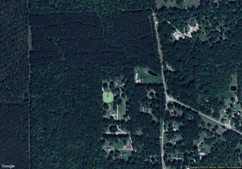
Map
Nearby Homes
- 22573 Morgan Cemetery Lot 4 Rd
- 22573 Morgan Cemetery Lot 1 Rd
- TBD Lisa Ln
- 3134 California Ave
- 21314 Highway 105
- 22380 Highway 105
- 7741 Timber Switch Rd
- 8550 Timber Switch Rd
- 12550 Daw Collins Rd
- 0000 Denson Reed Rd
- TBD2 Humbird Dr
- 0 Hicks Rd Unit 98394092
- 7617 Raquel Ln
- 2002 White Doe Ct
- 7890 Timber Switch Rd
- 1255 Lee Turner Rd
- 1115 Greenbelt Dr
- 2020 White Buck Ct
- 23596 Goode Rd
- 0 Pioneer Ln Unit 51673636
- 10344 Daw Collins Rd
- 10410 Daw Collins Rd
- 10350 Daw Collins Rd
- 10356 Daw Collins Rd
- 10343 Daw Collins Rd
- 10401 Daw Collins Rd
- 10412 Daw Collins Rd
- 0 Daw Collins
- 10411 Daw Collins Rd
- 10362 Daw Collins Rd
- 10421 Daw Collins Rd
- 10125 Daw Collins Rd
- 10455 Daw Collins Rd
- 22034 Morgan Cemetery Rd
- 9753 Daw Collins Rd
- 9753 Daw Collins Rd
- 22041 Morgan Cemetery Rd
- 9754 Daw Collins Rd
- 22051 Morgan Cemetery Rd
- 22057 Morgan Cemetery Rd