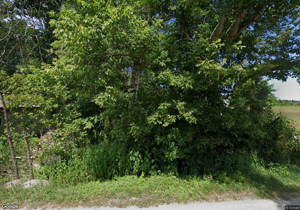
1041 Adams Rd Beaver, OH 45613
Estimated Value: $183,807 - $368,000
4
Beds
1
Bath
2,079
Sq Ft
$123/Sq Ft
Est. Value
About This Home
This home is located at 1041 Adams Rd, Beaver, OH 45613 and is currently estimated at $255,202, approximately $122 per square foot. 1041 Adams Rd is a home located in Pike County.
Ownership History
Date
Name
Owned For
Owner Type
Purchase Details
Closed on
Oct 20, 2022
Sold by
Schilling Timothy M
Bought by
Schrader Brenda S and Schrader Cary W
Current Estimated Value
Purchase Details
Closed on
Sep 22, 2010
Sold by
Dupras James D and Dupras James D
Bought by
Schilling Topm
Purchase Details
Closed on
Apr 17, 2006
Sold by
Blankenship Donald E and Blankenship Deborah L
Bought by
Dupras James D and Dupras Shannon R
Home Financials for this Owner
Home Financials are based on the most recent Mortgage that was taken out on this home.
Original Mortgage
$22,200
Interest Rate
6.39%
Mortgage Type
Unknown
Create a Home Valuation Report for This Property
The Home Valuation Report is an in-depth analysis detailing your home's value as well as a comparison with similar homes in the area
Home Values in the Area
Average Home Value in this Area
Purchase History
| Date | Buyer | Sale Price | Title Company |
|---|---|---|---|
| Schrader Brenda S | -- | -- | |
| Schilling Topm | $66,000 | None Available | |
| Dupras James D | $33,000 | None Available |
Source: Public Records
Mortgage History
| Date | Status | Borrower | Loan Amount |
|---|---|---|---|
| Previous Owner | Dupras James D | $22,200 |
Source: Public Records
Tax History Compared to Growth
Tax History
| Year | Tax Paid | Tax Assessment Tax Assessment Total Assessment is a certain percentage of the fair market value that is determined by local assessors to be the total taxable value of land and additions on the property. | Land | Improvement |
|---|---|---|---|---|
| 2024 | $1,333 | $41,330 | $10,470 | $30,860 |
| 2023 | $1,333 | $41,330 | $10,470 | $30,860 |
| 2022 | $791 | $24,460 | $8,510 | $15,950 |
| 2021 | $769 | $24,460 | $8,510 | $15,950 |
| 2020 | $775 | $24,460 | $8,510 | $15,950 |
| 2019 | $718 | $22,240 | $7,740 | $14,500 |
| 2018 | $700 | $22,240 | $7,740 | $14,500 |
| 2017 | $931 | $38,070 | $7,740 | $30,330 |
| 2016 | $975 | $30,280 | $3,840 | $26,440 |
| 2015 | $976 | $30,280 | $3,840 | $26,440 |
| 2014 | $993 | $30,280 | $3,840 | $26,440 |
| 2013 | $1,056 | $30,280 | $3,840 | $26,440 |
| 2012 | $1,096 | $30,280 | $3,840 | $26,440 |
Source: Public Records
Map
Nearby Homes
- 2605 Adams Rd
- 3115 Coal Dock Rd
- 874 Gravel Hill Rd
- 1722 Beaver Pike
- 2765 Bobo Rd
- 6183 Ohio 335
- 513 Posey Ridge Rd
- 0 Holbrook Rd
- 1112 Bailey Rd
- 301 3rd St
- 789 Moats Hollow Rd
- 967 Bobo Rd
- 001 Ervin Hill Rd
- 215 Ohio 335
- 441 Loop Rd
- 1490 Millers Ln
- 01 Ervin Hill Rd
- 2351 Beaver Creek Rd
- 2590 Zahns Corner Rd Unit 220562
- 1774 Owl Creek Rd
