1041 Andy Cooper Rd Port Ludlow, WA 98365
Estimated Value: $734,569 - $889,000
2
Beds
3
Baths
3,845
Sq Ft
$210/Sq Ft
Est. Value
About This Home
This home is located at 1041 Andy Cooper Rd, Port Ludlow, WA 98365 and is currently estimated at $807,856, approximately $210 per square foot. 1041 Andy Cooper Rd is a home located in Jefferson County with nearby schools including Chimacum Creek Primary School, Chimacum School Pi Program, and Chimacum Elementary School.
Ownership History
Date
Name
Owned For
Owner Type
Purchase Details
Closed on
Sep 22, 2007
Sold by
Crittenden Richard B and Crittenden Janice
Bought by
Crittenden Richard B and Crittenden Janice
Current Estimated Value
Home Financials for this Owner
Home Financials are based on the most recent Mortgage that was taken out on this home.
Original Mortgage
$323,640
Interest Rate
6.61%
Mortgage Type
New Conventional
Create a Home Valuation Report for This Property
The Home Valuation Report is an in-depth analysis detailing your home's value as well as a comparison with similar homes in the area
Home Values in the Area
Average Home Value in this Area
Purchase History
| Date | Buyer | Sale Price | Title Company |
|---|---|---|---|
| Crittenden Richard B | -- | None Available |
Source: Public Records
Mortgage History
| Date | Status | Borrower | Loan Amount |
|---|---|---|---|
| Closed | Crittenden Richard B | $323,640 |
Source: Public Records
Tax History Compared to Growth
Tax History
| Year | Tax Paid | Tax Assessment Tax Assessment Total Assessment is a certain percentage of the fair market value that is determined by local assessors to be the total taxable value of land and additions on the property. | Land | Improvement |
|---|---|---|---|---|
| 2024 | $4,628 | $618,013 | $165,050 | $452,963 |
| 2023 | $4,628 | $579,350 | $146,080 | $433,270 |
| 2022 | $4,197 | $567,129 | $133,860 | $433,269 |
| 2021 | $4,133 | $453,261 | $110,970 | $342,291 |
| 2020 | $3,945 | $420,591 | $102,750 | $317,841 |
| 2019 | $3,594 | $387,922 | $94,530 | $293,392 |
| 2018 | $3,728 | $355,252 | $86,310 | $268,942 |
| 2017 | $3,637 | $326,693 | $82,200 | $244,493 |
| 2016 | $3,751 | $326,693 | $82,200 | $244,493 |
| 2015 | $3,699 | $333,645 | $72,200 | $261,445 |
| 2014 | -- | $333,645 | $72,200 | $261,445 |
| 2013 | -- | $333,645 | $72,200 | $261,445 |
Source: Public Records
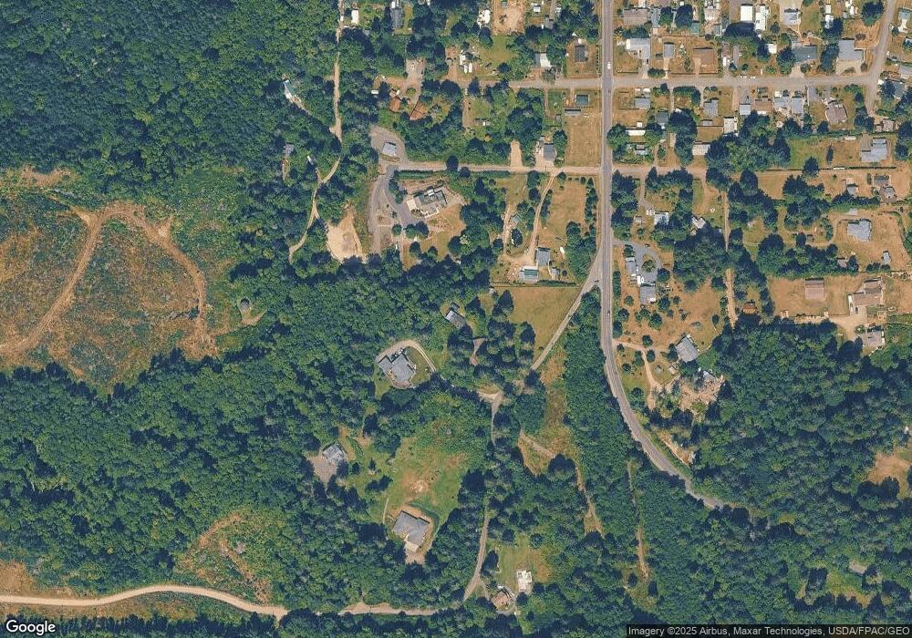
Map
Nearby Homes
- 3863 Paradise Bay Rd
- 0 Hill St
- 71 W Cedar St
- 144 E Hemlock St
- 15 White Rock Ln
- 13 White Rock Ln
- 54 Ship View Ct
- 2965 Paradise Bay Rd
- 61 McCartney Peak Ln
- 61 McCartney Peak Ln Unit 73
- 490 Mount Constance Way
- 644 & 634 Bywater Way
- 71 McCartney Peak Ln Unit 72
- 90 McCartney Peak Ln Unit 70
- 51 McCartney Peak Ln Unit 74
- 81 McCartney Peak Ln Unit 71
- 11 McCartney Peak Ln Unit 78
- 80 McCartney Peak Ln Unit 69
- 81 Mccartney Ln
- 71 Mccartney Ln