1041 Bob Slack Dr Greensboro, GA 30642
Estimated Value: $1,915,000 - $3,692,000
--
Bed
3
Baths
5,769
Sq Ft
$482/Sq Ft
Est. Value
About This Home
This home is located at 1041 Bob Slack Dr, Greensboro, GA 30642 and is currently estimated at $2,780,558, approximately $481 per square foot. 1041 Bob Slack Dr is a home located in Greene County with nearby schools including Greene County High School.
Ownership History
Date
Name
Owned For
Owner Type
Purchase Details
Closed on
Jul 31, 2007
Sold by
Blackwell Lawrence W
Bought by
Blackwell Donna H
Current Estimated Value
Purchase Details
Closed on
Dec 29, 2000
Sold by
Millen Donald W and Millen Elizabeth W
Bought by
Blackwell Lawrence W and Blackwell Donna
Purchase Details
Closed on
May 21, 1991
Sold by
Jarrard James R and Jarrard Gary M
Bought by
Millen Donald W and Millen Elizabeth W
Purchase Details
Closed on
Jan 1, 1988
Sold by
Evans Thomas E and Evans Bonnie
Bought by
Jarrard James R and Jarrard Gary M
Purchase Details
Closed on
Jan 1, 1984
Sold by
Lake Oconee Inc
Bought by
Evans Thomas E and Evans Bonnie
Create a Home Valuation Report for This Property
The Home Valuation Report is an in-depth analysis detailing your home's value as well as a comparison with similar homes in the area
Home Values in the Area
Average Home Value in this Area
Purchase History
| Date | Buyer | Sale Price | Title Company |
|---|---|---|---|
| Blackwell Donna H | -- | -- | |
| Blackwell Lawrence W | $395,000 | -- | |
| Millen Donald W | $189,000 | -- | |
| Jarrard James R | $65,600 | -- | |
| Evans Thomas E | -- | -- |
Source: Public Records
Tax History Compared to Growth
Tax History
| Year | Tax Paid | Tax Assessment Tax Assessment Total Assessment is a certain percentage of the fair market value that is determined by local assessors to be the total taxable value of land and additions on the property. | Land | Improvement |
|---|---|---|---|---|
| 2024 | $5,431 | $825,912 | $265,920 | $559,992 |
| 2023 | $5,159 | $796,192 | $265,920 | $530,272 |
| 2022 | $6,061 | $572,108 | $265,920 | $306,188 |
| 2021 | $6,502 | $538,548 | $263,520 | $275,028 |
| 2020 | $6,950 | $339,180 | $184,680 | $154,500 |
| 2019 | $7,153 | $339,180 | $184,680 | $154,500 |
| 2018 | $7,143 | $339,180 | $184,680 | $154,500 |
| 2017 | $6,638 | $336,990 | $184,680 | $152,310 |
Source: Public Records
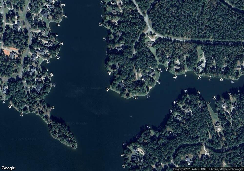
Map
Nearby Homes
- 1611 Lighthouse Cir
- 1031 Hawks Bill Dr
- 1321 Swift Creek
- 1071 Westchester Dr
- 2031 Pine Valley Ct
- 2700 Club Dr
- 2660 Club Dr
- 1991 Armour Bridge Rd
- 1010 Portage Trail
- 1050 Tailwater Unit A
- 1050 Tailwater
- 1030 Tailwater
- 1201 Swift Creek
- 1010 Tailwater
- 1140 Fox Bend
- 1390 Winged Foot Dr
- 2541 Club Dr
- 1101 Shoal Creek Ct
- 1010 Creekside Unit A
- 1040 Bob Slack Dr
- 1031 Bob Slack Dr
- 1030 Bob Slack Dr Unit 15
- 1030 Bob Slack Dr
- 1020 Bob Slack Dr
- 1021 Bob Slack Dr
- 1011 Bob Slack Dr
- 1761 A P Roper Rd
- 1781 A P Roper Rd Unit 12
- 1781 A P Roper Rd
- 1801 A P Roper Rd
- 1000 Sourwood Ridge
- 2310 Armour Bridge Rd
- 2340 Armour Bridge Rd
- 2360 Armour Bridge Rd
- 2300 Armour Bridge Rd
- 1010 Sourwood Ridge
- 2320 Armour Bridge Rd
- 1001 W Paces Rd Unit 8
- 1001 W Paces Rd