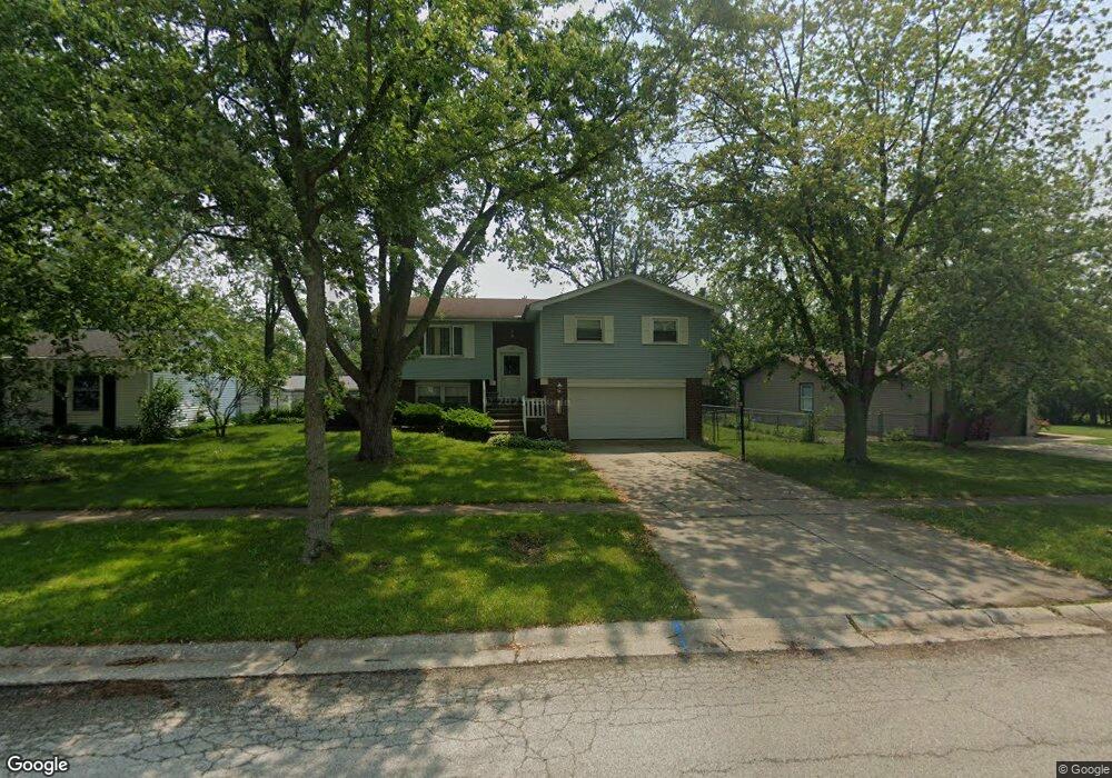
1041 Bradfield Ct University Park, IL 60484
Estimated Value: $243,000 - $278,000
--
Bed
1
Bath
2,367
Sq Ft
$110/Sq Ft
Est. Value
About This Home
This home is located at 1041 Bradfield Ct, University Park, IL 60484 and is currently estimated at $260,500, approximately $110 per square foot. 1041 Bradfield Ct is a home located in Will County with nearby schools including Balmoral Elementary School, Crete-Monee Middle School, and Crete-Monee High School.
Ownership History
Date
Name
Owned For
Owner Type
Purchase Details
Closed on
Jul 31, 2000
Sold by
Walter Neeley Paulette
Bought by
Will Bradfield 1041 Trust
Current Estimated Value
Purchase Details
Closed on
Dec 16, 1997
Sold by
Islas Jose G and Islas Marilyn R
Bought by
Walter Neeley Paulette
Home Financials for this Owner
Home Financials are based on the most recent Mortgage that was taken out on this home.
Original Mortgage
$97,000
Interest Rate
7.28%
Mortgage Type
VA
Create a Home Valuation Report for This Property
The Home Valuation Report is an in-depth analysis detailing your home's value as well as a comparison with similar homes in the area
Home Values in the Area
Average Home Value in this Area
Purchase History
| Date | Buyer | Sale Price | Title Company |
|---|---|---|---|
| Will Bradfield 1041 Trust | -- | -- | |
| Walter Neeley Paulette | $97,000 | -- |
Source: Public Records
Mortgage History
| Date | Status | Borrower | Loan Amount |
|---|---|---|---|
| Previous Owner | Walter Neeley Paulette | $97,000 |
Source: Public Records
Tax History Compared to Growth
Tax History
| Year | Tax Paid | Tax Assessment Tax Assessment Total Assessment is a certain percentage of the fair market value that is determined by local assessors to be the total taxable value of land and additions on the property. | Land | Improvement |
|---|---|---|---|---|
| 2024 | $8,215 | $65,451 | $8,402 | $57,049 |
| 2023 | $8,215 | $56,423 | $7,243 | $49,180 |
| 2022 | $6,995 | $49,633 | $6,371 | $43,262 |
| 2021 | $6,665 | $45,192 | $5,852 | $39,340 |
| 2020 | $6,609 | $43,727 | $5,662 | $38,065 |
| 2019 | $6,724 | $41,467 | $5,369 | $36,098 |
| 2018 | $6,593 | $39,847 | $5,255 | $34,592 |
| 2017 | $6,435 | $38,043 | $5,138 | $32,905 |
| 2016 | $6,104 | $36,021 | $4,941 | $31,080 |
| 2015 | $5,250 | $32,924 | $4,503 | $28,421 |
| 2014 | $5,250 | $32,470 | $4,441 | $28,029 |
| 2013 | $5,250 | $34,000 | $4,650 | $29,350 |
Source: Public Records
Map
Nearby Homes
- 1109 Abbot Ln
- 1039 Barrow Ct
- 1031 Blackhawk Dr
- 740 Mission St
- 613 Farmview Rd
- 537 Nathan Rd
- 1039 Abbot Ln
- 1032 Samson Dr
- 1029 Samson Dr
- 607 Sullivan Ln
- 543 Regent Rd
- 1244 Harvest Ln
- 608 Sullivan Ln
- 903 Blackhawk Dr
- 662 Sullivan Ln
- 655 Sullivan Ln
- 815 Blackhawk Dr
- 807 Blackhawk Dr
- 612 Hickok Ave
- 735 Union Dr
- 1043 Bradfield Ct
- 1039 Bradfield Ct
- 1042 Brockhurst Ct
- 1040 Brockhurst Ct
- 1114 Abbott Ln
- 1037 Bradfield Ct
- 1116 Abbott Ln
- 1112 Abbott Ln
- 1036 Bradfield Ct
- 1040 Bradfield Ct
- 1036 Brockhurst Ct
- 1035 Bradfield Ct
- 1033 Bradfield Ct
- 1042 Bradfield Ct
- 1034 Bradfield Ct
- 1120 Abbott Ln
- 1043 Brockhurst Ct
- 1034 Brockhurst Ct Unit 1
- 1041 Brockhurst Ct
- 1037 Barrow Ct